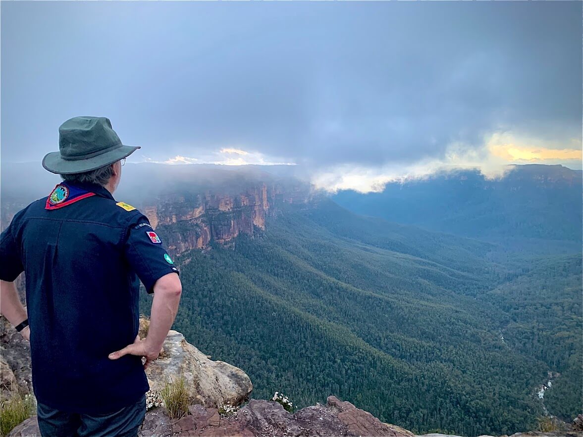
Where data meets the dirt.
So we built the tool we always wished existed. Then we kept building until it was unfair.
Sound familiar?
The alarm goes off at 4am. You’re out the door before sunrise, hours of driving ahead, detector and pan in the back, hope in your chest.
You get to the spot. You work it hard. You cover every inch. You find a shotgun shell, half a horseshoe, and enough rusted fencing wire to rebuild the fence it came from. You drive home in the dark. And there she is. The look. The quiet one. The “didn’t find anything again, did you” look.
You swore it was going to be different this time. It wasn’t. Not because you didn’t try hard enough. Not because you don’t know your craft. Because you were in the wrong spot, and you had no way of knowing it. The bloke two gullies over wasn’t luckier than you. He was just standing somewhere better.
That’s the problem Dig Here was built to solve.
The origin
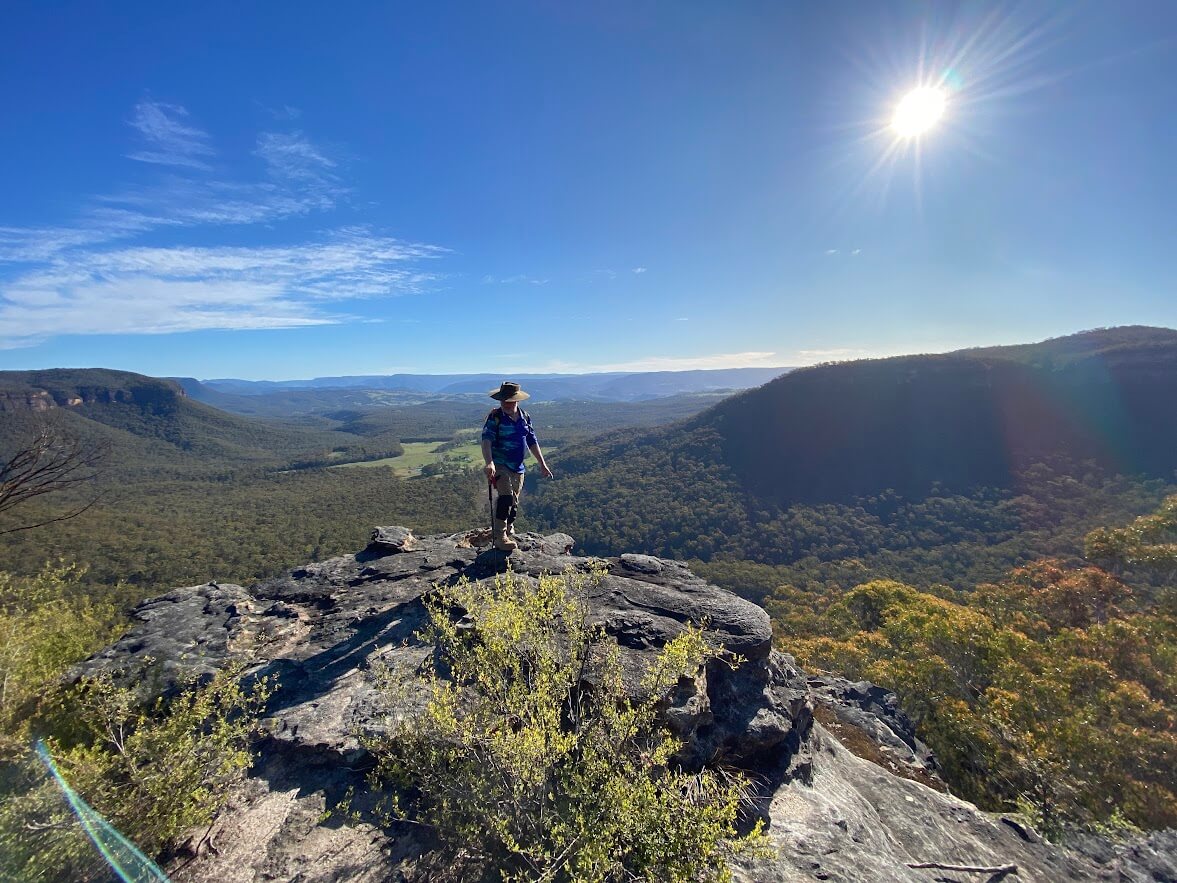
Andrew Davis and James Robinson met through Scouting, where they still lead groups of kids and adults off-track through some genuinely rough country. Between them there are decades of bushwalking, a stack of outdoor qualifications they’ll happily bore you with (off-track navigation in remote terrain, Search and Rescue, wilderness first aid, the works), and a shared habit of choosing routes that don’t appear on any map.
The useful bit isn’t the certificates. It’s the years spent reading country the old way: compass and topo map, watching how water moves through a valley, noticing where a slope breaks and where a gully tightens. Gold obeys the same terrain rules that walkers navigate by. That’s the knowledge underneath Dig Here, and it was learned on foot, not from a screen.
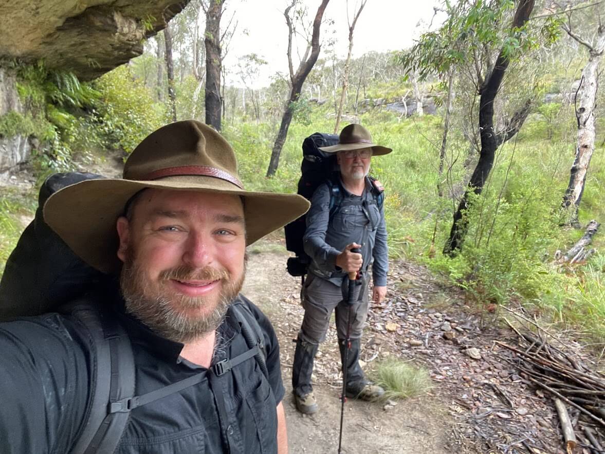
The combination
By day, both have spent their careers building software: one wrangling enterprise data systems, the other working in GPS and mapping. By weekend, both are out prospecting, and both kept hitting the same wall every prospector hits: the public data that could tell you where to dig exists, but it’s scattered across government portals, PDFs, and archives that seem designed to never be read. So they did what data people do when something annoys them enough. They built the thing. One of them owns more detectors than pairs of shoes. Neither will confirm which one.
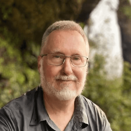
Databases. Detectors. Dad jokes.
“Andrew’s the bloke who, when a government portal says ‘no bulk download available’, goes quiet for two days and comes back with the entire dataset, cleaned, georeferenced, and slightly annoyed it took that long. Twenty-odd years of enterprise data work does that to a person. He’s also the reason our trip plans look like flight manifests. His trip-logging app, Logs Kept Simple, is used by expedition leaders around the country. Mostly because he got sick of everyone else’s paperwork.” - James
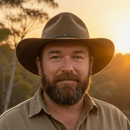
GPS by day. Gold by weekend.
“James does GPS and tracking systems for a living, keeping some of Australia’s biggest fleets on the map, so he physically cannot get lost, which is infuriating. He’s the one who’ll stop mid-walk, squint at a hillside, and say ‘that bench shouldn’t be there’ and be right about it. He built the Naismith’s Rule Calculator that walkers use to estimate travel times in steep country. And yes, some of the best pins in Dig Here started life in his private notebook. He knows. He’s coping.” - Andrew
Between the two of them: the data, the maps, the bush sense, and one shared question that wouldn’t go away. What if all of it pointed at a single spot on the ground?
What we actually built
Finding gold is a three-part problem, and most apps solve part of one. We were greedy. We built all three.
Pillar 1 · See the ground
Three tiers of bare-earth LiDAR terrain across Australia and New Zealand, then nine specialist analysis layers on top: paleochannels, terrace benches, workings bump, sky-view factor, local relief, slope, openness, and a composite that makes 160-year-old diggings jump off the screen. The scrub that’s been hiding old workings from every satellite photo ever taken? Gone. Other apps sell a single-angle hillshade as a paid extra, state by state. We include the whole lab.
And we’ve taken the same terrain intelligence to North America. Seamless hillshade across the entire United States and Canada, with dense 1-metre elevation in the big gold states: California, Nevada, Colorado, Idaho, Arizona, and more. Same quality. Same platform. Different continent.
Pillar 2 · Read the evidence
Over 2.2 million drill hole assays with actual gold grades. Gravity, magnetics, and radiometrics. Surface geochemistry and pathfinder elements. Every recorded working, current lease, and historic lease - including 293 gold workings and 722 active mining permits across New Zealand. Over 2.5 million watercourse segments with downstream flow direction arrows, colour-coded by flow type: perennial streams in bright blue, seasonal dry gullies in lighter blue. Those dry gullies are often the most productive alluvial ground, because gold concentrates as water recedes. No other prospecting platform shows you which way the water flows. Plus the boring-but-vital stuff: fossicking districts, parks, and reserves in Australia. DOC conservation land, national parks, and 19 designated Gold Fossicking Areas in New Zealand. Per-pin land tenure checks across both countries, so you know you’re allowed to dig before you drive three hours to find out you’re not.
Pillar 3 · Know where to dig
Our fusion engine scores every patch of goldfield country against 20+ independent datasets and drops ranked pins where the evidence converges. Each pin explains itself in plain English: what was found nearby, what the terrain is doing, how to work the ground when you get there, and whether you’re legally allowed to. No other prospecting app in Australia does this. Not one. We checked. Thoroughly. It was a fun afternoon.
Why does convergence matter? Because no single dataset identifies a target with confidence. The signal is always weak in isolation. But when twenty independent datasets, each measuring a completely different physical property of the same location, all point to the same spot, the probability of a false positive approaches zero. Each one a whisper. Together, they shout.
“Data becomes information. Information becomes knowledge. Knowledge grows into wisdom. Wisdom to know why to Dig Here.”
Every dataset is scored and combined using a convergence framework that rewards independent signals pointing to the same location. Two datasets measuring the same thing add up. Two completely unrelated datasets converging on the same spot multiply. The result is a single number: a Prospectivity Score. You can rank locations, filter by confidence, and walk straight to the spots where the evidence is loudest, instead of covering kilometres hoping something beeps.
Stop covering ground hoping something beeps. Start knowing where to put your feet.
Things we promise
LiDAR is included. Not a $150-per-state add-on. Not a “coming soon for your state”. In the plan, full stop. We think charging extra for the single most useful layer in prospecting is a bit like selling a ute without the tray.
Your spots stay yours. Private waypoints, exportable to KML/GPX. We built this to find gold, not to farm your secret gully for content.
Plain English, always. You shouldn’t need a geology degree to read a pin. Every score explains itself: what the evidence says, why it matters, and what to do about it on the ground.
We use it ourselves. Every weekend we can get away with it. If a feature annoys us in the field, it gets fixed on Monday. This is the fastest feedback loop in the industry: the developers are also the angriest customers.
The gold is still out there. The old-timers only got what their eyes and shovels could reach.
The terrain. The assays. The history. The fusion engine.
All on one map. All pointing at the same spot.
Free plan available. No credit card required.