Bendemeer Station
New England. 5.3 km south-east of Bendemeer.
Gazetted
2 November 2001
Mapped size
1.4 square kilometres
Nearest town
Bendemeer
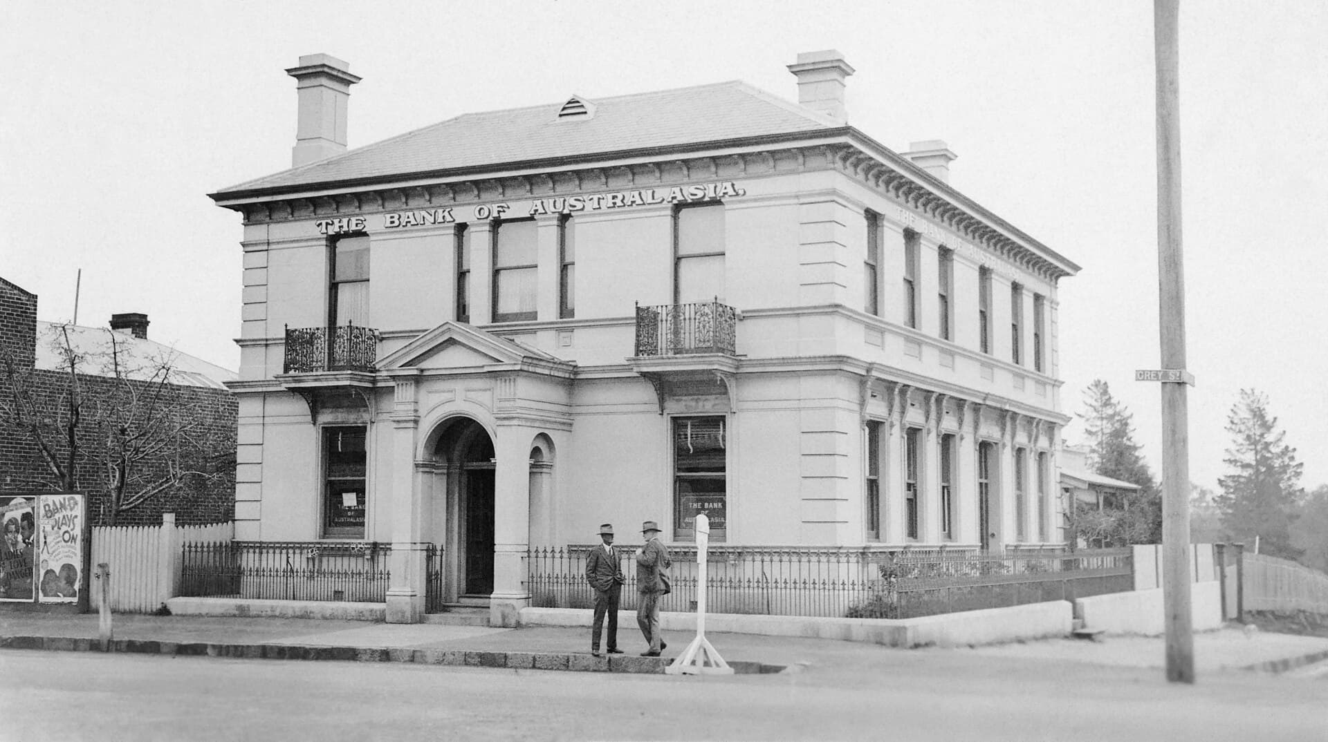
Photo: Jack Bain (CC0). Wikimedia Commons.
Location
Gold marker: the middle of Bendemeer Station. Dark marker: Bendemeer.
Fossicking district
The gold line is the gazetted fossicking district. Inside it, you do not need an exploration licence holder's consent. The line is not landholder permission, and it is not the only place fossicking can be lawful in New South Wales.
Line simplified from Geological Survey of NSW fossicking districts, CC BY
History
Bendemeer Station is a fossicking district mapped as a defined patch of ground. It was gazetted on 2 November 2001 and covers about 1.4 square kilometres. The ground sits 5.3 km south-east of Bendemeer.
It carries forward former fossicking area 66, one of the old fossicking areas remade as districts in November 2001.
Inside the mapped district, the Geological Survey of NSW mineral inventory records Manganese (1). Those are recorded locations of mineralisation. They are not grades, and they are not a forecast of what a pan will show.
What you can find
Inside this district, manganese is the most common record in the state inventory. Treat that as a geological hint, then check titles and the landholder before you dig.
Anything you keep has to fit the state take-home limits: 50 grams of gold in any 48 hours, up to five nuggets of 10 grams or more, 100 grams of gemstones, 10 kilograms of gold or gem-bearing material, and 5 kilograms of other minerals. Publicly owned minerals found while fossicking lawfully become yours. No royalty is charged on them.
Getting there
Use Bendemeer as the last supply stop. This district is 5.3 km south-east of Bendemeer. Confirm the last stretch of road before you leave the bitumen.
The mapped line is the district. Private land inside or beside it still needs the landholder's permission. A mining lease still needs the lease holder.
Open the district on the Dig Here map before you drive. The map shows this boundary against current titles, which a printed description cannot keep up to date.
Camping
The gazette notice does not create a campground. Plan to stay in Bendemeer unless you already have permission to camp on the land you are visiting.
New England evenings are cold for much of the year. A day trip from town is the simple plan, with a warm layer in the vehicle even in spring.
Important notes
- !Inside a fossicking district you still need the landholder's permission on private land. You do not need the exploration licence holder's consent. A mining lease, mineral claim, or opal prospecting licence still needs that holder's consent.
- !Hand tools only. A pan, sieve, pick, shovel, non-powered sluice, and metal detector fit the rules. Pumps, dredges, powered trommels, and machinery do not.
- !Disturb no more than one cubic metre of ground in any 48 hours, put the soil back, and take your rubbish with you.
- !On native title land or water you need the registered native title body's consent. The only tools allowed there are hand-held, and digging or clearing is not permitted.
- !Mineral counts on this page are locations from the Geological Survey of NSW. They are not grades.
Nearby districts
Open Bendemeer Station on the map
Titles change. Check this boundary against current leases before you dig.
Open mapDistrict boundaries and mineral counts are from the Geological Survey of NSW, CC BY. The words on this page are Dig Here's. Read the current rules on the NSW Resources fossicking page and check titles in MinView.