Fossicking in New South Wales
Gold at Ophir, tin and sapphires on the New England tableland, opal in the far west, and seventy gazetted districts in between. This guide is written by Dig Here from the official maps and the mineral inventory.
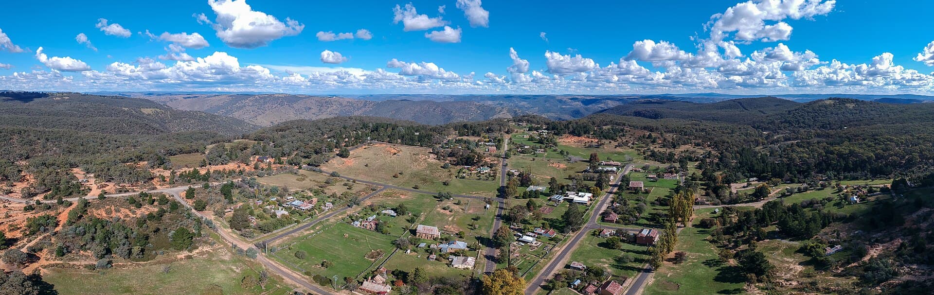
Photo: Maksym Kozlenko (CC BY-SA 4.0). Wikimedia Commons.
General licence
None
Districts
70
Forest permit
$27.50 / 12 mo
Hand digging
1 m3 / 48h
How fossicking works here
New South Wales does not sell a fossicking licence for the whole state. If you are allowed to be on the land, fossicking with hand tools is lawful. What you separate from publicly owned minerals, while you stay inside those rules, becomes yours. There is no royalty on it.
A fossicking district changes one thing. Inside the line, you do not have to ask the exploration licence holder. Outside the line, that consent is still required. Everything else stays: the person who owns or manages the land, any mining lease, any mineral claim, any opal prospecting licence, native title, and the national park and state forest rules.
What the district line does
Drops one consent
Inside the district, an exploration licence does not block fossicking. You do not need that holder's permission.
Leaves the rest in place
Private land, Crown land that is leased or managed, a mining lease, a mineral claim, and an opal prospecting licence all still need the right consent.
Is not a treasure map
Some districts are old gold creeks. Some are whole shires. Some have nothing in the mineral inventory. The gazette is a legal line, not a grade.
All 70 districts
Each dot is the middle of a gazetted district. Open a dot for the guide, or scroll for the same places grouped by region. Shire-wide districts are large. A creek district can be a hectare.
Centres from Geological Survey of NSW fossicking districts, CC BY.
Central West
Ophir, Sofala, Hill End, Bathurst, Mudgee, and the shires around them. This is where the New South Wales gold rushes began.
Abercrombie Caves
Mapped district11 km south of Trunkey Creek
Abercrombie Caves is a fossicking district mapped as a defined patch of ground. It was gazetted on 2 November 2001 and covers about 1 hectare. The ground sits 11 km south of Trunkey Creek.
Read the guide
Bathurst Regional
Shire-wide district6.5 km south-west of Bathurst
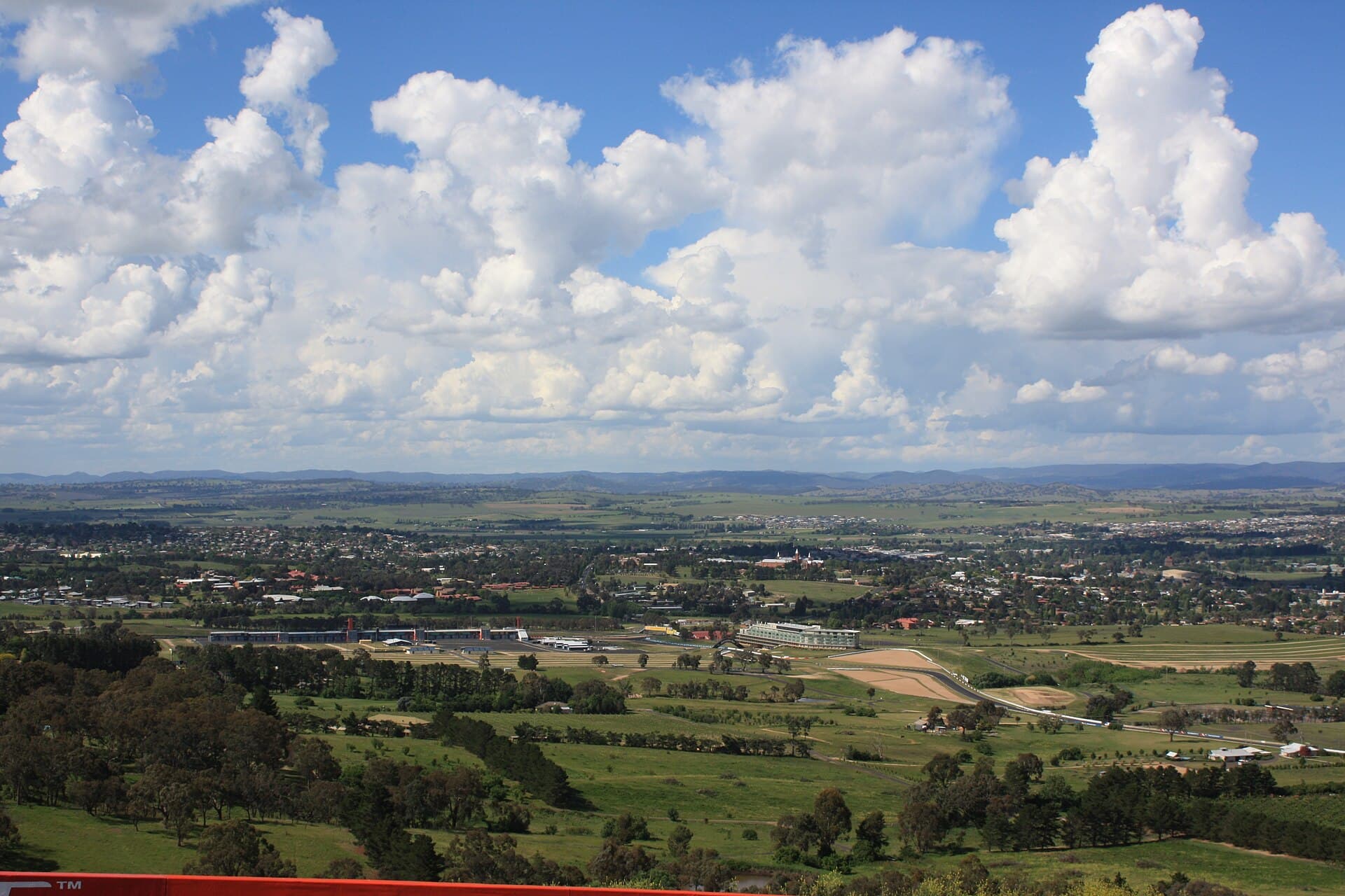
Bathurst Regional is a fossicking district drawn around a local government area. It was gazetted on 2 September 2016. The mapped area is about 3827 square kilometres. The middle of the district sits 6.5 km south-west of Bathurst.
Read the guide
Blayney
Shire-wide district14 km north-west of Mandurama
Blayney is a fossicking district drawn around a local government area. It was gazetted on 14 July 2017. The mapped area is about 1530 square kilometres. The middle of the district sits 14 km north-west of Mandurama.
Read the guide
Cabonne
Shire-wide district5.6 km north of Cudal
Cabonne is a fossicking district drawn around a local government area. It was gazetted on 2 June 2017. The mapped area is about 6033 square kilometres. The middle of the district sits 5.6 km north of Cudal.
Read the guide
Campbells River
Mapped district13 km north-east of Burraga
Campbells River is a fossicking district mapped as a defined patch of ground. It was gazetted on 2 November 2001 and covers about 2 hectares. The ground sits 13 km north-east of Burraga.
Read the guide
Dubbo
Shire-wide district10 km west of Stuart Town
Dubbo is a fossicking district drawn around a local government area. It was gazetted on 14 February 2020. The mapped area is about 7527 square kilometres. The middle of the district sits 10 km west of Stuart Town.
Read the guide
Golden Gully
Mapped district4.1 km north of Hill End
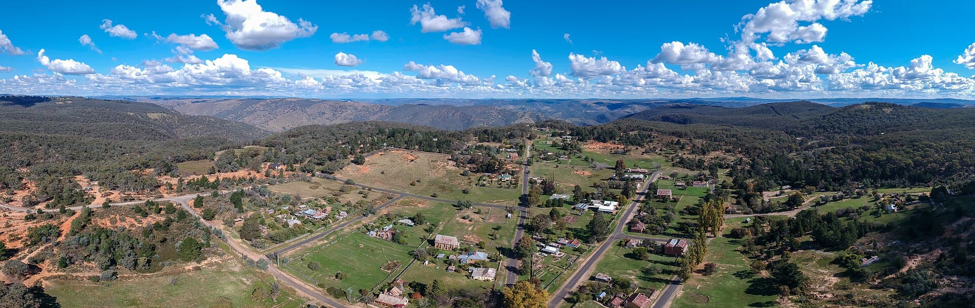
Golden Gully is a fossicking district mapped as a defined patch of ground. It was gazetted on 2 November 2001 and covers about 3 hectares. The ground sits 4.1 km north of Hill End.
Read the guide
Hopes Creek
Mapped district16 km south-west of Oberon
3 gazetted sections (Nos 32, 33, 34)
Hopes Creek is a fossicking district mapped as a defined patch of ground. It was gazetted on 2 November 2001 and covers under 1 hectare. The ground sits 16 km south-west of Oberon.
Read the guide
Long Creek
Mapped district2.8 km east of Windeyer
Long Creek is a fossicking district mapped as a defined patch of ground. It was gazetted on 2 November 2001 and covers about 5 hectares. The ground sits 2.8 km east of Windeyer.
Read the guide
Maudry State Forest
State forest18 km north-west of Grenfell
Maudry State Forest is a fossicking district mapped over state forest. It was gazetted on 2 November 2001 and covers about 5 hectares. The ground sits 18 km north-west of Grenfell.
Read the guide
Mid-Western Regional
Shire-wide district18 km east of Mudgee
Mid-Western Regional is a fossicking district drawn around a local government area. It was gazetted on 2 June 2017. The mapped area is about 8773 square kilometres. The middle of the district sits 18 km east of Mudgee.
Read the guide
Ophir
Public reserve19 km north-east of Orange
Ophir is a fossicking district on a public recreation reserve. It was gazetted on 19 September 1997 and covers about 5.4 square kilometres. The reserve sits 19 km north-east of Orange.
Read the guide
Poor Mans Gully
Mapped districton the edge of Stuart Town
Poor Mans Gully is a fossicking district mapped as a defined patch of ground. It was gazetted on 2 November 2001 and covers about 3 hectares. The ground sits on the edge of Stuart Town.
Read the guide
Rocky Creek
Mapped district57 km north of Rylstone
Rocky Creek is a fossicking district mapped as a defined patch of ground. It was gazetted on 2 November 2001 and covers about 17 hectares. The ground sits 57 km north of Rylstone.
Read the guide
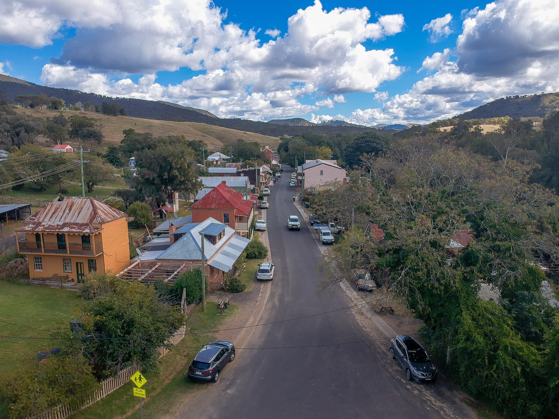
Sofala Common
Town common3.2 km west of Sofala
Sofala Common is a fossicking district on town common. It was gazetted on 2 November 2001 and covers about 38 hectares. The ground sits 3.2 km west of Sofala.
Read the guide
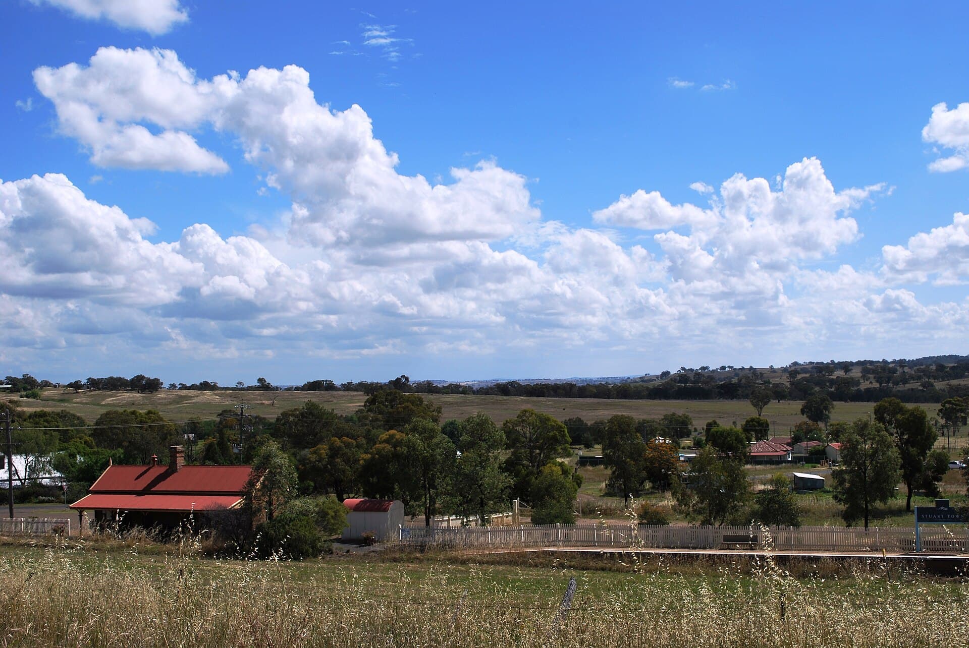
Stuart Town Common
Town commonon the edge of Stuart Town
2 gazetted sections (Nos 38, 39)
Stuart Town Common is a fossicking district on town common. It was gazetted on 2 November 2001 and covers about 3 hectares. The ground sits on the edge of Stuart Town.
Read the guide
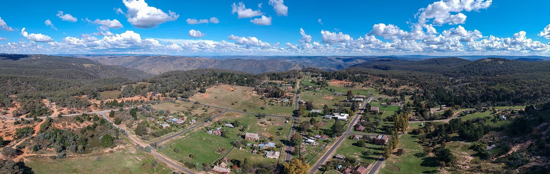
Tambaroora
Mapped district4.1 km north of Hill End
Tambaroora is a fossicking district mapped as a defined patch of ground. It was gazetted on 2 November 2001 and covers about 26 hectares. The ground sits 4.1 km north of Hill End.
Read the guide
New England
Tin, sapphires, and gold from Glen Innes and Inverell across to Nundle and Walcha.
Barraba
Shire-wide district8.5 km north-west of Barraba
Barraba is a fossicking district drawn around a local government area. It was gazetted on 2 February 2001. The mapped area is about 3075 square kilometres. The middle of the district sits 8.5 km north-west of Barraba.
Read the guide
Bendemeer Station
Mapped district5.3 km south-east of Bendemeer
Bendemeer Station is a fossicking district mapped as a defined patch of ground. It was gazetted on 2 November 2001 and covers about 1.4 square kilometres. The ground sits 5.3 km south-east of Bendemeer.
Read the guide
Bora Creek
Mapped district7.7 km south-east of Bingara
Bora Creek is a fossicking district mapped as a defined patch of ground. It was gazetted on 2 November 2001 and covers under 1 hectare. The ground sits 7.7 km south-east of Bingara.
Read the guide
Guyra
Shire-wide district31 km east of Guyra
Guyra is a fossicking district drawn around a local government area. It was gazetted on 13 May 2016. The mapped area is about 4406 square kilometres. The middle of the district sits 31 km east of Guyra.
Read the guide
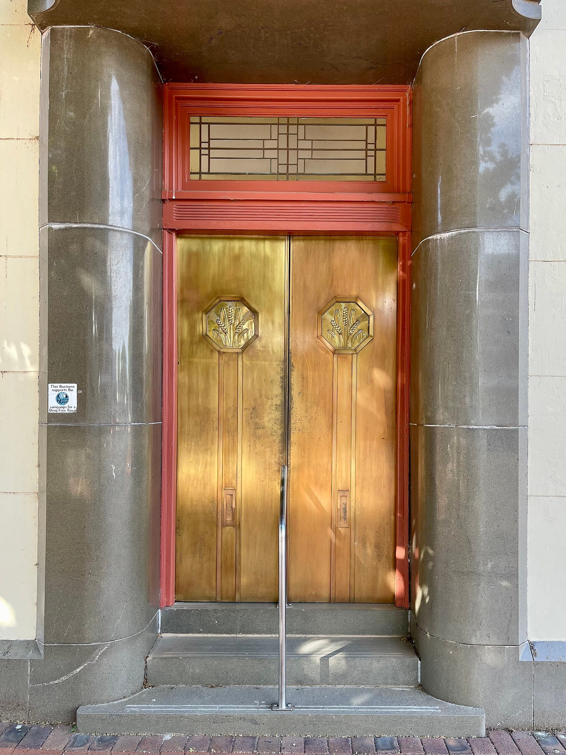
Inverell
Shire-wide district9.3 km west of Ashford
Inverell is a fossicking district drawn around a local government area. It was gazetted on 10 December 1999. The mapped area is about 8619 square kilometres. The middle of the district sits 9.3 km west of Ashford.
Read the guide
Jones Swamp Gully
Mapped district25 km north-west of Guyra
Jones Swamp Gully is a fossicking district mapped as a defined patch of ground. It was gazetted on 2 November 2001 and covers about 3 hectares. The ground sits 25 km north-west of Guyra.
Read the guide
Kentucky Creek
Mapped district2.7 km west of Uralla
Kentucky Creek is a fossicking district mapped as a defined patch of ground. It was gazetted on 2 November 2001 and covers about 9 hectares. The ground sits 2.7 km west of Uralla.
Read the guide
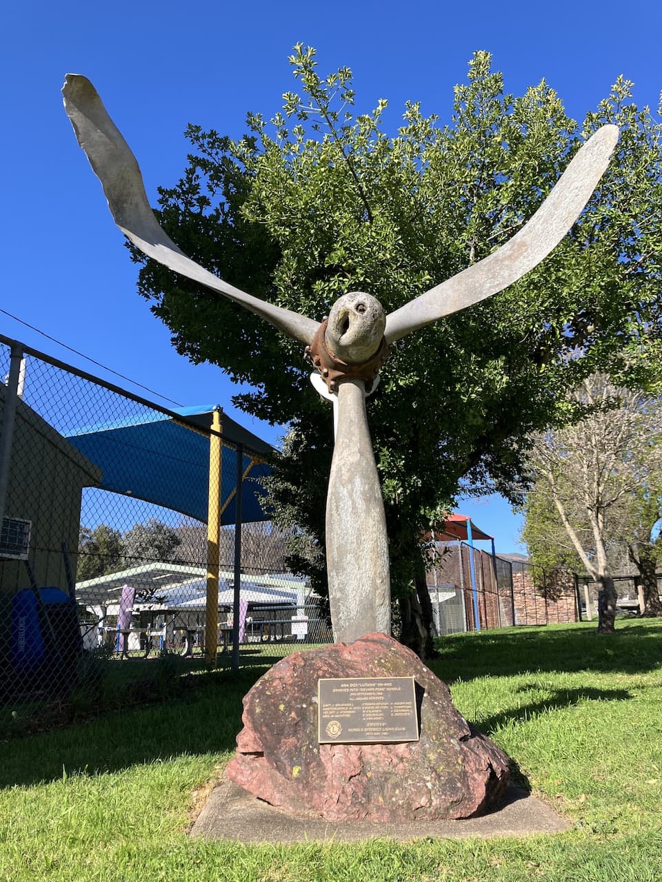
Nundle
Shire-wide district11 km east of Nundle
Nundle is a fossicking district drawn around a local government area. It was gazetted on 10 December 1999. The mapped area is about 1604 square kilometres. The middle of the district sits 11 km east of Nundle.
Read the guide
Ruby Hill
Mapped district18 km south of Bingara
Ruby Hill is a fossicking district mapped as a defined patch of ground. It was gazetted on 2 November 2001 and covers about 15 hectares. The ground sits 18 km south of Bingara.
Read the guide
Sara River
Mapped district39 km north-east of Guyra
Sara River is a fossicking district mapped as a defined patch of ground. It was gazetted on 2 November 2001 and covers about 39 hectares. The ground sits 39 km north-east of Guyra.
Read the guide
Severn
Shire-wide district22 km east of Glen Innes
Severn is a fossicking district drawn around a local government area. It was gazetted on 2 January 1998. The mapped area is about 5652 square kilometres. The middle of the district sits 22 km east of Glen Innes.
Read the guide
Walcha
Shire-wide district26 km south-east of Walcha
Walcha is a fossicking district drawn around a local government area. It was gazetted on 2 September 2016. The mapped area is about 6278 square kilometres. The middle of the district sits 26 km south-east of Walcha.
Read the guide
Whitlow Road
Mapped district5.1 km north-east of Bingara
Whitlow Road is a fossicking district mapped as a defined patch of ground. It was gazetted on 2 November 2001 and covers under 1 hectare. The ground sits 5.1 km north-east of Bingara.
Read the guide
Yarrow River Bridge
Mapped district22 km south-east of Glen Innes
Yarrow River Bridge is a fossicking district mapped as a defined patch of ground. It was gazetted on 2 November 2001 and covers about 5 hectares. The ground sits 22 km south-east of Glen Innes.
Read the guide
North West
Narrabri Shire, Lightning Ridge, and Leard State Forest. Opal claims and black-soil plains sit in the same broad region.
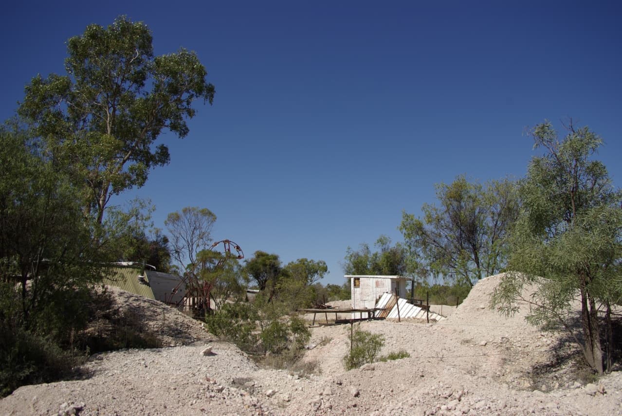
Leard State Forest
State forest12 km north-east of Boggabri
Leard State Forest is a fossicking district mapped over state forest. It was gazetted on 2 November 2001 and covers about 57 hectares. The ground sits 12 km north-east of Boggabri.
Read the guide
Narrabri
Shire-wide district25 km north-west of Narrabri
Narrabri is a fossicking district drawn around a local government area. It was gazetted on 4 March 2016. The mapped area is about 13081 square kilometres. The middle of the district sits 25 km north-west of Narrabri.
Read the guide
Telephone Line
Mapped districton the edge of Lightning Ridge
Telephone Line is a fossicking district mapped as a defined patch of ground. It was gazetted on 2 November 2001 and covers under 1 hectare. The ground sits on the edge of Lightning Ridge.
Read the guide
Southern Tablelands
Braidwood, Crookwell, Tuena, Goulburn, and the Grabben Gullen creek districts.
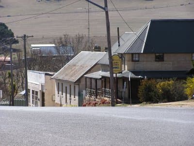
Abercrombie River
Mapped district8.5 km north of Tuena
Abercrombie River is a fossicking district mapped as a defined patch of ground. It was gazetted on 2 November 2001 and covers about 4 hectares. The ground sits 8.5 km north of Tuena.
Read the guide
Goulburn Mulwaree
Shire-wide district16 km south-west of Marulan
Goulburn Mulwaree is a fossicking district drawn around a local government area. It was gazetted on 2 June 2017. The mapped area is about 3232 square kilometres. The middle of the district sits 16 km south-west of Marulan.
Read the guide
Grabben Gullen Creek
Mapped district14 km west of Grabben Gullen
3 gazetted sections (Nos 31, 29, 30)
Grabben Gullen Creek is a fossicking district mapped as a defined patch of ground. It was gazetted on 2 November 2001 and covers under 1 hectare. The ground sits 14 km west of Grabben Gullen.
Read the guide
Tallaganda
Shire-wide district3.2 km north of Braidwood
Tallaganda is a fossicking district drawn around a local government area. It was gazetted on 10 December 1999. The mapped area is about 3333 square kilometres. The middle of the district sits 3.2 km north of Braidwood.
Read the guide
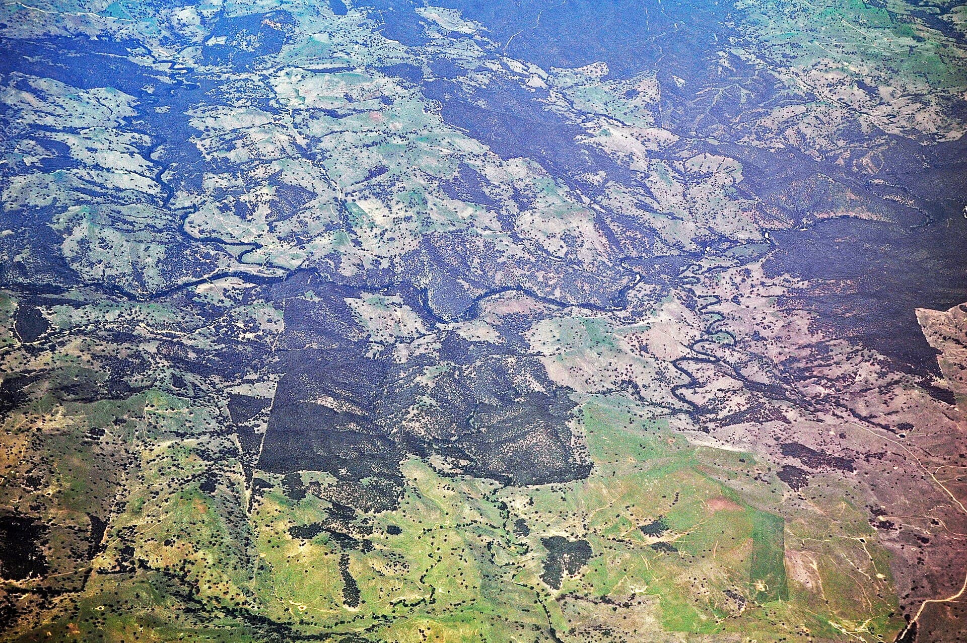
Tuena Creek
Mapped districton the edge of Tuena
Tuena Creek is a fossicking district mapped as a defined patch of ground. It was gazetted on 2 November 2001 and covers under 1 hectare. The ground sits on the edge of Tuena.
Read the guide
Upper Lachlan
Shire-wide district12 km north of Crookwell
Upper Lachlan is a fossicking district drawn around a local government area. It was gazetted on 15 April 2016. The mapped area is about 7149 square kilometres. The middle of the district sits 12 km north of Crookwell.
Read the guide
South West Slopes
Young, Cootamundra, West Wyalong, and the gold towns along the Olympic Highway.
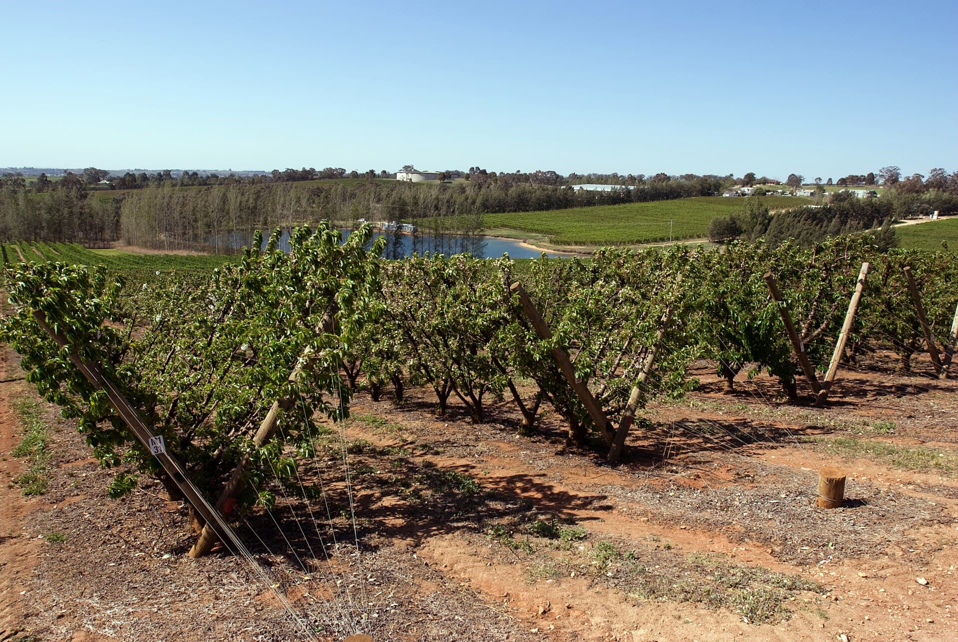
Blackguard Gully
Mapped districton the edge of Young
Blackguard Gully is a fossicking district mapped as a defined patch of ground. It was gazetted on 2 November 2001 and covers under 1 hectare. The ground sits on the edge of Young.
Read the guide
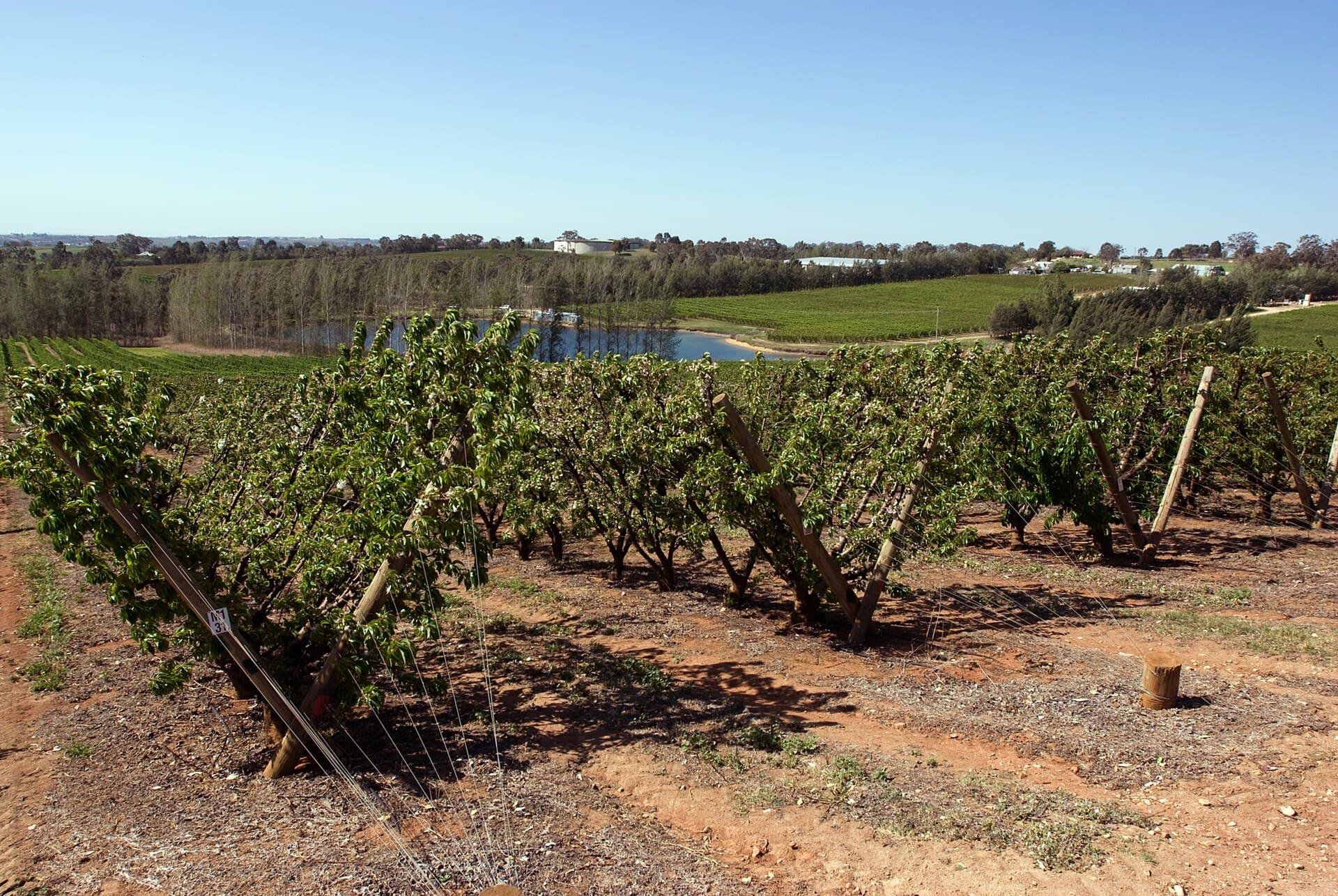
Bland
Shire-wide district16 km east of West Wyalong
Bland is a fossicking district drawn around a local government area. It was gazetted on 28 April 2017. The mapped area is about 8579 square kilometres. The middle of the district sits 16 km east of West Wyalong.
Read the guide
Cootamundra
Shire-wide district9.6 km south of Harden
Cootamundra is a fossicking district drawn around a local government area. It was gazetted on 4 March 2016. The mapped area is about 1874 square kilometres. The middle of the district sits 9.6 km south of Harden.
Read the guide
Narrawa Road
Mapped district31 km north-west of Grabben Gullen
Narrawa Road is a fossicking district mapped as a defined patch of ground. It was gazetted on 2 November 2001 and covers about 11 hectares. The ground sits 31 km north-west of Grabben Gullen.
Read the guide
Riverside
Mapped district2.4 km south-west of Gundagai
Riverside is a fossicking district mapped as a defined patch of ground. It was gazetted on 2 November 2001 and covers about 4 hectares. The ground sits 2.4 km south-west of Gundagai.
Read the guide
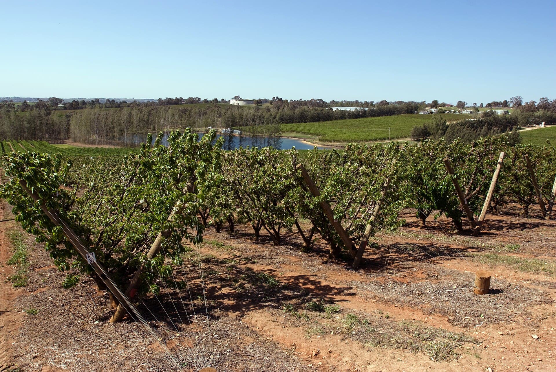
Young
Shire-wide district14 km north-west of Young
Young is a fossicking district drawn around a local government area. It was gazetted on 10 December 1999. The mapped area is about 2700 square kilometres. The middle of the district sits 14 km north-west of Young.
Read the guide
Riverina
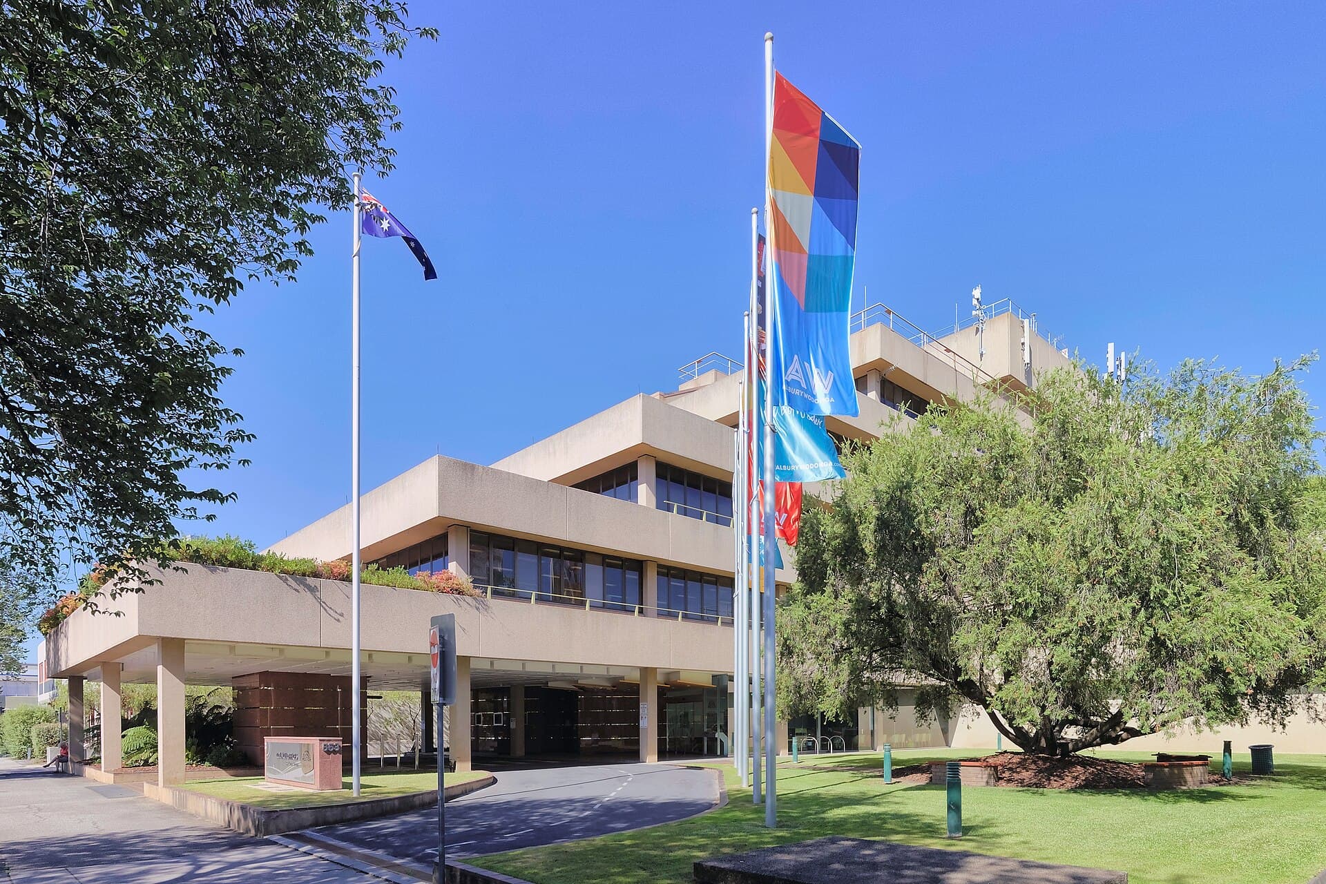
The Bungambrawatha Creek district at Albury.
Snowy and Monaro
Tumut, Adelong, Tumbarumba, and the old Cooma-Monaro shire.
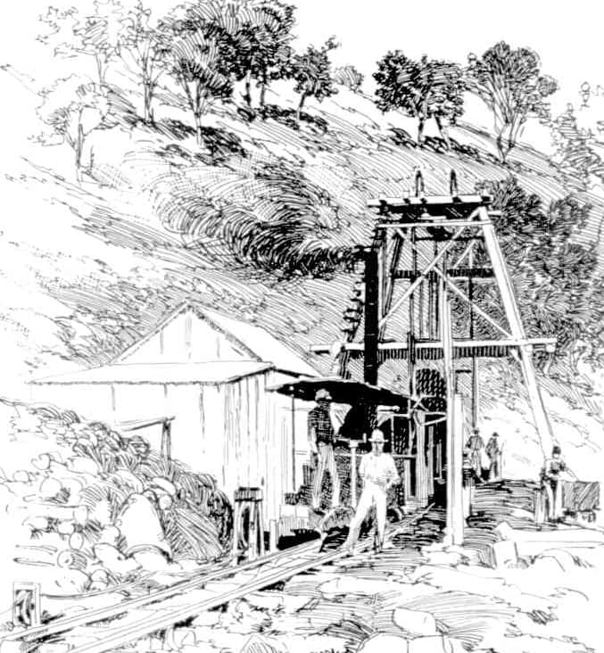
Adelong Creek
Mapped districton the edge of Adelong
Adelong Creek is a fossicking district mapped as a defined patch of ground. It was gazetted on 2 November 2001 and covers about 3 hectares. The ground sits on the edge of Adelong.
Read the guide
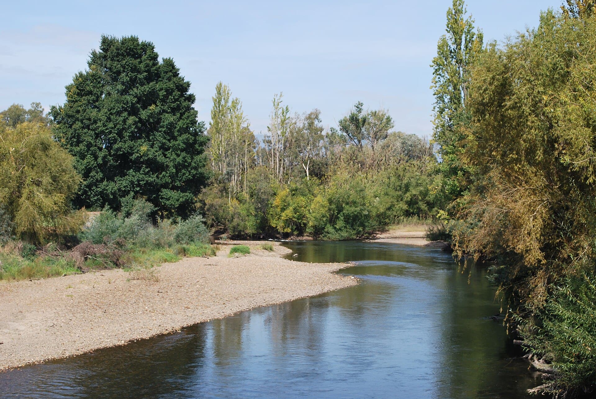
Cooma-Monaro
Shire-wide district19 km north of Cooma
Cooma-Monaro is a fossicking district drawn around a local government area. It was gazetted on 10 December 1999. The mapped area is about 4938 square kilometres. The middle of the district sits 19 km north of Cooma.
Read the guide
Parsons Gully
Mapped district18 km north-east of Tumbarumba
Parsons Gully is a fossicking district mapped as a defined patch of ground. It was gazetted on 2 November 2001 and covers about 13 hectares. The ground sits 18 km north-east of Tumbarumba.
Read the guide
Tumbarumba
Shire-wide district9.0 km north of Khancoban
Tumbarumba is a fossicking district drawn around a local government area. It was gazetted on 10 December 1999. The mapped area is about 4378 square kilometres. The middle of the district sits 9.0 km north of Khancoban.
Read the guide
Tumbarumba Creek
Mapped district11 km north of Tumbarumba
Tumbarumba Creek is a fossicking district mapped as a defined patch of ground. It was gazetted on 2 November 2001 and covers about 10 hectares. The ground sits 11 km north of Tumbarumba.
Read the guide
Tumut
Shire-wide district24 km south-east of Batlow
Tumut is a fossicking district drawn around a local government area. It was gazetted on 28 April 2017. The mapped area is about 4567 square kilometres. The middle of the district sits 24 km south-east of Batlow.
Read the guide
Waterfall Creek
Mapped district17 km east of Tumut
2 gazetted sections (Nos 47, 48)
Waterfall Creek is a fossicking district mapped as a defined patch of ground. It was gazetted on 2 November 2001 and covers about 4 hectares. The ground sits 17 km east of Tumut.
Read the guide
South Coast
Eurobodalla, Bega Valley, Shoalhaven, and the small coastal creek and forest districts.
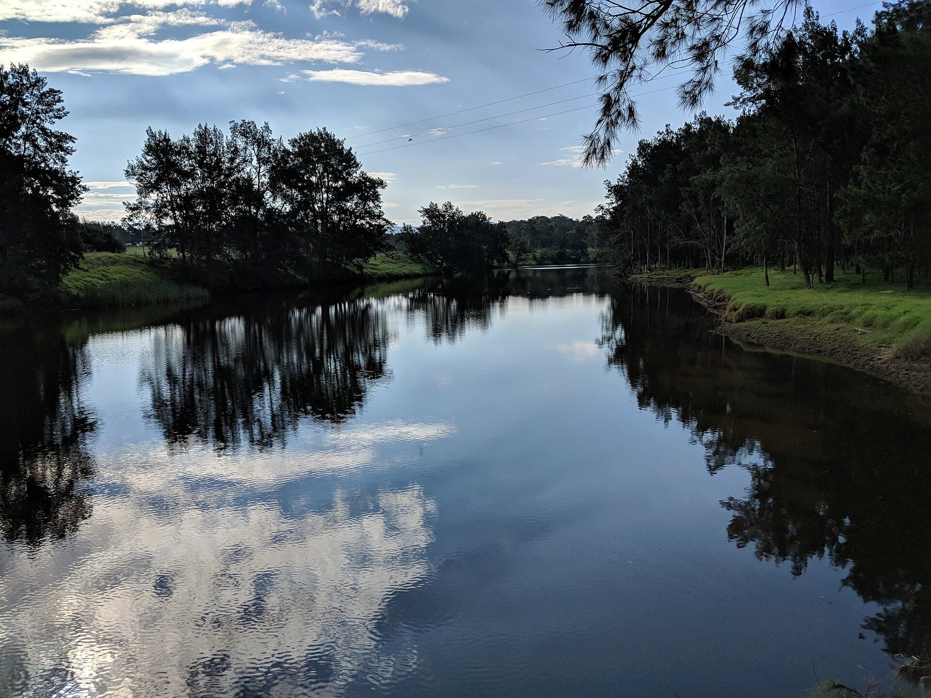
Bega Valley
Shire-wide district6.4 km north-east of Merimbula
Bega Valley is a fossicking district drawn around a local government area. It was gazetted on 28 April 2017. The mapped area is about 6296 square kilometres. The middle of the district sits 6.4 km north-east of Merimbula.
Read the guide
Bodalla State Forest
State forest7.3 km south-east of Bodalla
Bodalla State Forest is a fossicking district mapped over state forest. It was gazetted on 2 November 2001 and covers about 15 hectares. The ground sits 7.3 km south-east of Bodalla.
Read the guide
Eurobodalla
Shire-wide district2.5 km north-west of Moruya
Eurobodalla is a fossicking district drawn around a local government area. It was gazetted on 28 April 2017. The mapped area is about 3439 square kilometres. The middle of the district sits 2.5 km north-west of Moruya.
Read the guide
Gibbergunyah Creek
Mapped districton the edge of Mittagong
Gibbergunyah Creek is a fossicking district mapped as a defined patch of ground. It was gazetted on 2 November 2001 and covers under 1 hectare. The ground sits on the edge of Mittagong.
Read the guide
Shoalhaven
Shire-wide district8.4 km north of Milton
Shoalhaven is a fossicking district drawn around a local government area. It was gazetted on 1 December 2017. The mapped area is about 4687 square kilometres. The middle of the district sits 8.4 km north of Milton.
Read the guide
Tomaga River
Mapped district4.9 km south-east of Mogo
Tomaga River is a fossicking district mapped as a defined patch of ground. It was gazetted on 2 November 2001 and covers under 1 hectare. The ground sits 4.9 km south-east of Mogo.
Read the guide
Western Plains
Poraka Quarry, west of Hermidale, on the road toward Cobar.
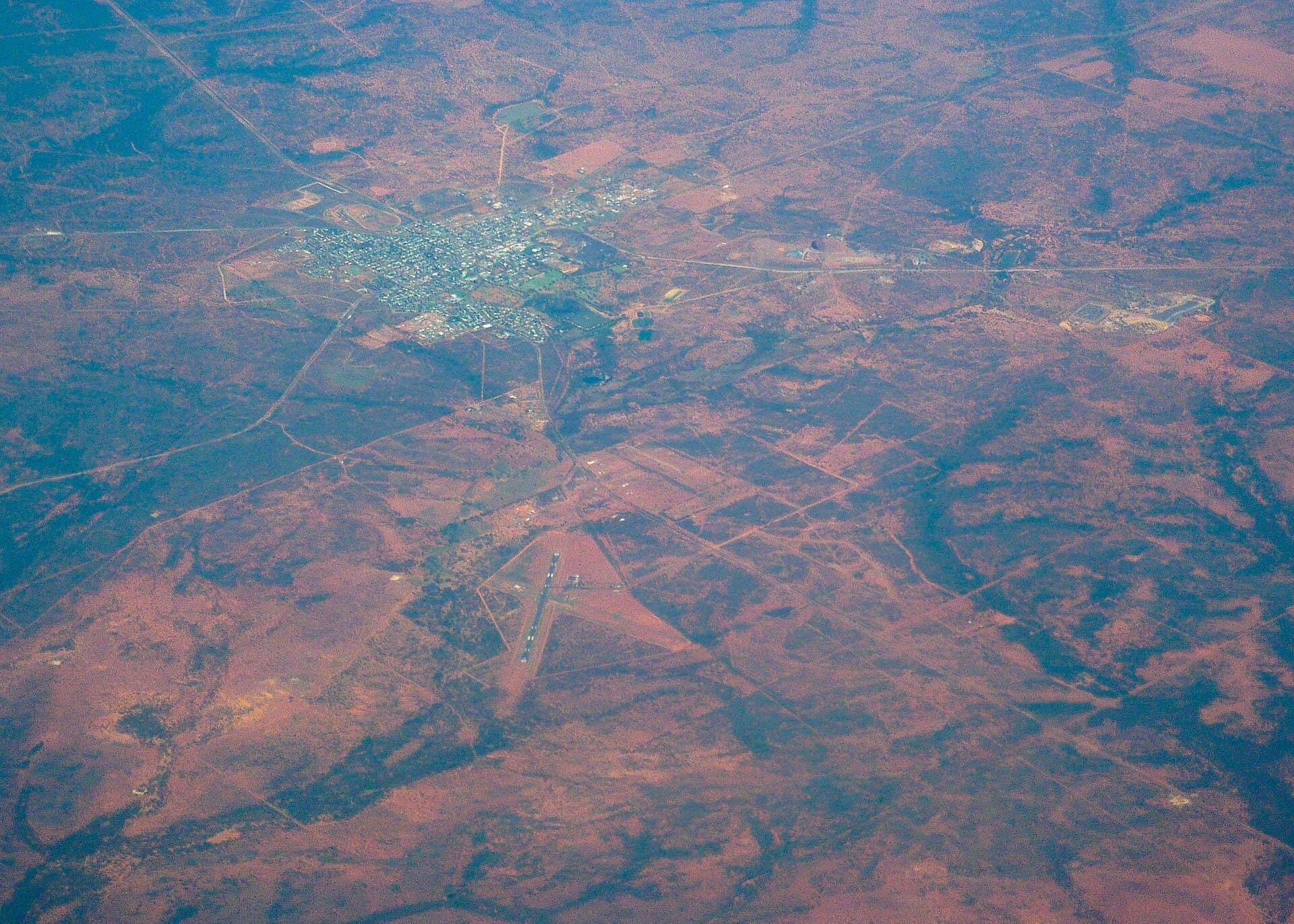
Far West
Central Darling, including White Cliffs, plus two small districts in Barrier country near Broken Hill.
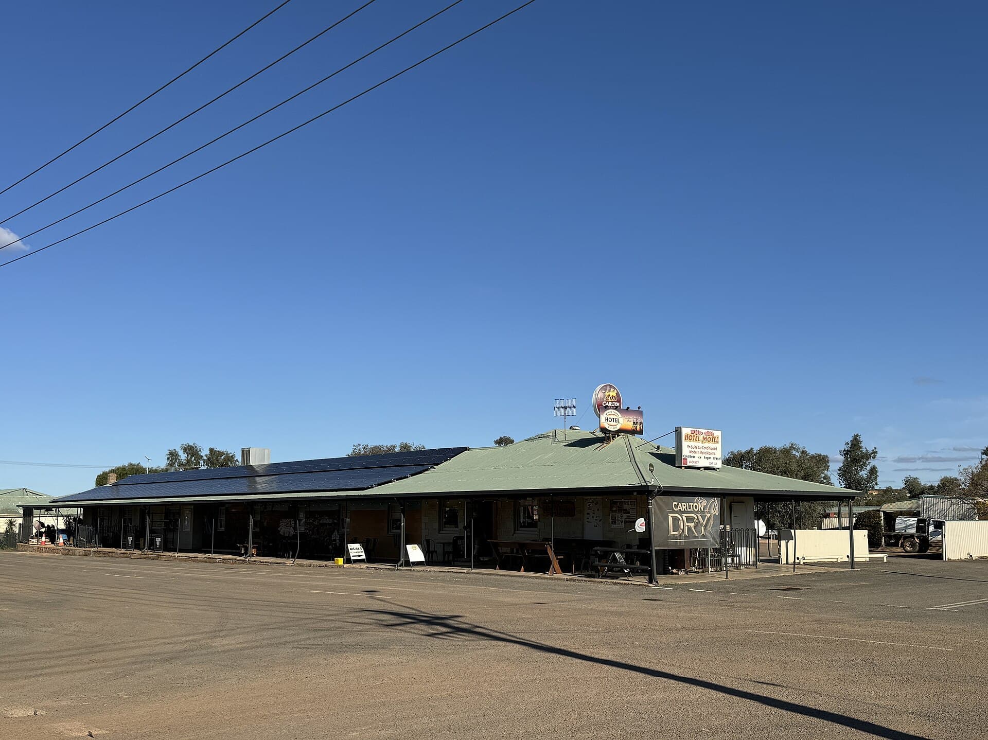
Central Darling
Shire-wide district46 km south of Wilcannia
Central Darling is a fossicking district drawn around a local government area. It was gazetted on 1 December 2017. The mapped area is about 53598 square kilometres. The middle of the district sits 46 km south of Wilcannia.
Read the guide
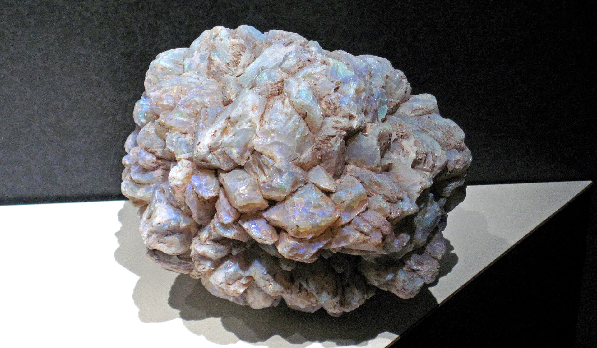
McDougalls Well
Mapped district83 km north of Broken Hill
McDougalls Well is a fossicking district mapped as a defined patch of ground. It was gazetted on 2 November 2001 and covers about 1.1 square kilometres. The ground sits 83 km north of Broken Hill.
Read the guide
Montanna
Mapped district36 km south-west of Broken Hill
Montanna is a fossicking district mapped as a defined patch of ground. It was gazetted on 2 November 2001 and covers about 16 hectares. The ground sits 36 km south-west of Broken Hill.
Read the guide
State forests
Some of the best gold country in New South Wales sits in State forest, and that runs on a different scheme to the gazetted districts. Fossicking in a State forest needs a Forestry Corporation permit: $27.50 for 12 months, valid state-wide, applied for through Service NSW. It covers small-scale recreational, tourist or educational fossicking. Fossicking in a forestry area without a permit can draw a court penalty of up to $2,200.
42 forests known for gold and gems, grouped by region. Each map shows the forest's real boundary drawn from the NSW state forest estate. The gold outline is the forest edge, not the fossicking area. Some compartments inside it are closed for logging, safety or the environment, so check the Forestry Corporation map before you go.
Central West & Tablelands
The gold country around Bathurst, Oberon, Lithgow and Orange, where the New South Wales rushes began.
Sunny Corner State Forest
Between Lithgow and Bathurst
An old silver, lead and gold field east of Bathurst, and one of the best-known detecting forests in the Central West.
View forest
Vulcan State Forest
Black Springs, near Oberon
Gold-bearing granite country south of Oberon, with the well-known Sapphire Bend on the Vulcan side.
View forest
Hampton State Forest
Hampton, near Oberon
Forest on the Duckmaloi and Jenolan road side of the tablelands, worked for gold in the old alluvial runs.
View forest
Ben Bullen State Forest
Cullen Bullen, near Lithgow
Sandstone and gully country north of Lithgow on the edge of the old Turon and Capertee gold runs.
View forest
Vittoria State Forest
West of Bathurst
Forest west of Bathurst on the Lewis Ponds and Ophir gold trend that started the New South Wales rushes.
View forest
Gurnang State Forest
Oberon
Pine and native forest south of Oberon in the headwaters of the Abercrombie gold country.
View forest
Jenolan State Forest
Oberon and Jenolan
Tableland forest above the Jenolan and Kowmung, in gold country between Oberon and the Blue Mountains.
View forest
Mount David State Forest
Between Bathurst and Oberon
Ridge forest between Bathurst and Oberon, in the Campbells River and Isabella gold catchment.
View forest
Kinross State Forest
Near Orange, by Ophir
Forest near Ophir and Summer Hill Creek, where payable gold was first proved in the colony.
View forest
Canobolas State Forest
South-west of Orange
Mount Canobolas forest south-west of Orange, near the Cadia and Lewis Ponds mineral belt.
View forest
New England
Tin and gemstone forests north of Tenterfield and across the tableland near Guyra.
Billilimbra State Forest
Near Guyra
New England tableland forest near Guyra, in sapphire and gold country on the Ben Lomond run.
View forest
Girard State Forest
North-east of Tenterfield
Granite forest in the old Tenterfield tin field, with topaz and quartz in the creeks.
View forest
Bookookoorara State Forest
North of Tenterfield
Forest near Boonoo Boonoo north of Tenterfield, worked for alluvial tin and some gold.
View forest
Boorook State Forest
Near Deepwater and Drake
New England tin country near Deepwater and Drake, with tin and some gold in the granite creeks.
View forest
Donnybrook State Forest
Between Emmaville and Torrington
In the rich Emmaville to Torrington gem belt, known for tin, topaz and a long list of minerals.
View forest
Boonoo State Forest
North of Tenterfield
High granite country by the Boonoo Boonoo River north of Tenterfield, worked for alluvial tin and gold.
View forest
South West Slopes & Tumbarumba
The Adelong, Tumut and Tumbarumba gold runs on the western fall of the ranges.
Bondo State Forest
Between Tumut and Adelong
Pine forest between Tumut and Adelong, on the edge of the Adelong and Gilmore gold runs.
View forest
Tumut State Forest
Tumut
Forest around Tumut, the gateway to the Adelong, Batlow and Gilmore gold country.
View forest
Bago State Forest
Near Tumbarumba
High forest above Tumbarumba, in the granite gold country of the upper Murray.
View forest
Maragle State Forest
Near Tumbarumba
Steep forest south-east of Tumbarumba, in old alluvial and reef gold catchments.
View forest
Carabost State Forest
South of Tumbarumba
Forest on the Carabost goldfield between Tumbarumba and Wagga Wagga.
View forest
Mannus State Forest
Near Tumbarumba
Forest west of Tumbarumba near the Mannus Creek gold workings.
View forest
Green Hills State Forest
Between Batlow and Tumbarumba
Gold forest between Batlow and Tumbarumba on the high south-west slopes.
View forest
Bungongo State Forest
Near Adelong
Forest near Adelong, on the gold country that made the Adelong field famous.
View forest
Monaro & Far South East
Old gold country from Cooma down to Bombala, Eden and across to Braidwood.
Badja State Forest
Near Cooma and Numeralla
Monaro forest east of Cooma, near the Badja and Kybeyan gold and the Numeralla River.
View forest
Bondi State Forest
Near Bombala
Forest in the far south-east near Bombala and Cathcart, on the Bondi and Craigie gold country.
View forest
Tallaganda State Forest
Between Braidwood and Captains Flat
Long escarpment forest between Braidwood and Captains Flat, near the Majors Creek and Araluen gold.
View forest
Yambulla State Forest
Behind Eden
Remote forest behind Eden, near the old Yambulla and Nungatta goldfields.
View forest
Nungatta State Forest
Far south-east, near Eden
Far south-east border forest near the Yambulla and Nungatta gold workings.
View forest
Nalbaugh State Forest
Near Bombala
High, remote forest near Bombala, close to the old Craigie and border goldfields.
View forest
Tantawangalo State Forest
Above Candelo and Bega
In the ranges above Candelo and Bega, near the Wolumla and Candelo gold workings.
View forest
South Coast
The Mogo, Nerrigundah and Montreal gold, worked in creeks and almost on the beach.
Mogo State Forest
Mogo, near Batemans Bay
Coastal forest at Mogo, the heart of the Mogo goldfield south of Batemans Bay.
View forest
Bodalla State Forest
Bodalla
Forest behind Bodalla on the Tuross, in old south coast alluvial gold country.
View forest
Boyne State Forest
Near Nerrigundah and Bodalla
Forest around Gulph Creek and Nerrigundah, one of the richest of the south coast gold rushes.
View forest
Bermagui State Forest
Bermagui, by Montreal
Forest by Bermagui near the Montreal goldfield, famous for gold worked almost on the beach.
View forest
Currowan State Forest
Inland from Nelligen
Inland from Nelligen on the Currowan Creek gold country below the Clyde ranges.
View forest
Yerriyong State Forest
South-west of Nowra
Forest south-west of Nowra near the old Yalwal and Parma goldfields.
View forest
Benandarah State Forest
North of Batemans Bay
Coastal forest north of Batemans Bay on the northern edge of the Mogo gold country.
View forest
Buckenbowra State Forest
Inland from Batemans Bay
On the Buckenbowra River between the Mogo and Araluen goldfields.
View forest
Northern Tablelands & Upper Hunter
The Nundle, Hanging Rock and Stewarts Brook gold in the Peel and upper Hunter country.
Nundle State Forest
Nundle, near Tamworth
Forest above Nundle in the Peel River gold country south-east of Tamworth.
View forest
Hanging Rock State Forest
Hanging Rock, near Nundle
High forest at Hanging Rock above Nundle, long worked for alluvial and reef gold.
View forest
Stewarts Brook State Forest
Near Moonan Flat, Upper Hunter
Upper Hunter forest above Moonan Flat on the old Stewarts Brook goldfield.
View forest
Around Hill End, fossick at the Tambaroora Fossicking Area and Golden Gully. The Hill End townsite itself is an NPWS historic site with its own rules. This is a wide list, not every open forest. The Forestry Corporation fossicking map is the authority on which forests and compartments are open, so check it before you go.
Forest boundaries: NSW Dedicated State Forests estate, Forestry Corporation of NSW and Spatial Services. Satellite maps © Mapbox, © Maxar, © OpenStreetMap.
Rules, in our words
The limits below are the ones published for fossicking under the Mining Act 1992 and the Mining Regulation 2016. Dig Here has restated them. The statute and the regulator's guide remain the authority.
Tools
A pan, sieve, pick, shovel, hammer, non-powered river sluice, and a metal detector that leaves the surface in place. Powered pumps, dredges, trommels, highbankers on a pump, jackhammers, and machinery are out. So are explosives.
How much ground
One person may disturb up to one cubic metre of soil or rock in any 48 hours, then put it back. Do not damage or remove bushrock. Leave the site clean. On native title land the rule is tighter: hand-held tools only, no excavation and no clearing, and only with the registered native title body's consent.
What you can take home
Gold
50 grams in any 48 hours, plus up to five nuggets of 10 grams or more
Gemstones
100 grams in any 48 hours
Gold or gem-bearing material
10 kilograms in any 48 hours
Other minerals
5 kilograms in any 48 hours
Where the extra permission sits
State forest
A Forestry Corporation fossicking permit, $27.50 for 12 months and valid state-wide, applied for through Service NSW. Carry it. It covers small-scale recreational, tourist or educational fossicking, and some compartments are closed. Fossicking in a forestry area without a permit can draw a court penalty of up to $2,200.
Private land
Ask the landholder. The Mining Act gives a landholder who grants consent a protection from liability for injury to the fossicker, which is a reason to get a clear yes before you cross a fence.
Crown land
Entry to fossick is limited to certain unleased and unlicensed Crown land that is not under a trustee or a public authority. Leased, licensed, or managed Crown land needs permission. Crown Lands is the office to ask.
Parks
Stay out of national parks. The named exceptions are Grove Creek in Abercrombie Karst Conservation Reserve, Torrington State Conservation Area, and Nuggetty State Conservation Area away from the banks and flats of Tuena Creek.
Titles
A mining lease, mineral claim, or opal prospecting licence needs the holder's consent, including inside a fossicking district. Check MinView, or open the district on the Dig Here map, because a printed line goes stale.
The regulator publishes on-the-spot fines of $750 for a person and $1,500 for a company, and a court can go higher, up to $5,500, for fossicking offences in the guide. Read the permits and rules page before a trip, then confirm anything that could have changed.
Country sense
The districts run from alpine roads to the Darling. The hazard changes with the map.
Old shafts
Hill End, Sofala, Ophir, and plenty of smaller reefs are full of unmarked shafts. Do not walk up to a hole, and do not climb in. Ground around a collapsed working can drop under a boot.
Snakes
Eastern browns, red-bellied blacks, and tiger snakes live across this country. Boots, long trousers, and a look before you put a hand under timber. If bitten, bandage the limb firmly, stay still, and get help.
Cold nights
New England, the southern tablelands, and the Monaro lose heat as soon as the sun drops. The Snowy roads close in winter. Carry a night plan that does not depend on a creek flat.
Heat and distance
Central Darling, White Cliffs, and the western plains are hot and a long way from a tap. Take more water than the day looks like it needs, and tell someone the track you are on.
Ticks and phone
Ticks are common in the eastern ranges. Check skin at the end of the day. Mobile reception drops out in gullies and west of the tablelands. Download the map before you leave town.
Fibrous rock
A few districts, including the Barraba country around Woodsreef, record asbestos. Leave fibrous rock where it is. Cover it again if you have opened it, and do not bag it.
Questions people ask
Do I need a fossicking licence in New South Wales?
No. New South Wales does not issue a general fossicking licence. Fossicking is allowed under the Mining Act 1992 where you already have the right to be on the land. The paid permit most visitors meet is the Forestry Corporation permit for State forest, which is $27.50 for 12 months and valid state-wide, applied for through Service NSW.
What is a fossicking district?
A fossicking district is a gazetted line. Inside it, you do not need the exploration licence holder's consent. The line is not an invitation onto every paddock, and it is not the only ground in the state where fossicking can be lawful. Landholder permission, mining leases, mineral claims, opal prospecting licences, native title, national parks, and state forests still have their own rules.
Can I use a metal detector?
Yes, where the detector does not disturb the surface. Hand tools are allowed: a pan, sieve, pick, shovel, hammer, and a non-powered river sluice. Explosives and power-operated equipment for digging or processing are not.
How much gold can I keep?
In any 48 hours, one person may keep 50 grams of gold, plus up to five nuggets of 10 grams or more, 100 grams of gemstones, 10 kilograms of material that bears gold or gemstones, and 5 kilograms of other minerals. Publicly owned minerals that you separate while fossicking lawfully become yours, and no royalty is charged on them.
Can I fossick in a national park?
National parks are closed to fossicking. The published exceptions are the Grove Creek part of Abercrombie Karst Conservation Reserve, Torrington State Conservation Area, and Nuggetty State Conservation Area except the banks and alluvial flats of Tuena Creek.
Do I still need permission inside a fossicking district?
Yes. Private land needs the landholder's consent. A mining lease, mineral claim, or opal prospecting licence needs that holder's consent. Native title land needs the registered native title body's consent, and only hand-held tools are allowed there, with no digging or clearing. The district removes the exploration licence consent only.
See the districts on the Dig Here map
The guide explains the line. The map shows it against the titles that are current today.
Open mapBoundaries and mineral counts: Geological Survey of NSW, Department of Primary Industries and Regional Development, shared CC BY through SEED. The writing is Dig Here's, and it is not a copy of the regulator's guide. Check NSW Resources and MinView before you travel. State forest permits go through Service NSW.