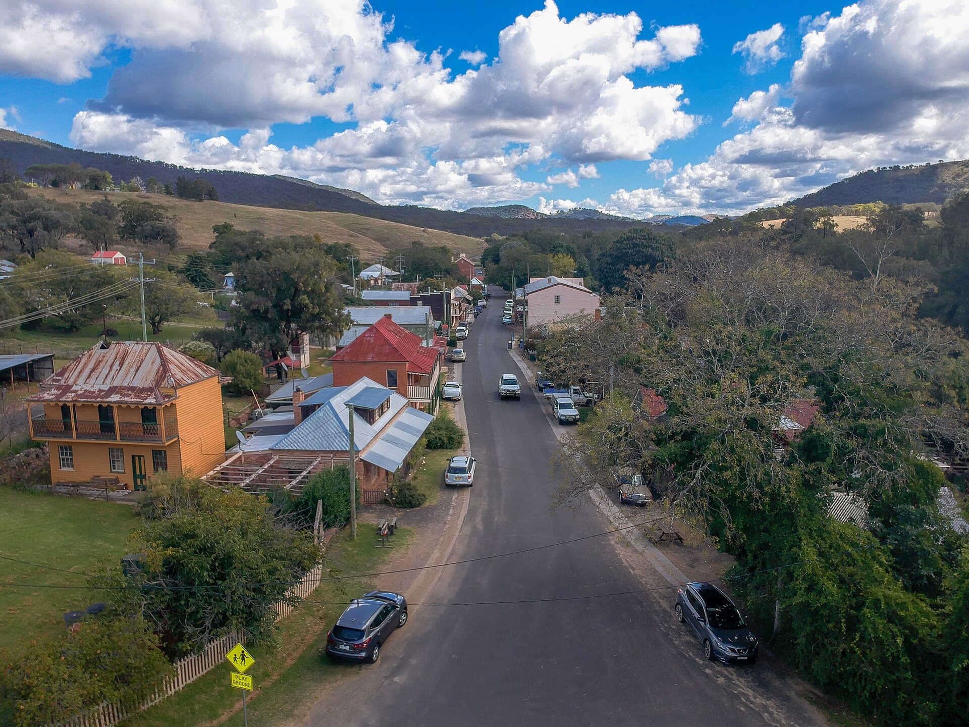
Sofala Common
Central West. 3.2 km west of Sofala.
Gazetted
2 November 2001
Mapped size
38 hectares
Nearest town
Sofala
Photo: Maksym Kozlenko (CC BY-SA 4.0). Wikimedia Commons.
Location
Gold marker: the middle of Sofala Common. Dark marker: Sofala.
Fossicking district
The gold line is the gazetted fossicking district. Inside it, you do not need an exploration licence holder's consent. The line is not landholder permission, and it is not the only place fossicking can be lawful in New South Wales.
Line simplified from Geological Survey of NSW fossicking districts, CC BY
History
Sofala Common is gazetted fossicking district number 12. It was gazetted on 2 November 2001 and covers about 38 hectares. The ground sits 3.2 km west of Sofala.
It carries forward former fossicking area 8, one of the old fossicking areas remade as districts in November 2001.
Sofala is the village of the Turon. After Ophir, the Turon River was the next great rush of 1851, and Sofala grew on the bank as a mining camp that never quite disappeared. The district follows the Turon for about 1.4 km, starting at Wallaby Rocks Bridge, where Hill End Road crosses the river.
The mapped ground itself has no gold, gem, or metal point inside it in the state inventory. Within 3 kilometres of its centre, the same inventory records Gold (3). On a small creek district, the old working is often beside the line rather than on it.
What you can find
The counts below sit within 3 kilometres of the mapped line. They are not a guarantee the mineral is inside the district itself.
Within 3 kilometres of this district, gold is the main mineral the survey records. Work gravel with a pan or a detector, keep holes small, and put the ground back. Gold on a mining lease still needs the lease holder's consent.
Anything you keep has to fit the state take-home limits: 50 grams of gold in any 48 hours, up to five nuggets of 10 grams or more, 100 grams of gemstones, 10 kilograms of gold or gem-bearing material, and 5 kilograms of other minerals. Publicly owned minerals found while fossicking lawfully become yours. No royalty is charged on them.
These names come from survey points within 3 kilometres of the mapped centre, not from inside the line itself.
Getting there
Sofala is on the Turon, north of Bathurst, by the road toward Hill End. This district is 3.2 km west of Sofala.
The western end of the district sits right by the Wallaby Rocks campground, beside Wallaby Rocks Bridge on Hill End Road.
A private mining lease, ML1173, covers the ground by the campground. On that part you need the leaseholder's consent before you dig.
The rest of the district is Crown land managed by Bathurst Regional Council. Get the council's permission before you fossick there.
As with anywhere, check you're allowed onto the ground before you start. Open the district on the Dig Here map before you drive. It shows this boundary against current titles and land tenure, so you can see which permission each part needs.
Camping
Wallaby Rocks campground is a free Bathurst Regional Council campground right at the western end of the district, beside Wallaby Rocks Bridge.
It has no facilities, so bring water and take your rubbish home. Check the council's current rules for the campground before you go.
Important notes
- !Inside a fossicking district you still need the landholder's permission on private land. You do not need the exploration licence holder's consent. A mining lease, mineral claim, or opal prospecting licence still needs that holder's consent.
- !Hand tools only. A pan, sieve, pick, shovel, non-powered sluice, and metal detector fit the rules. Pumps, dredges, powered trommels, and machinery do not.
- !Disturb no more than one cubic metre of ground in any 48 hours, put the soil back, and take your rubbish with you.
- !On native title land or water you need the registered native title body's consent. The only tools allowed there are hand-held, and digging or clearing is not permitted.
- !Mineral counts on this page are locations from the Geological Survey of NSW. They are not grades.
Nearby districts
Open Sofala Common on the map
Titles change. Check this boundary against current leases before you dig.
Open mapDistrict boundaries and mineral counts are from the Geological Survey of NSW, CC BY. The words on this page are Dig Here's. Read the current rules on the NSW Resources fossicking page and check titles in MinView.