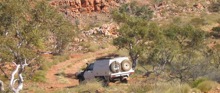
Central Harts Range
FA1 - Harts Range - 215 km north-east from Alice Springs
Location
Harts Range
Nearest Town
Alice Springs
Distance
215 km north-east
Photo: NT Government Department of Industry, Tourism and Trade
Location
Central Harts Range is in the Alice Springs region
Fossicking Area Boundary
Official declared boundary from the NT Government. You may only fossick within this area.
Boundary coordinates from NT Government gazettal
History
The Central Harts Range fossicking area lies due south of the Atitjere Community, and encompasses the abandoned mica mines of Mount Palmer.
Between the 1890s and the close of the Australian mica mining industry in 1960, almost all the nation's mica came from the Northern Territory. Most was extracted from Harts Range.
The mine sites, besides providing the fossicker with mullock heaps to explore, are part of the Territory's heritage. The foundations of many stone-walled houses and bough structures (which once housed a community of up to one hundred men) remain, along with some mining equipment.
Scenically, the mountains have a grandeur and variation of colour as well as many strangely-shaped rock outcrops. Mount Palmer, elevation 1,136 m, caps the mountains and provides views of the whole range.
What You Can Find
Spotted Tiger Mine, Kismet Mine, Rex Mine, and Mount Palmer environs all have unique discoveries.
Beware of the many old mine shafts, some of which are unstable and dangerous. Two are covered, many have collapsed.
Getting There
Access from the Plenty Highway. The fossicking area lies within Mt Riddock Station. Care should be taken not to interfere with the movement of cattle or other station activities.
Camping
Bush camping is allowed, however there are no facilities on site.
The Spotted Tiger campground situated at the entrance to the Mount Palmer area offers camping facilities.
Fuel, groceries and general supplies are available at the nearby Atitjere Community store.
Campers must provide their own water. Bore water is available at the Atitjere Community store.
Campers must take their rubbish with them when they leave.
View Central Harts Range on the Map
See the exact boundary, satellite imagery, and surrounding terrain.
Open MapSource: NT Government DITT, CC BY 4.0