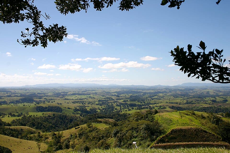
Bar-Barrum
Atherton Tablelands - 25 km north-west from Mount Garnet
Location
Atherton Tablelands
Nearest Town
Mount Garnet
Distance
25 km north-west
Photo: Mike Lehmann / Wikimedia Commons (CC BY-SA 3.0)
Location
Bar-Barrum is near Mount Garnet
Fossicking Area Boundary
Official declared boundary from the Queensland Government. You can fossick in the green, except where a mining lease or application is marked. Tap the map for details.
Boundary and mining tenure data from Queensland Government spatial services. Tap a lease for details.
History
Bar-Barrum is a general permission area near Mount Garnet on the Atherton Tablelands. The area is named after the Barbaram (Bar-Barrum) Aboriginal people. The granite and volcanic country here produces a range of gem minerals.
What You Can Find
Topaz, aquamarine, and quartz crystals from weathered granite. Hard rock and alluvial fossicking methods apply.
Getting There
From Mount Garnet, head north-west via local roads. High-clearance vehicle recommended.
Camping
Bush camping. No facilities. Services in Mount Garnet.
Source: Queensland Government