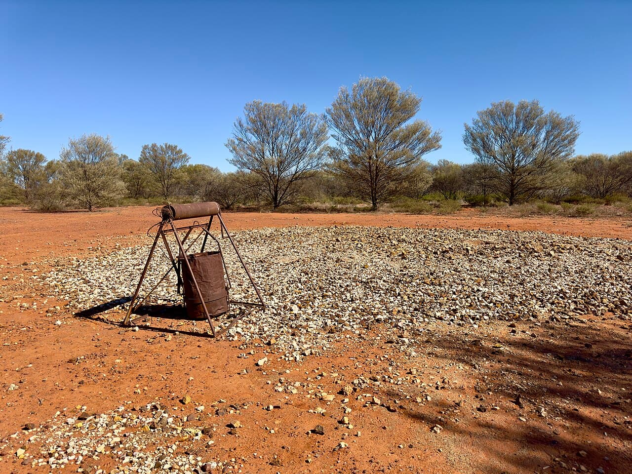
Fossicking in Queensland
From the sapphire gemfields of Central Queensland to the boulder opal of the west and the agate and topaz of the tropical north. 44 declared areas across the Sunshine State.
Licence Cost
$10.40
Total Areas
44
Regions
5
Licence Duration
1 month+
The fossicking state
Queensland has more variety of fossicking than any other Australian state. The Central Queensland Gemfields produce sapphires that rival any in the world. The western opal belt yields unique boulder opal and the legendary Yowah nut. The Clermont district has gold that sparked one of Queensland's earliest rushes. And the tropical north hides agate, topaz, moonstone, and aquamarine in volcanic and granitic country.
Queensland has three types of fossicking areas: Designated Fossicking Lands (DFL), Fossicking Areas (FA), and General Permission Areas (GPA). A fossicking licence is required for all of them. Licences start from $10.40 and can be purchased online from the Queensland Government.
Types of Fossicking Areas
Designated Fossicking Land
Crown land specifically set aside for fossicking. The most accessible areas with the clearest rights.
Fossicking Area
Declared areas where fossicking is permitted under licence. May overlap with other land uses.
General Permission Area
Areas where general permission to fossick has been granted. Often on pastoral or state forest land.
Central Queensland Gemfields
The sapphire capital of Australia. Dozens of fossicking sites across the Anakie-Sapphire-Rubyvale district.
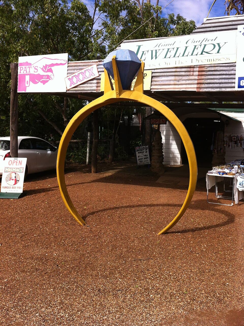
Sapphire
DFLCentral Queensland Gemfields - 45 km west from Emerald
Sapphire is the heart of the Central Queensland Gemfields, the largest sapphire-producing area in the Southern Hemisphere. Sapphires were first discovered here in the late 1800s, and the fields have been worked continuously since the early 1900s.
Read full guide
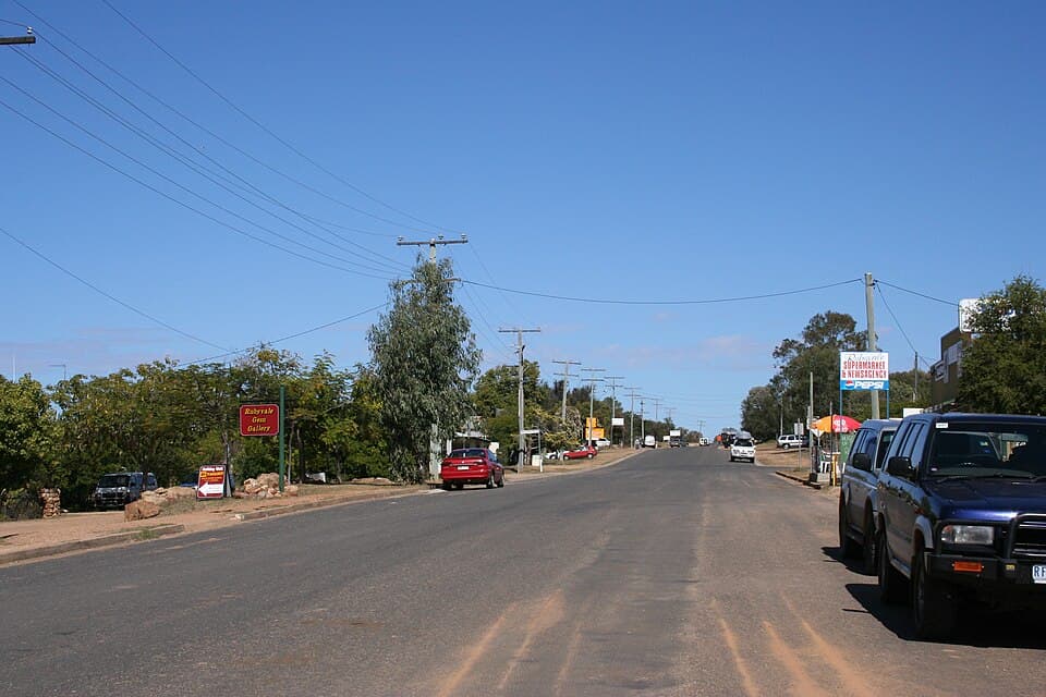
Rubyvale
DFLCentral Queensland Gemfields - 48 km west from Emerald
Rubyvale is one of the original gemfield towns, named for the red stones (later identified as garnets and rubies) found alongside sapphires in the wash. The town sits at the northern end of the gemfields and has been a centre for sapphire mining since the early 1900s.
Read full guide
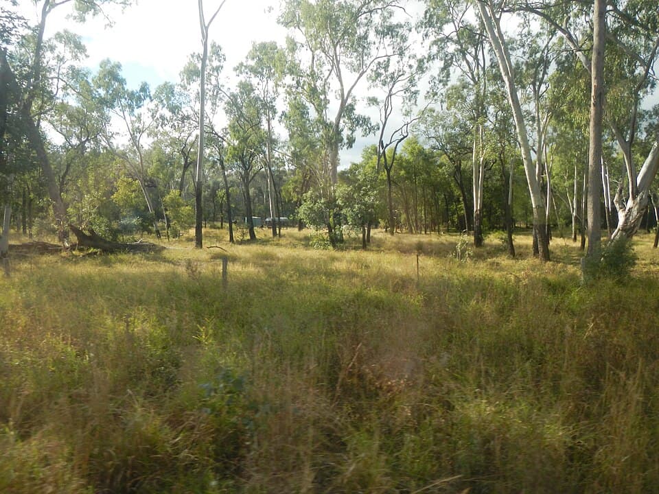
Willows
DFLCentral Queensland Gemfields - 70 km south-west from Emerald
The Willows is a large designated fossicking land area south of the main gemfields. It covers a wide expanse of open country and is popular with experienced fossickers who prefer to work away from the more crowded areas around Sapphire and Rubyvale.
Read full guide
Divide
DFLCentral Queensland Gemfields - 50 km west from Emerald
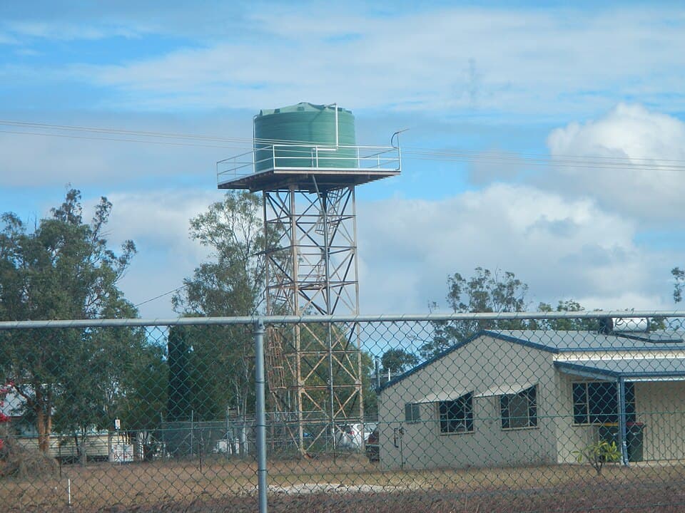
The Divide sits between the Rubyvale and Sapphire fossicking areas in the Central Queensland Gemfields. It takes its name from the watershed divide between creek systems draining the gemfield.
Read full guide
Scrub Lead
DFLCentral Queensland Gemfields - 44 km west from Emerald
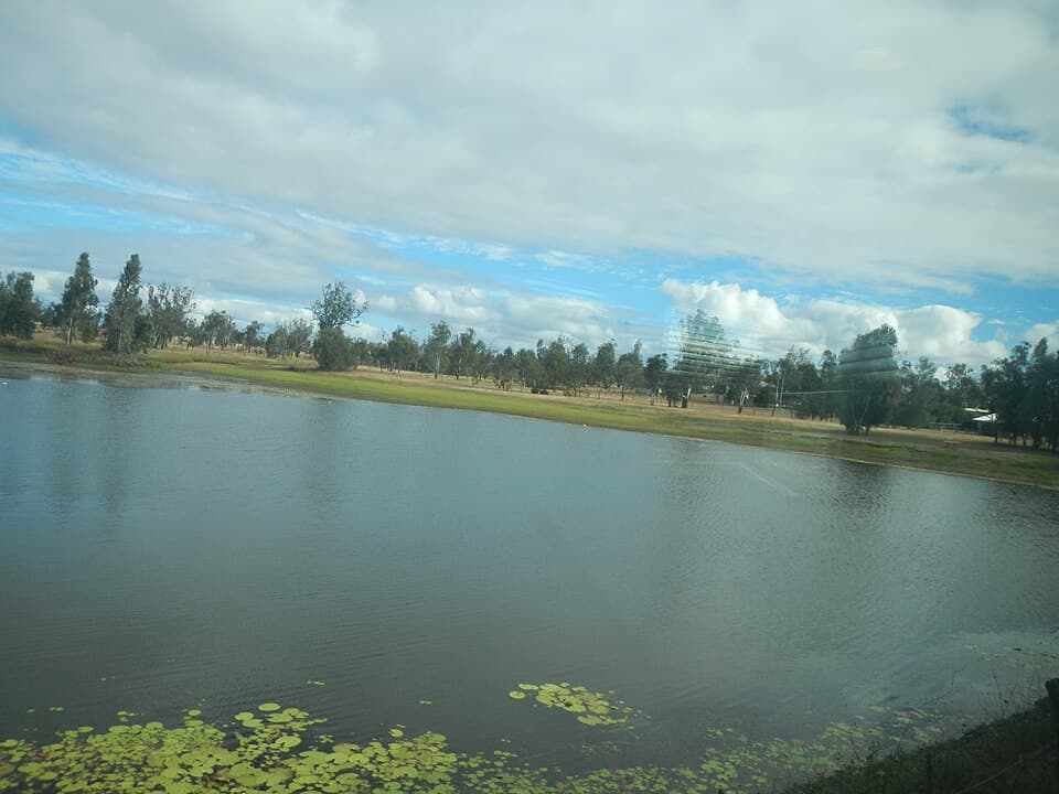
Scrub Lead is a designated fossicking area on the eastern edge of the Central Queensland Gemfields. The name comes from the local mining term for a sapphire-bearing gravel lead running through scrubby bushland.
Read full guide
Reward
DFLCentral Queensland Gemfields - 52 km west from Emerald
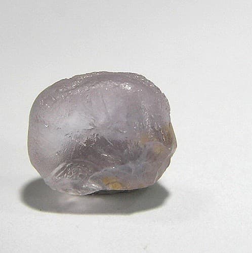
Reward is a designated fossicking land in the western part of the Central Queensland Gemfields. Named after the Reward mining claim, it has been producing sapphires since the early days of the gemfields.
Read full guide
Glenalva
FACentral Queensland Gemfields - 60 km south-west from Emerald
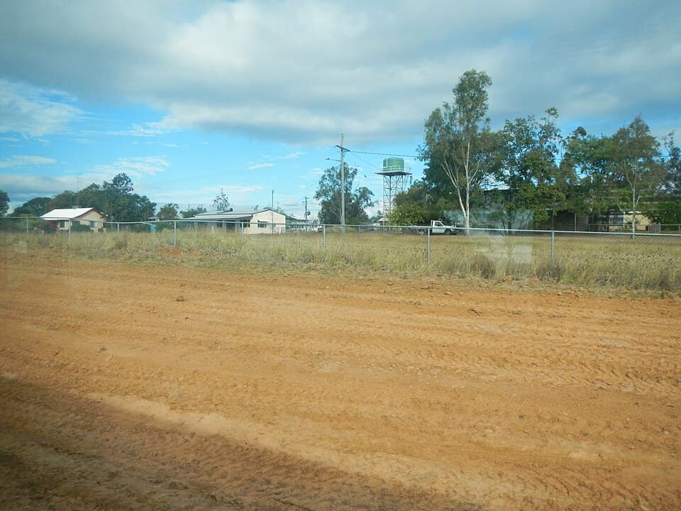
Glenalva is a fossicking area on the southern fringe of the Central Queensland Gemfields, between the main Sapphire-Rubyvale area and the Willows. The area takes its name from the former Glenalva pastoral property.
Read full guide
Big Bessie
FACentral Queensland Gemfields - 46 km west from Emerald
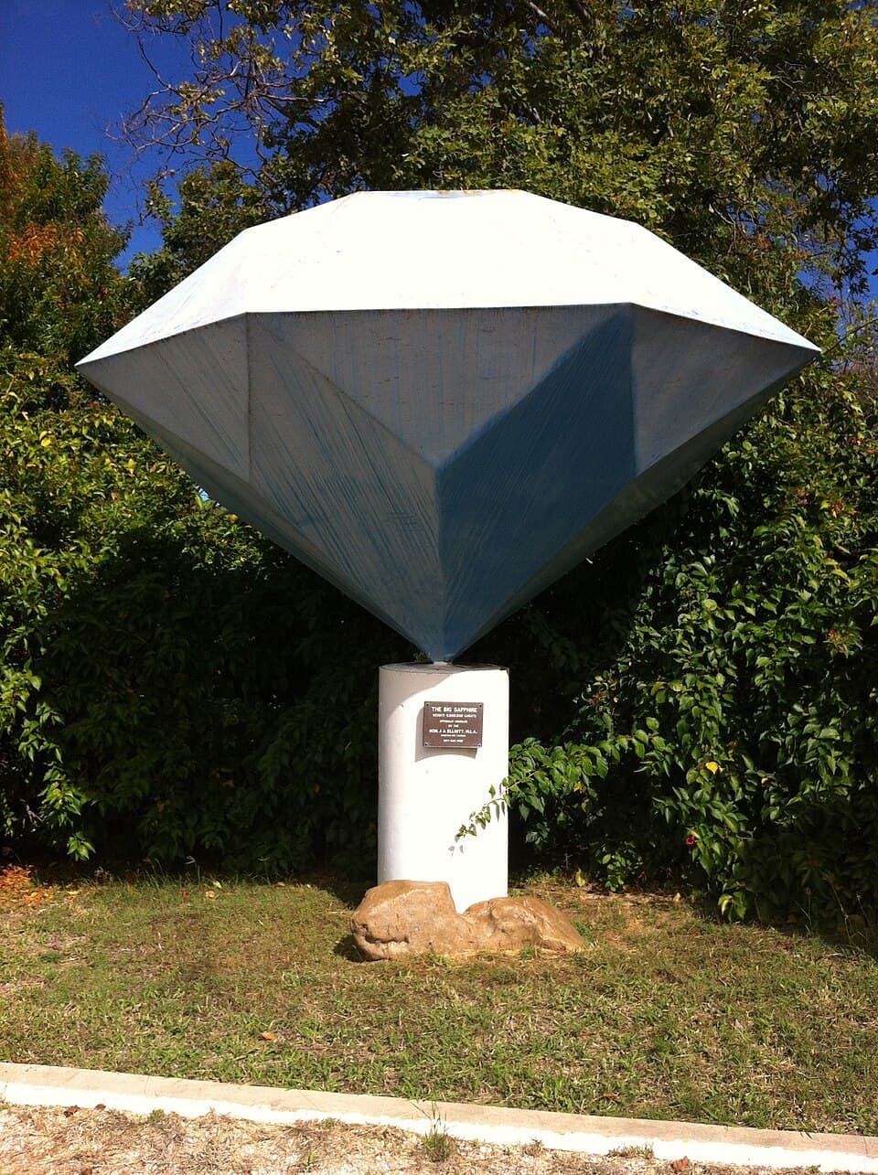
Big Bessie is a fossicking area immediately south of the Sapphire township in the Central Queensland Gemfields. Named after a productive mining claim, it has been part of the gemfields for decades.
Read full guide
Middle Ridge
FACentral Queensland Gemfields - 49 km west from Emerald
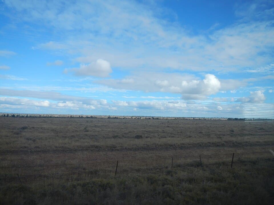
Middle Ridge is a fossicking area between the Rubyvale and Divide areas in the Central Queensland Gemfields. The ridge country here has produced sapphires from shallow alluvial gravels.
Read full guide
Graves Hill
FACentral Queensland Gemfields - 47 km west from Emerald
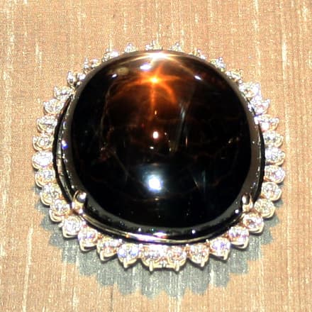
Graves Hill is a fossicking area south of Sapphire in the Central Queensland Gemfields. It sits on slightly elevated ground where sapphire-bearing gravels have been deposited over ancient volcanic terrain.
Read full guide
Tomahawk Creek
FACentral Queensland Gemfields - 70 km west from Emerald
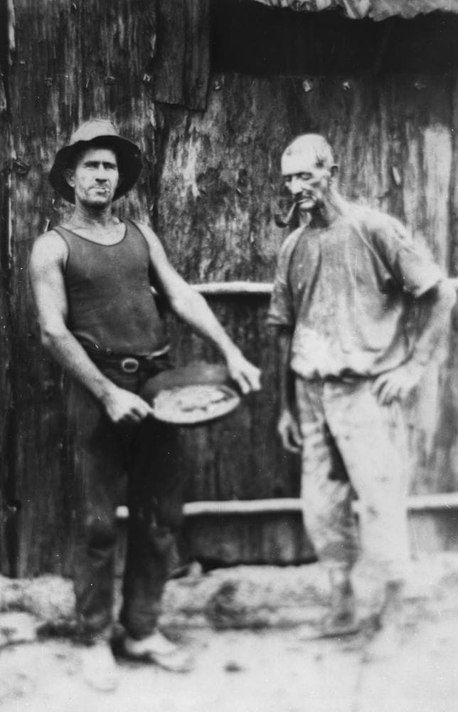
Tomahawk Creek is a fossicking area on the western edge of the Central Queensland Gemfields. The creek system has deposited sapphire-bearing gravels that have attracted fossickers for decades.
Read full guide
Clermont Gold District
Historic gold rush country near Clermont with 12 general permission areas open to fossickers.
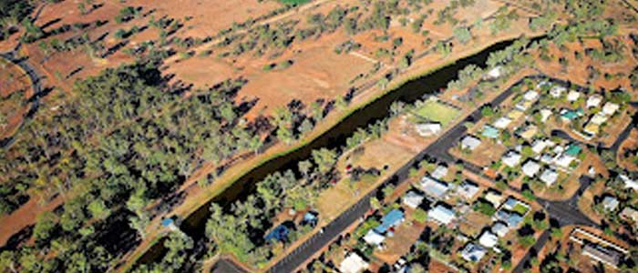
Bathampton
GPAClermont Gold District - 8 km north-west from Clermont
Bathampton is one of twelve general permission areas in the historic Clermont gold district. Gold was first discovered at Clermont in 1861, sparking one of Queensland's earliest gold rushes. At its peak, thousands of diggers worked the creek flats and surrounding hills.
Read full guide
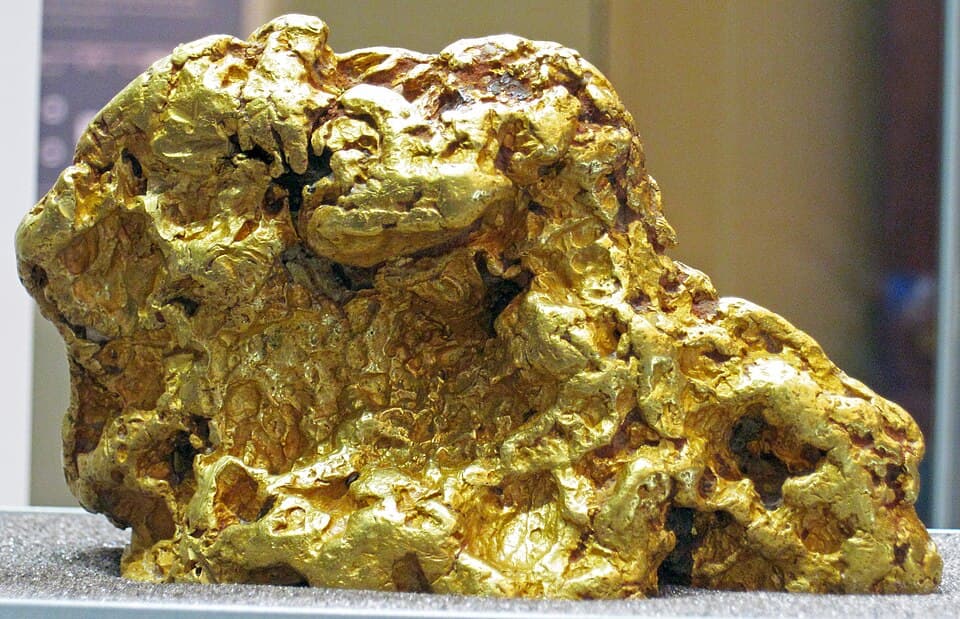
Birimgan East
GPAClermont Gold District - 20 km north-west from Clermont
Birimgan East is a general permission area in the Clermont gold district. The Birimgan area was worked extensively during the Clermont gold rush of the 1860s and 1870s.
Read full guide
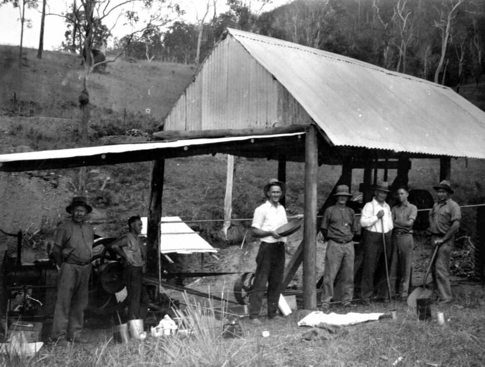
Birimgan West
GPAClermont Gold District - 25 km north-west from Clermont
Birimgan West is the western counterpart to Birimgan East in the Clermont gold district. Together the Birimgan areas cover a wide stretch of gold-bearing country.
Read full guide
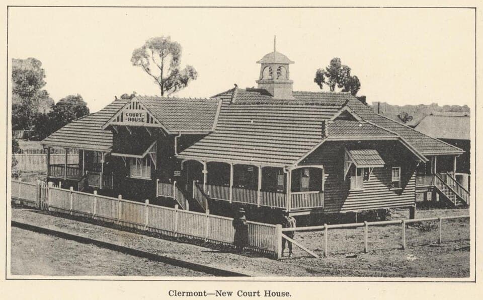
Black Ridge
GPAClermont Gold District - 20 km north from Clermont
Black Ridge is a general permission area in the Clermont gold district, named for the dark-coloured ridge country in the area. The ridge contains ironstone gravels that have trapped alluvial gold.
Read full guide
Brigalow
GPAClermont Gold District - 25 km north-west from Clermont
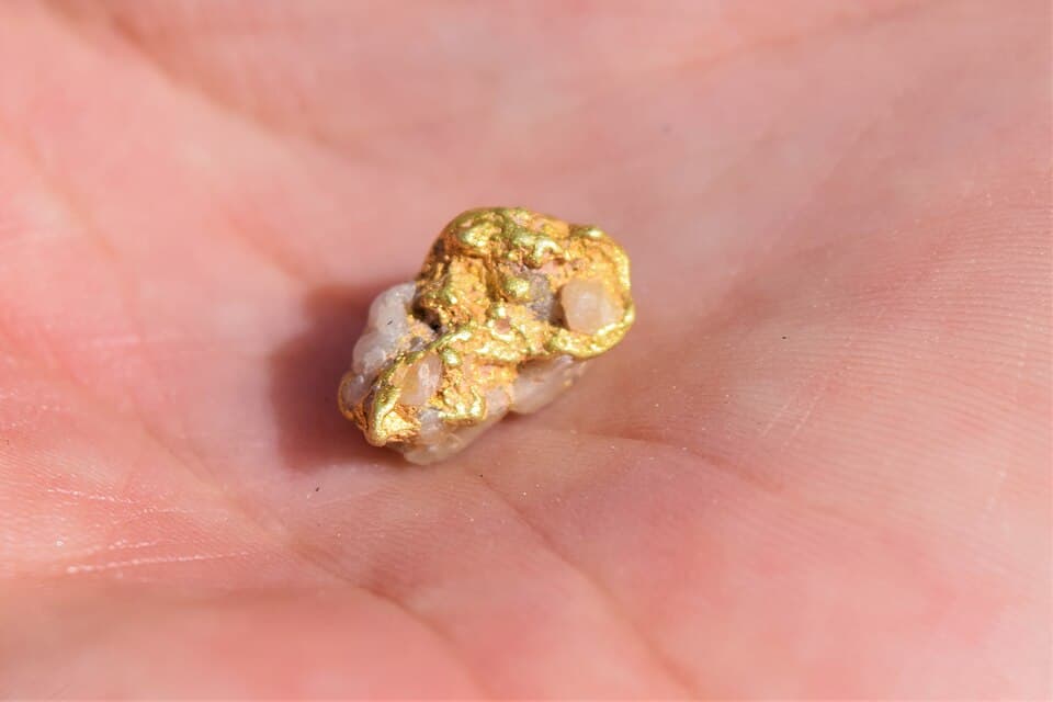
Brigalow takes its name from the brigalow scrub (Acacia harpophylla) that covers much of the country in this part of the Clermont gold district. The area was worked for alluvial gold during the historic Clermont rushes.
Read full guide
Flat Diggings
GPAClermont Gold District - 14 km north-west from Clermont
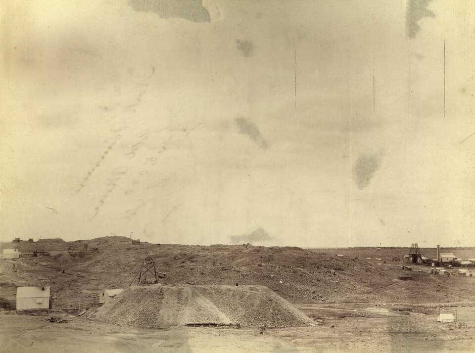
Flat Diggings is named for the shallow, flat alluvial workings that characterised the early mining here. This general permission area covers part of the historic Clermont goldfield where diggers worked the creek flats for alluvial gold.
Read full guide
Four Mile East
GPAClermont Gold District - 16 km north-west from Clermont
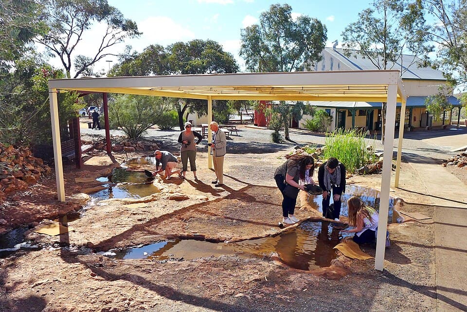
Four Mile East is one of a pair of general permission areas (with Four Mile West) named after their distance from the original Clermont settlement. The Four Mile diggings were among the most productive during the Clermont gold rush.
Read full guide
Four Mile West
GPAClermont Gold District - 18 km north-west from Clermont
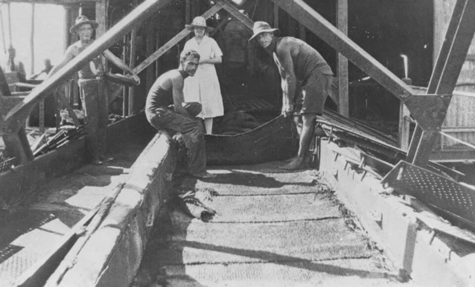
Four Mile West is the western counterpart to Four Mile East in the Clermont gold district. Together these areas cover a significant stretch of the historically productive Four Mile diggings.
Read full guide
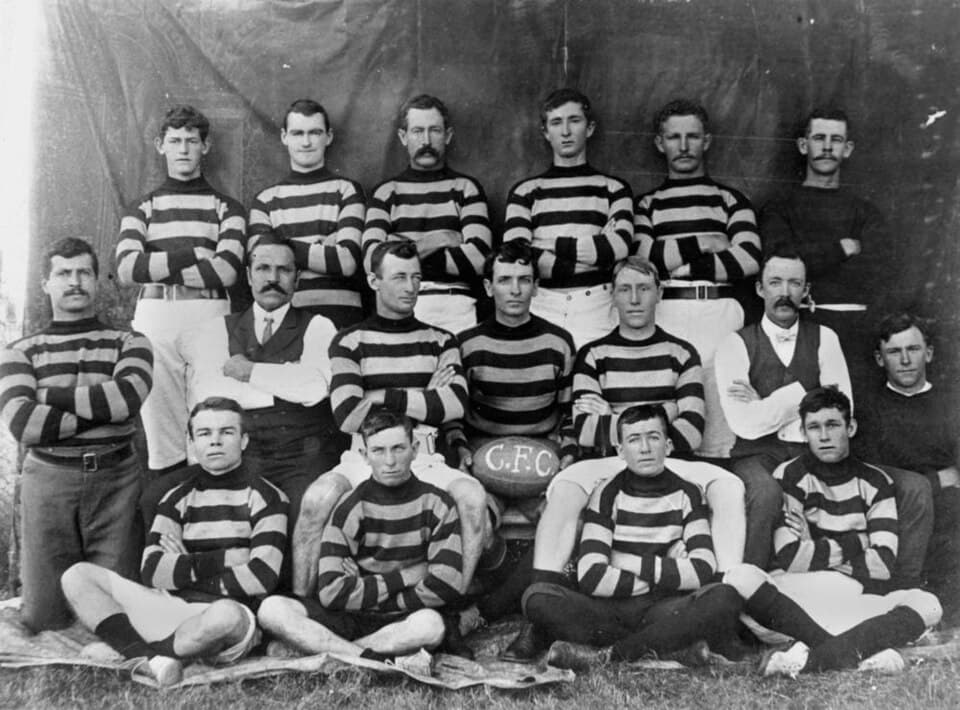
McDonald Flat
GPAClermont Gold District - 7 km south from Clermont
McDonald Flat is a general permission area south of Clermont, named after an early settler or miner. The flat terrain along the creek system here trapped alluvial gold washed down from the surrounding hills.
Read full guide
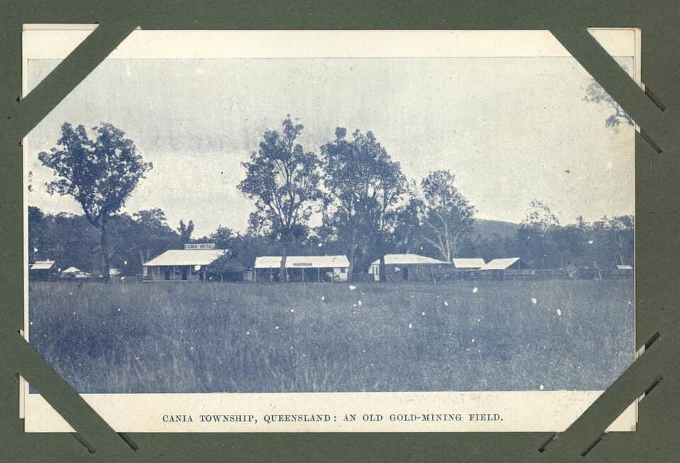
McMasters
GPAClermont Gold District - 25 km north from Clermont
McMasters is a general permission area in the northern part of the Clermont gold district. Like the other Clermont GPAs, it covers ground that was worked during the 1860s gold rush.
Read full guide
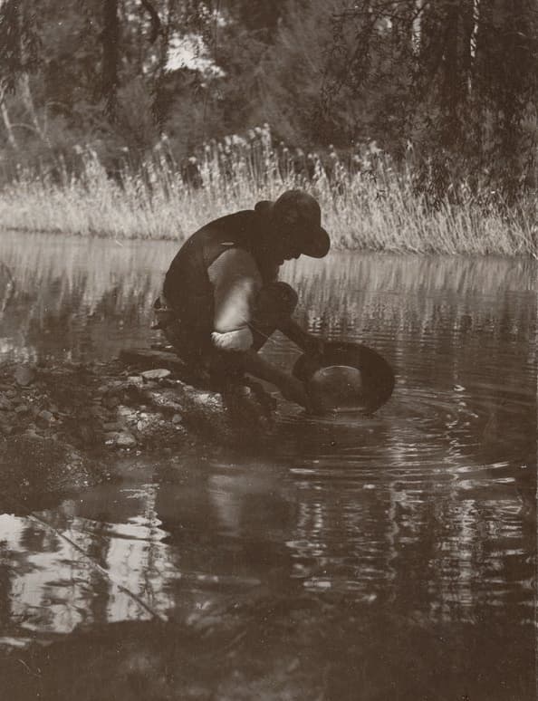
Museum Reserve
GPAClermont Gold District - 3 km north from Clermont
Museum Reserve is the closest general permission area to Clermont township. Its name reflects the heritage value of the old workings, which are considered part of the district's mining history.
Read full guide
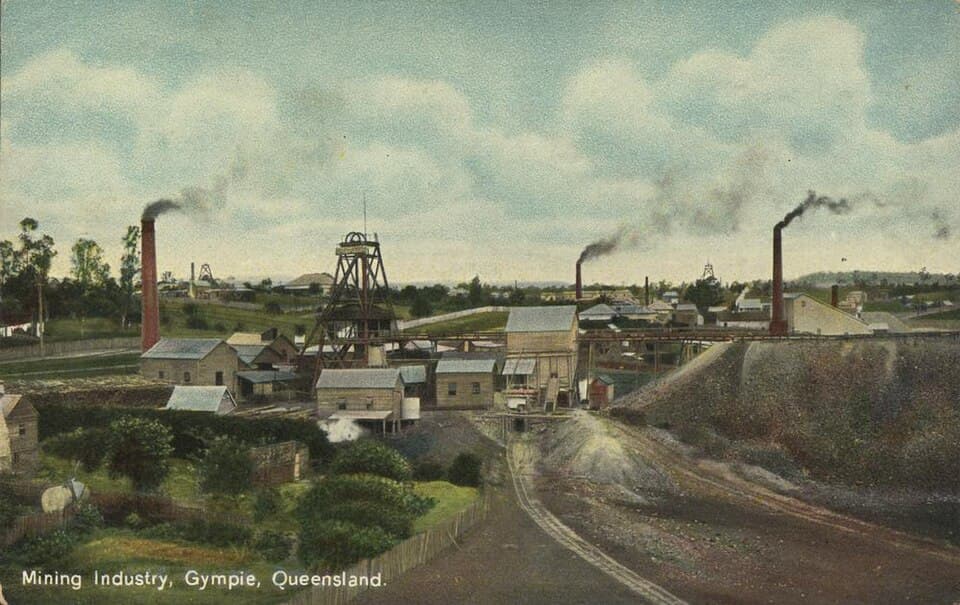
Town Reserve
GPAClermont Gold District - 2 km south-west from Clermont
Town Reserve is the general permission area closest to the centre of Clermont. It covers historic diggings on the edge of the township where the original gold rush began in 1861.
Read full guide
Northern Queensland
Remote tropical fossicking from agate at Agate Creek to topaz at Mount Gibson, sapphire at Lava Plains, and moonstone at Moonstone Hill.
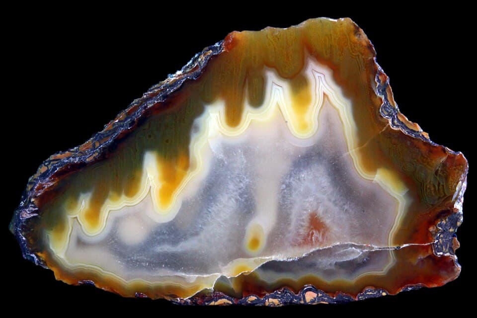
Agate Creek
FAGeorgetown district - 85 km south from Georgetown
Agate Creek is one of Queensland's most famous fossicking destinations, renowned for the quality and variety of its agate. The creek cuts through ancient volcanic rocks that have produced agate nodules, thundereggs, jasper, and chalcedony in spectacular colours.
Read full guide

O'Briens Creek
FAGeorgetown district - 65 km north-east from Georgetown
O'Briens Creek is one of Australia's premier topaz localities. The area produces gem-quality topaz crystals from weathered granite country, ranging from colourless to pale blue and occasionally champagne.
Read full guide
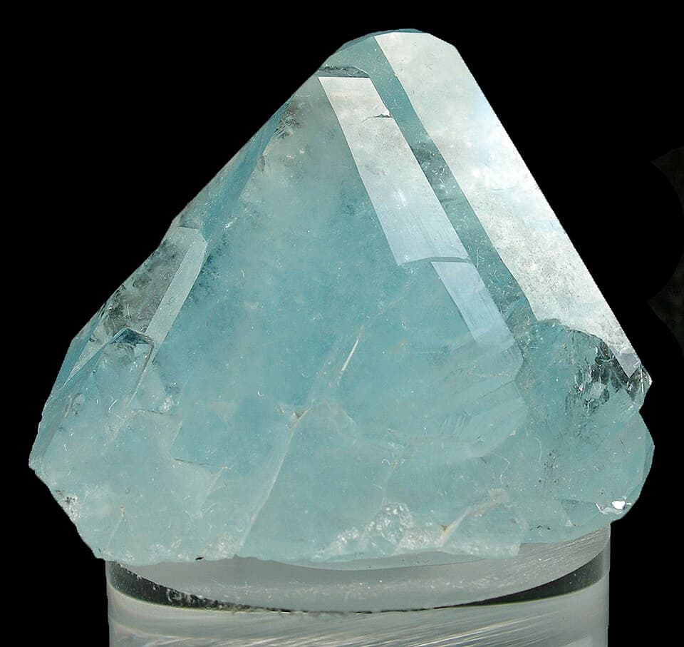
Mount Gibson
FAAtherton Tablelands - 75 km south-west from Mareeba
Mount Gibson near Innot Hot Springs is well known as a collecting locality for gem topaz. The area sits on the western edge of the Atherton Tablelands in Far North Queensland, where topaz, quartz, and cassiterite are found in weathered granite country.
Read full guide
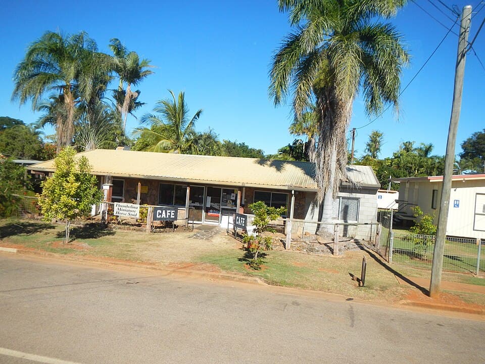
Young's Block
GPACharters Towers district - 5 km east from Charters Towers
Young's Block is a general permission area near the historic gold city of Charters Towers. Gold was discovered at Charters Towers in 1871, and the city grew to become one of the richest gold-producing areas in Queensland.
Read full guide
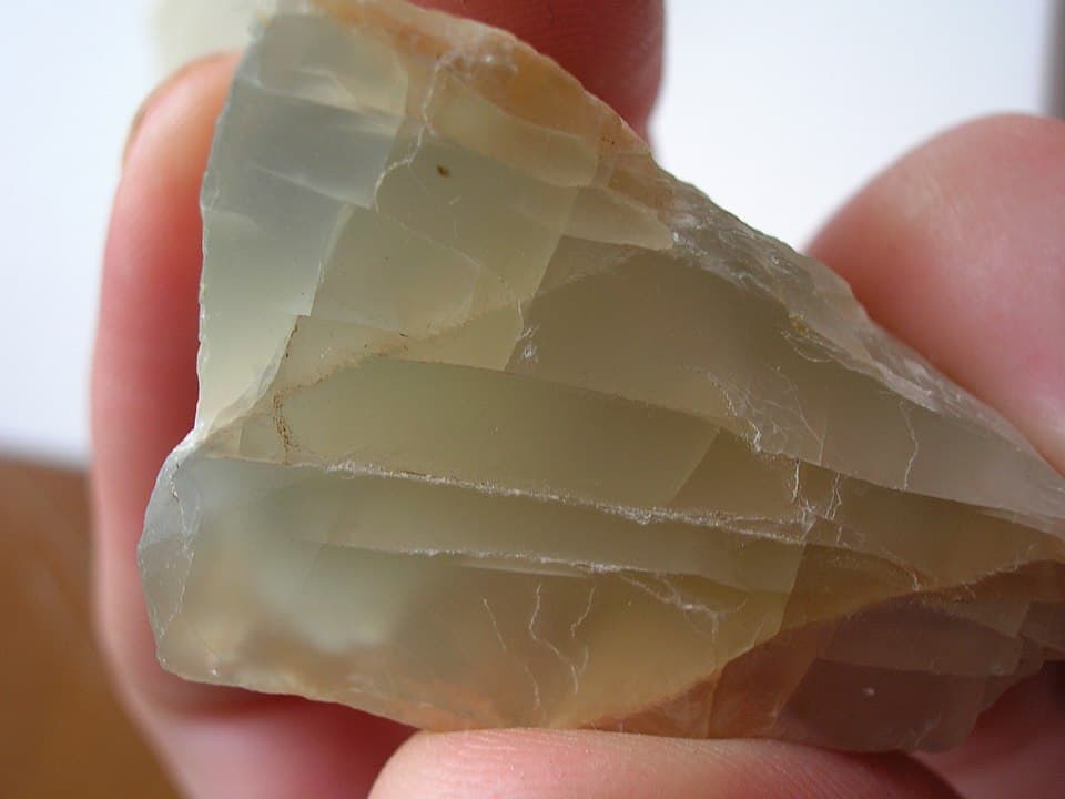
Moonstone Hill
GPALava Plains district - 100 km south-west from Greenvale
Moonstone Hill is a general permission area named for its deposits of feldspar moonstone. The area lies in the volcanic Lava Plains country west of the Great Dividing Range, where ancient volcanic activity has produced a range of gemstones and minerals.
Read full guide
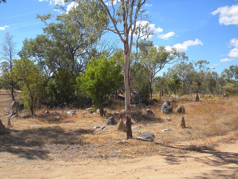
Mines Hill - Lava Plains
GPALava Plains district - 85 km south-west from Mount Garnet
Mines Hill is a general permission area in the Lava Plains district south-west of Mount Garnet. Lava Plains is well known as a collecting locality for sapphires, with small deposits of spinel and zircon also extensively worked in the past.
Read full guide
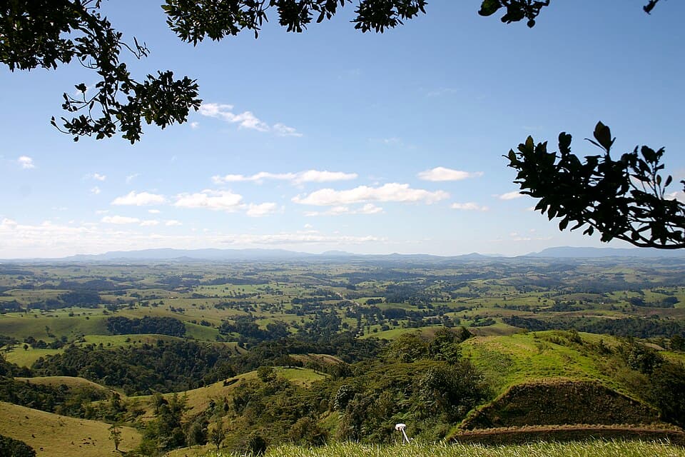
Bar-Barrum
GPAAtherton Tablelands - 25 km north-west from Mount Garnet
Bar-Barrum is a general permission area near Mount Garnet on the Atherton Tablelands. The area is named after the Barbaram (Bar-Barrum) Aboriginal people. The granite and volcanic country here produces a range of gem minerals.
Read full guide
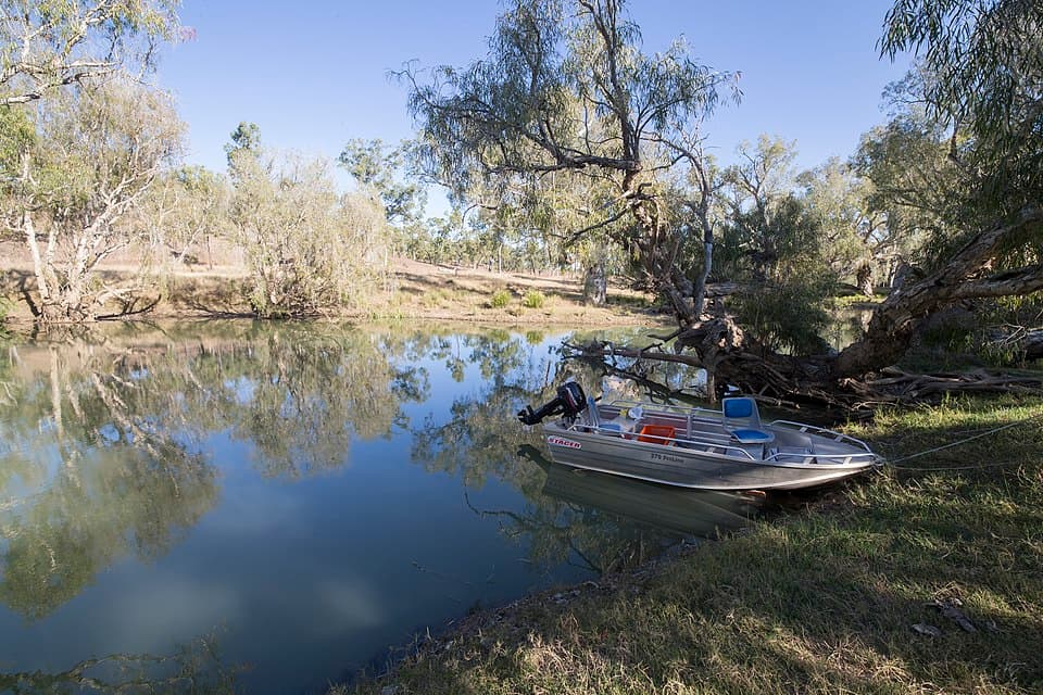
Wyandotte Creek
GPALava Plains district - 95 km south-west from Mount Garnet
Wyandotte Creek is a general permission area in the Lava Plains district, sharing the geology that has made Lava Plains well known as a sapphire collecting locality.
Read full guide
South-Eastern Queensland
Accessible fossicking within a few hours of Brisbane. Gold, topaz, and petrified wood.
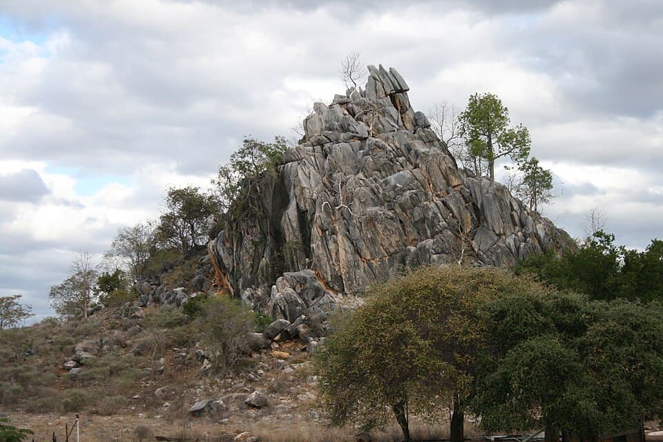
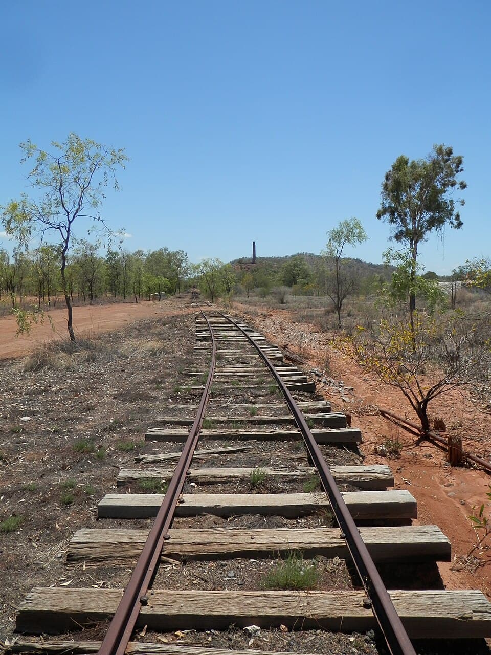
Lallalindi
GPASouth Burnett - 215 km south-west from Monto
Lallalindi is a general permission area in the South Burnett region. The area is known for its deposits of petrified wood and agate.
Read full guide
Greenswamp
GPASouth Burnett - 215 km south-west from Monto
Greenswamp is a general permission area adjacent to Lallalindi in the South Burnett region, sharing similar geology and fossicking opportunities.
Read full guide
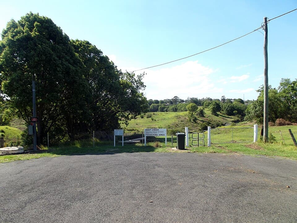
Deep Creek
FAGympie district - 3 km south from Gympie
Deep Creek is a fossicking area in the historic Gympie gold district. Gold was discovered at Gympie in 1867 by James Nash, and the resulting rush is credited with saving the colony of Queensland from bankruptcy.
Read full guide

Thanes Creek
FADarling Downs - 35 km west from Warwick
Thanes Creek is a fossicking area west of Warwick on the Darling Downs. The creek has produced alluvial gold and occasional sapphires from its gravels.
Read full guide
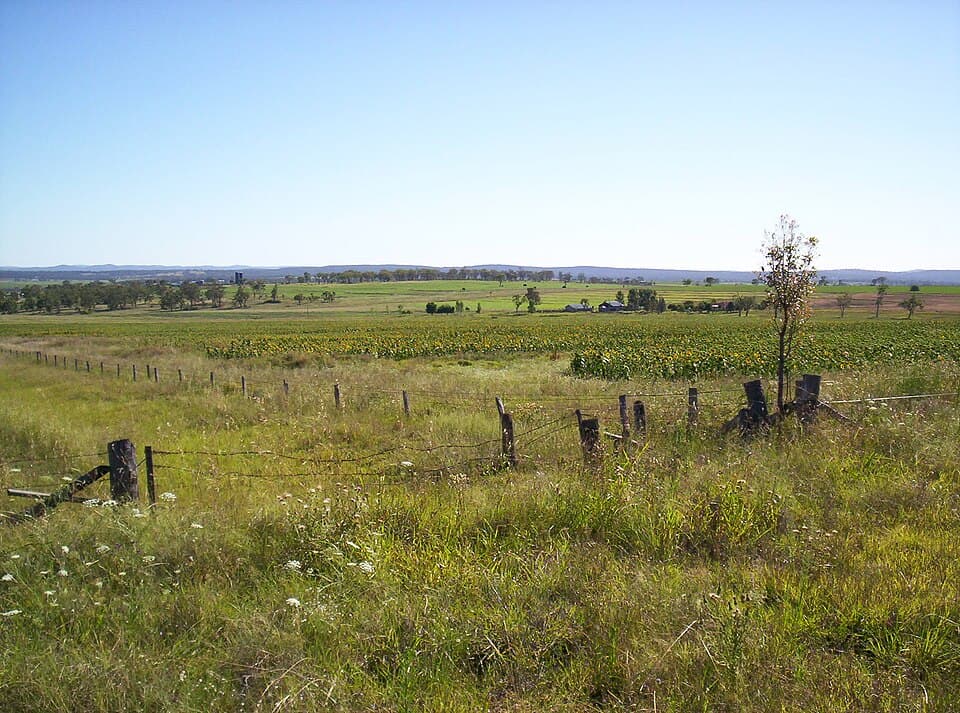
Swiper's Gully
GPAGranite Belt - 15 km west from Stanthorpe
Swiper's Gully is a general permission area in the Granite Belt near Stanthorpe, known for its topaz deposits. The Granite Belt is famous for its wine production, but the granite country also yields gem minerals.
Read full guide
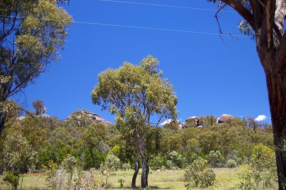
Durikai State Forest
GPADarling Downs - 40 km west from Warwick
Durikai State Forest is a general permission area on the Darling Downs west of Warwick. The forest covers alluvial gold country along creek systems draining the surrounding hills.
Read full guide
Talgai State Forest
GPADarling Downs - 25 km north-west from Warwick
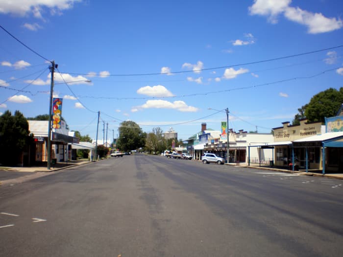
Talgai State Forest is a general permission area north-west of Warwick. The forest covers alluvial gold country similar to the nearby Durikai State Forest.
Read full guide
Western Opal Fields
Boulder opal country in the remote west. Yowah and Opalton are legendary among opal hunters.
Opalton
DFLWestern Queensland - 130 km south-west from Longreach
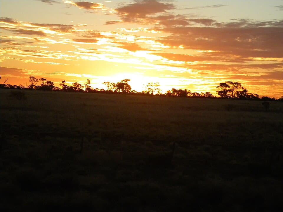
Opalton is a remote designated fossicking land in western Queensland, at the heart of the Queensland boulder opal belt. Opal was first discovered in the area in the 1880s, and Opalton grew into a small mining settlement.
Read full guide
Yowah
FASouth-Western Queensland - 100 km west from Cunnamulla
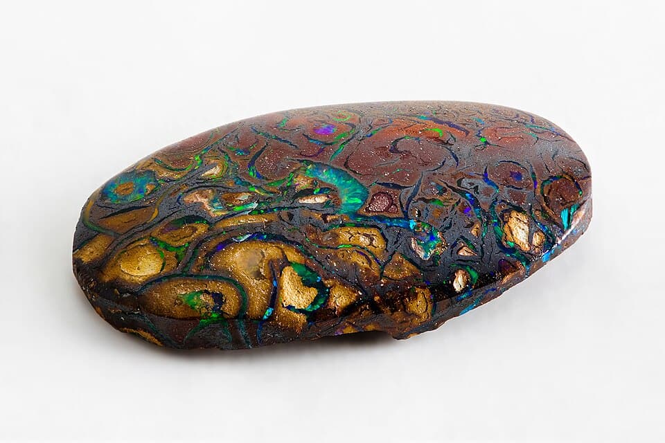
Yowah is one of the most famous opal localities in Queensland, known worldwide for the unique "Yowah nut" - small ironstone concretions with a kernel of precious opal inside. The field has been worked since the 1880s.
Read full guide
Duck Creek
DFLSouth-Western Queensland - 130 km north-west from Cunnamulla
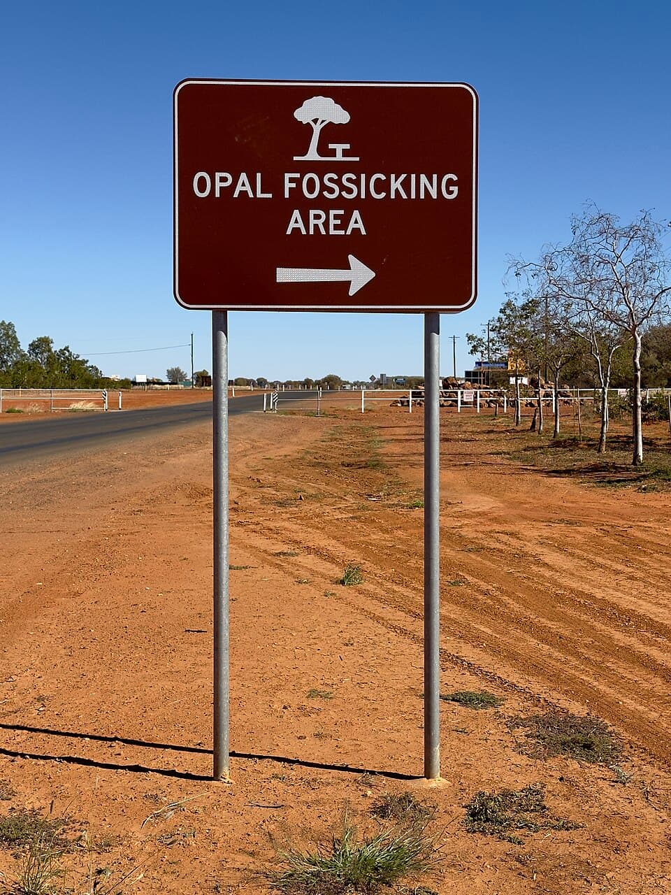
Duck Creek is a designated fossicking land in the Queensland boulder opal belt, north of Yowah. The area has produced boulder opal from the Cretaceous-age ironstone concretions that characterise the opal belt.
Read full guide
Sheep Station Creek
DFLSouth-Western Queensland - 120 km north-west from Cunnamulla
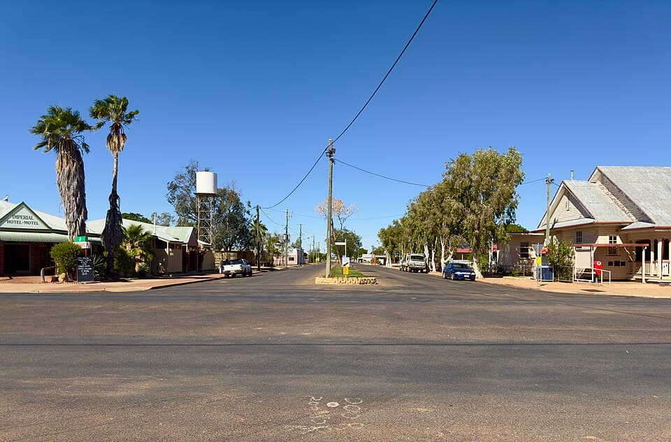
Sheep Station Creek is a designated fossicking land adjacent to Duck Creek in the Queensland boulder opal belt. The creek system cuts through opal-bearing ironstone country.
Read full guide
Other Areas
Additional fossicking areas across Queensland.
Permits and Rules
A fossicking licence is required to fossick anywhere in Queensland.
Getting a Licence
Fossicking licences can be purchased online from the Queensland Government's MyMinesOnline portal. Licences are available for 1 month ($10.40), 1 year ($20.80), or life ($52.15). Group licences covering up to 4 adults are also available. Children under 16 can fossick under a parent's licence.
Tools Allowed
Hand tools only: pick, shovel, pan, sieve, rake, and hand-held suction devices. Battery or hand-operated metal detectors are permitted. No mechanised equipment, explosives, or chemicals. Maximum digging depth is 2 metres on designated fossicking land.
What You Can Keep
You may keep what you find for personal use. Fossicking is a recreational activity. Material may be cut, polished, or set in jewellery for personal use or sale. Commercial-scale mining operations require a mining licence, not a fossicking licence.
Key Rules
Carry your licence
You must carry your fossicking licence at all times while fossicking.
Backfill all holes
All holes must be backfilled before you leave the site. Leave the area as you found it.
No damage to vegetation
You must not damage live trees or vegetation. Dead timber may be used for camp fires where permitted.
Respect private land
You must not fossick on private land without the landowner's written permission.
No fossicking in National Parks
Fossicking is not permitted in National Parks, conservation parks, or nature refuges.
Safety in Queensland
Many fossicking areas are remote and conditions can be extreme, particularly in the west and far north.
Heat
Summer temperatures in western QLD regularly exceed 40 degrees C, and even spring and autumn days can be dangerously hot. Avoid fossicking in the middle of the day from October to March. Carry at least 5 litres of water per person per day, more if you are digging. Wear a broad-brimmed hat, long sleeves, and high-SPF sunscreen. Heat exhaustion and heatstroke are serious risks. If you feel dizzy, nauseous, or stop sweating, get into shade immediately and cool down.
Flooding
Many fossicking areas are inaccessible during the wet season, particularly in western and northern QLD. Unsealed roads can become impassable within hours of rain, and creek crossings can rise without warning. Check road conditions with local councils before travelling. If water is flowing across a road, do not attempt to cross. Some areas like Agate Creek and the western opal fields can strand travellers for days or weeks after heavy rain.
Abandoned Mines
Several fossicking areas contain historic mine workings, open shafts, and unstable ground, particularly around Clermont, the Gemfields, and the western opal fields. Stay well clear of fenced-off areas and never enter abandoned mine tunnels or shafts. Ground around old workings can be undercut and collapse without warning. Keep children and pets away from all mine openings. If you see an unfenced shaft, report it to the local council.
Crocodiles
Saltwater crocodiles inhabit rivers, creeks, and waterholes across northern Queensland. Fossicking areas north of the Tropic of Capricorn, including Agate Creek and Mount Garnet, are in croc country. Never swim in, wade through, or camp beside waterways unless you are certain they are croc-free. Do not clean fish or discard food scraps near the water. Be aware that crocs can be found well inland and in surprisingly small bodies of water.
Snakes
Queensland is home to several highly venomous snake species including eastern browns, taipans, and death adders. Wear sturdy boots and long trousers when fossicking. Watch where you step and where you put your hands, especially around rock piles, old workings, and fallen timber. If bitten, apply a pressure immobilisation bandage, keep still, and call for help immediately. Do not wash the bite site as venom traces help identify the species for treatment.
Communication
Mobile reception is patchy or non-existent at many fossicking areas, especially in western and northern QLD. Carry a satellite phone or personal locator beacon (PLB) if you are travelling to remote areas. A PLB can be hired from outdoor retailers if you do not own one. Download offline maps before you leave, as GPS-only navigation without mobile data is unreliable on unsealed roads. UHF radio (channel 40) is useful for communicating with other travellers.
First Aid
Carry a well-stocked first aid kit including compression bandages for snake bite, antiseptic, and blister treatment. The nearest hospital can be several hours away from western and northern fossicking areas. Know basic first aid before heading out, and carry any personal medications you may need for the duration of your trip plus extra. Consider completing a remote first aid course if you plan to fossick in isolated areas regularly.
Tell Someone
Leave your travel plans with a responsible person, including expected return dates and the specific fossicking areas you plan to visit. If you change your plans, update them. If you are overdue, that person should contact Queensland Police. Many fossicking areas have no other visitors for days at a time, so if something goes wrong, nobody may notice. Register your trip with the local police station if you are heading to very remote areas like the western opal fields.
See All QLD Fossicking Areas on the Map
View all 44 fossicking areas with satellite imagery, terrain, and land tenure.
Open MapArea information sourced from the Queensland Government. This guide is provided for informational purposes only. Always verify current rules, access conditions, and licence requirements with the Queensland Government before travelling.