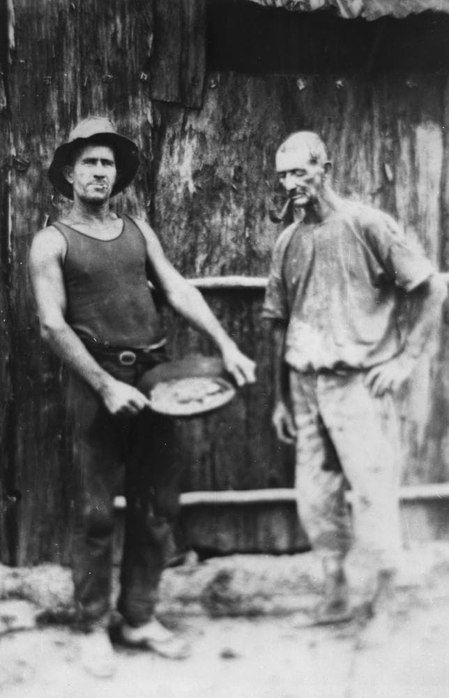
Tomahawk Creek
Central Queensland Gemfields - 70 km west from Emerald
Location
Central Queensland Gemfields
Nearest Town
Emerald
Distance
70 km west
Photo: State Library of Queensland (Public Domain)
Location
Tomahawk Creek is near Emerald
Fossicking Area Boundary
Official declared boundary from the Queensland Government. You may only fossick within this area.
Boundary data from Queensland Government spatial services
History
Tomahawk Creek is a fossicking area on the western edge of the Central Queensland Gemfields. The creek system has deposited sapphire-bearing gravels that have attracted fossickers for decades.
The creek system has deposited sapphire-bearing gravels that have attracted fossickers for decades.
What You Can Find
Sapphires and zircon in creek gravels. Some good blues as well as fancy stones have been found.
Getting There
Located west of the main gemfields. Access via unsealed roads. High-clearance vehicle recommended.
Camping
Remote area with no facilities. Bush camping may be possible. Carry all water and supplies.
View Tomahawk Creek on the Map
See satellite imagery, terrain, and surrounding fossicking areas.
Open MapSource: Queensland Government