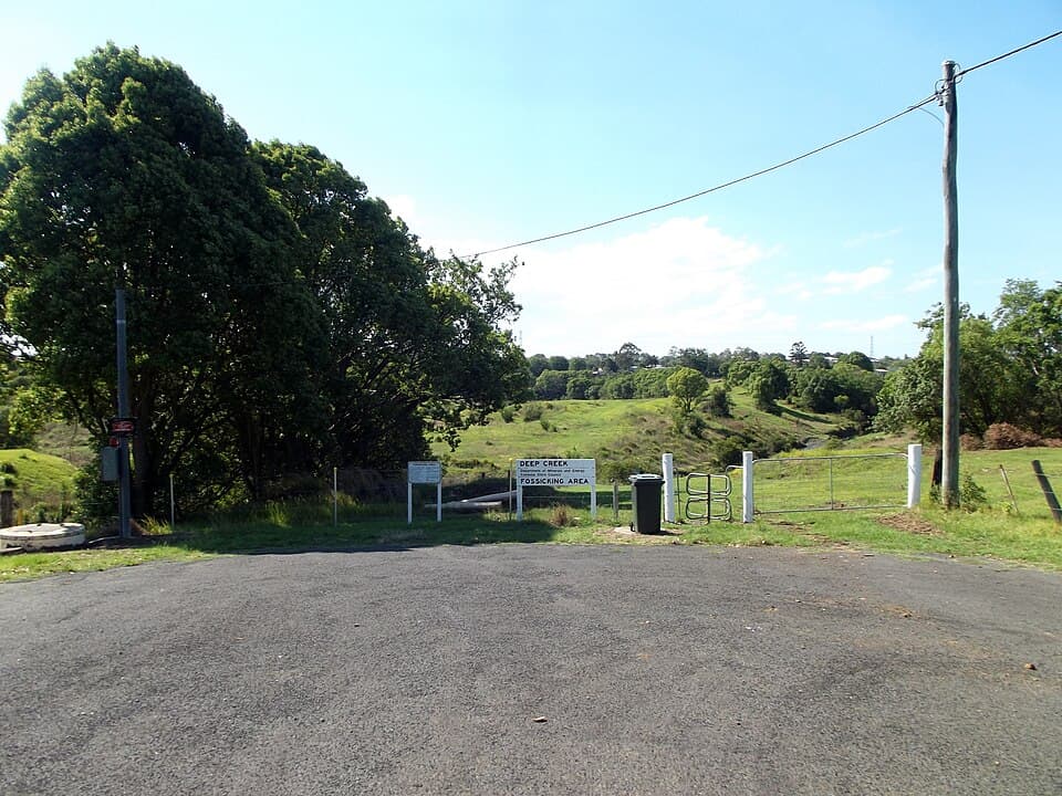
Deep Creek
Gympie district - 3 km south from Gympie
Location
Gympie district
Nearest Town
Gympie
Distance
3 km south
Photo: Che Lydia Xyang / Wikimedia Commons (CC BY-SA 3.0)
Location
Deep Creek is near Gympie
Fossicking Area Boundary
Official declared boundary from the Queensland Government. You may only fossick within this area.
Boundary data from Queensland Government spatial services
History
Deep Creek is a fossicking area in the historic Gympie gold district. Gold was discovered at Gympie in 1867 by James Nash, and the resulting rush is credited with saving the colony of Queensland from bankruptcy.
The Gympie goldfield produced significant quantities of gold from both alluvial and reef mining. Deep Creek was one of the alluvial areas worked during the rush.
What You Can Find
Gold is derived from weathering and erosion of the historic reefs in the area. Panning alluvial sediments in the creek is the main method.
Getting There
Located just south of Gympie. Gympie is approximately 160 km north of Brisbane on the Bruce Highway.
Access to the fossicking area is via local roads from Gympie.
Camping
No camping at the fossicking area. Full services available in Gympie.
Source: Queensland Government