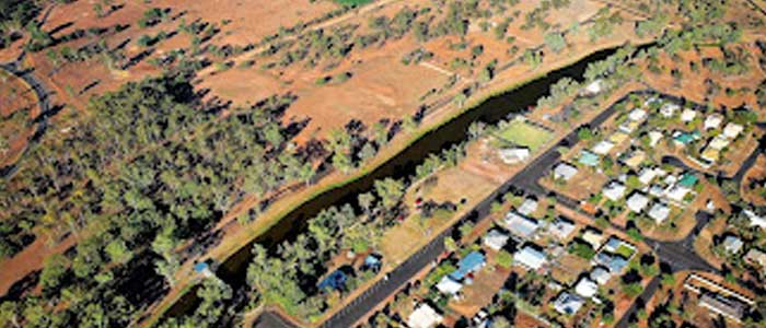
Bathampton
Clermont Gold District - 8 km north-west from Clermont
Location
Clermont Gold District
Nearest Town
Clermont
Distance
8 km north-west
Photo: State Library of Queensland (Public Domain)
Location
Bathampton is near Clermont
Fossicking Area Boundary
Official declared boundary from the Queensland Government. You may only fossick within this area.
Boundary data from Queensland Government spatial services
History
Bathampton is one of twelve general permission areas in the historic Clermont gold district. Gold was first discovered at Clermont in 1861, sparking one of Queensland's earliest gold rushes. At its peak, thousands of diggers worked the creek flats and surrounding hills.
The Clermont goldfield was one of the richest alluvial fields in Queensland, producing significant quantities of gold from shallow diggings in creek beds and terraces.
What You Can Find
Alluvial gold in creek gravels and terrace deposits. Panning and detecting are both productive methods.
Getting There
Located approximately 8 km north-west of Clermont. Access via local roads from the town.
Clermont is on the Peak Downs Highway, about 290 km south-west of Mackay.
Camping
No facilities at the fossicking area. Accommodation and camping available in Clermont.
Source: Queensland Government