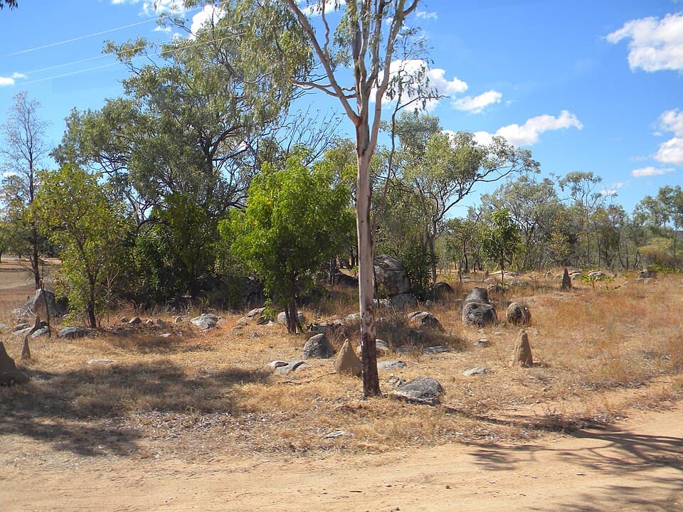
Mines Hill - Lava Plains
Lava Plains district - 85 km south-west from Mount Garnet
Location
Lava Plains district
Nearest Town
Mount Garnet
Distance
85 km south-west
Photo: Lobster1 / Wikimedia Commons (CC BY-SA 3.0)
Location
Mines Hill - Lava Plains is near Mount Garnet
Fossicking Area Boundary
Official declared boundary from the Queensland Government. You may only fossick within this area.
Boundary data from Queensland Government spatial services
History
Mines Hill is a general permission area in the Lava Plains district south-west of Mount Garnet. Lava Plains is well known as a collecting locality for sapphires, with small deposits of spinel and zircon also extensively worked in the past.
What You Can Find
Gem-quality sapphires may be found in the gravel of creeks and gullies, and on the terraces adjacent to drainages. Spinel and zircon are also found in the wash.
Getting There
From Mount Garnet, head south-west via local roads. A 4WD is recommended.
Camping
Bush camping only. No facilities. Nearest services in Mount Garnet.
View Mines Hill - Lava Plains on the Map
See satellite imagery, terrain, and surrounding fossicking areas.
Open MapSource: Queensland Government