Sheep Station Creek
South-Western Queensland - 120 km north-west from Cunnamulla
Location
South-Western Queensland
Nearest Town
Cunnamulla
Distance
120 km north-west
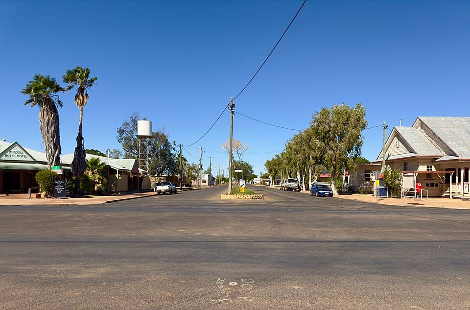
Photo: Kgbo / Wikimedia Commons (CC BY-SA 4.0)
Location
Sheep Station Creek is near Cunnamulla
Fossicking Area Boundary
Official declared boundary from the Queensland Government. You can fossick in the green, except where a mining lease or application is marked. Tap the map for details.
Boundary and mining tenure data from Queensland Government spatial services. Tap a lease for details.
History
Sheep Station Creek is a designated fossicking land adjacent to Duck Creek in the Queensland boulder opal belt. The creek system cuts through opal-bearing ironstone country.
What You Can Find
Boulder opal in ironstone concretions along the creek and surrounding country.
Getting There
Located north-west of Cunnamulla, adjacent to Duck Creek. 4WD recommended.
Camping
Bush camping only. No facilities.
View Sheep Station Creek on the Map
See satellite imagery, terrain, and surrounding fossicking areas.
Open MapSource: Queensland Government