Black Ridge
Clermont Gold District - 20 km north from Clermont
Location
Clermont Gold District
Nearest Town
Clermont
Distance
20 km north
Mining leases over part of this area
A granted gold mining lease covers about 30% of Black Ridge. Under the Fossicking Act (section 27) you need the holder's written permission to fossick on a granted mining lease, and the applicant's written permission on land under a mining lease application, even inside a fossicking area. Without it you can be fined up to 50 penalty units.
- ML 100159 (granted February 2023): about 48 ha.
Checked 2 November 2026 against Queensland Government mining tenure data. Titles change, so check the current boundaries on Queensland Globe before you go. Every title over every Queensland fossicking area, checked weekly, is on our Queensland Mining Lease Updates page.
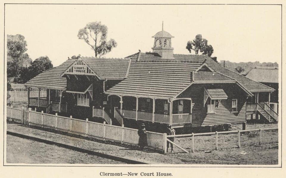
Photo: State Library of Queensland (Public Domain)
Location
Black Ridge is near Clermont
Fossicking Area Boundary
Official declared boundary from the Queensland Government. You can fossick in the green, except where a mining lease or application is marked. Tap the map for details.
Boundary and mining tenure data from Queensland Government spatial services. Tap a lease for details.
History
Black Ridge is a general permission area in the Clermont gold district, named for the dark-coloured ridge country in the area. The ridge contains ironstone gravels that have trapped alluvial gold.
What You Can Find
Alluvial gold in ironstone gravels and creek beds. Metal detecting on the ridge slopes can be productive.
Getting There
Located north of Clermont. Access via local roads and tracks.
Camping
No facilities. Accommodation in Clermont.
View Black Ridge on the Map
See satellite imagery, terrain, and surrounding fossicking areas.
Open MapSource: Queensland Government