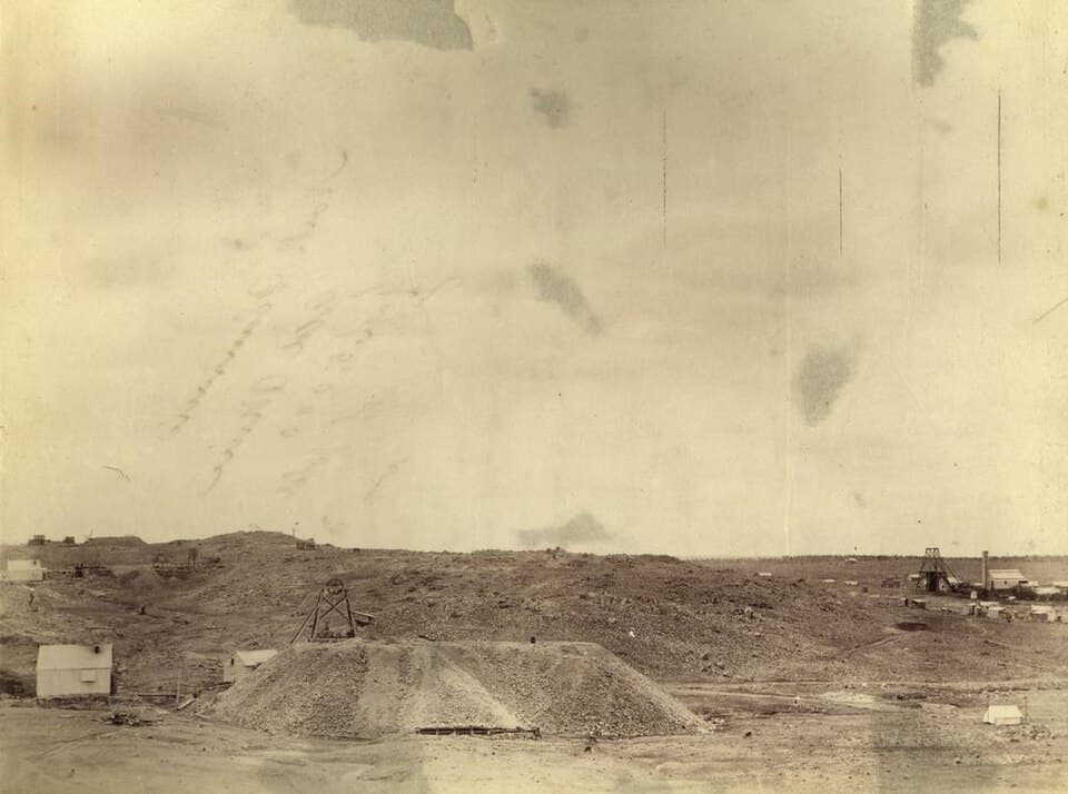
Flat Diggings
Clermont Gold District - 14 km north-west from Clermont
Location
Clermont Gold District
Nearest Town
Clermont
Distance
14 km north-west
Photo: State Library of Queensland (Public Domain)
Location
Flat Diggings is near Clermont
Fossicking Area Boundary
Official declared boundary from the Queensland Government. You may only fossick within this area.
Boundary data from Queensland Government spatial services
History
Flat Diggings is named for the shallow, flat alluvial workings that characterised the early mining here. This general permission area covers part of the historic Clermont goldfield where diggers worked the creek flats for alluvial gold.
What You Can Find
Fine to coarse alluvial gold in shallow creek flat deposits. Panning in the creek beds is the traditional method.
Getting There
Located north-west of Clermont via local roads.
Camping
No facilities. Accommodation in Clermont.
View Flat Diggings on the Map
See satellite imagery, terrain, and surrounding fossicking areas.
Open MapSource: Queensland Government