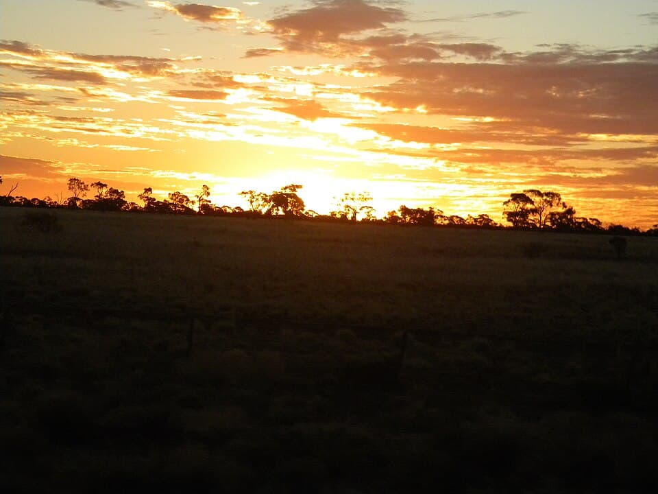
Opalton
Western Queensland - 130 km south-west from Longreach
Location
Western Queensland
Nearest Town
Longreach
Distance
130 km south-west
Photo: Lobster1 / Wikimedia Commons (CC BY-SA 3.0)
Location
Opalton is near Longreach
Fossicking Area Boundary
Official declared boundary from the Queensland Government. You may only fossick within this area.
Boundary data from Queensland Government spatial services
History
Opalton is a remote designated fossicking land in western Queensland, at the heart of the Queensland boulder opal belt. Opal was first discovered in the area in the 1880s, and Opalton grew into a small mining settlement.
Queensland is the world's primary source of boulder opal, a type of precious opal that forms in thin seams within ironstone concretions. The best pieces display vivid play of colour against the dark ironstone matrix.
What You Can Find
Boulder opal in ironstone concretions. The opal forms as thin veins and patches within the ironstone, and the whole piece is typically cut and polished with the matrix.
Fossicking involves breaking apart ironstone boulders and nodules, looking for seams of precious opal.
Getting There
From Longreach, head south-west via the Jericho road and then turn off onto unsealed roads towards Opalton, approximately 130 km.
A 4WD or high-clearance vehicle is recommended. Roads can be impassable after rain.
Camping
Bush camping at Opalton. Very limited facilities.
Carry all water, food, and fuel. The nearest supplies are in Longreach.
Important Notes
- !Extremely remote. No mobile reception. Carry a satellite phone or PLB.
- !Temperatures can exceed 45 degrees in summer. Best visited between April and October.
- !A Queensland fossicking licence is required.
Source: Queensland Government