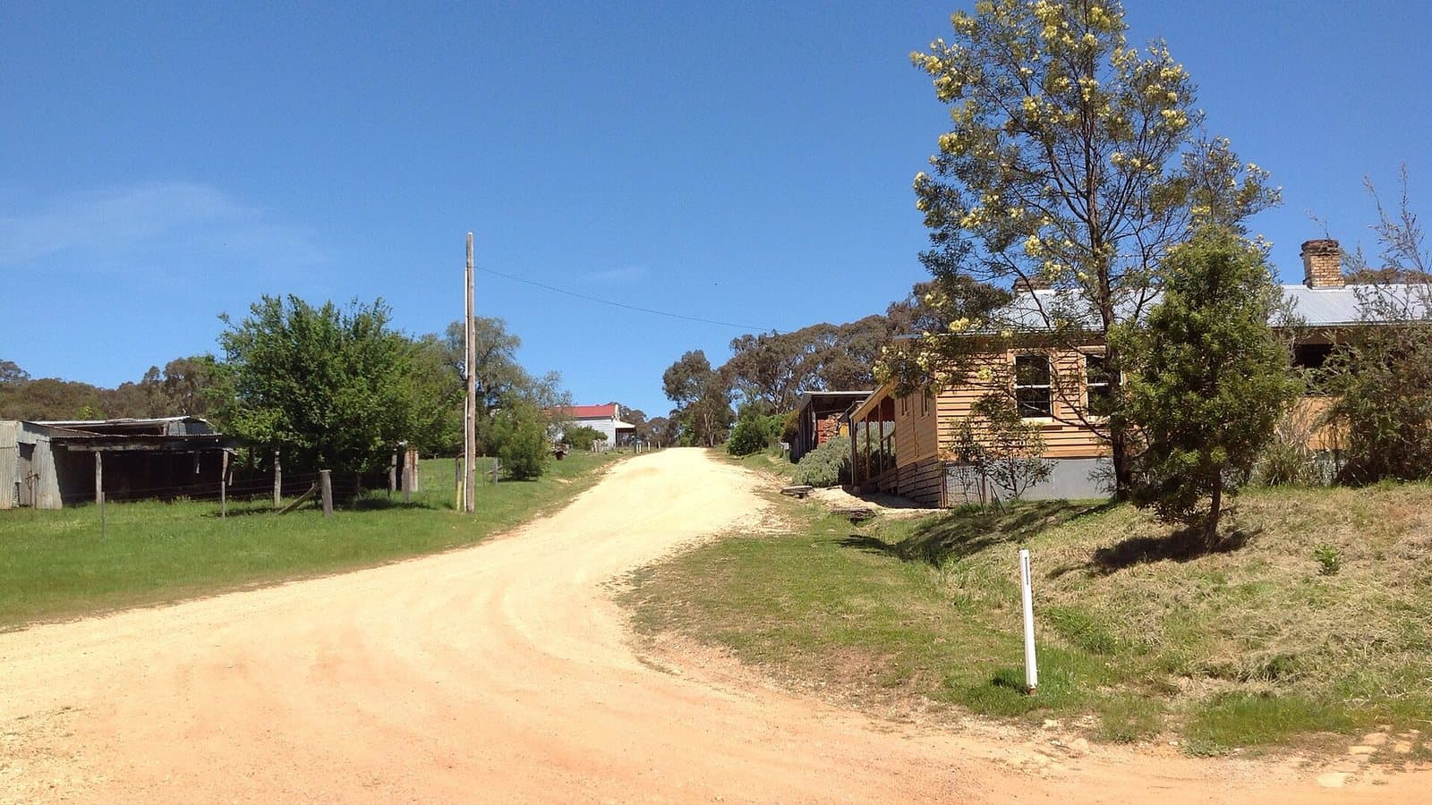
Steiglitz Historic Park
A near-ghost town in the Brisbane Ranges, once a busy reef-gold town. Parks Victoria lists it as a prospecting park, but has no area map published.
Land
Historic park
Nearest town
Meredith
Distance
10 km east
Old workings inside
16
Photo: 6andy6, Wikimedia Commons, CC BY-SA 3.0
Location
Steiglitz Historic Park is near the Meredith region
Fossicking Area Boundary
Official declared boundary from the NT Government. You may only fossick within this area.
Boundary coordinates from NT Government gazettal
Can you prospect here?
- !Parks Victoria lists Steiglitz, but its prospecting map is "not available". Call 13 1963 before you go.
- !The Brisbane Ranges National Park next door is closed to prospecting.
Mining and exploration licences can sit over any of this ground. On the Dig Here map, turn on Land tenure and Current leases and tap the spot: you get a straight YES or NO, and the titles update every Sunday.
History
Gold was found at Steiglitz in the 1850s, and its reefs drew a town of thousands. Today only a handful of buildings remain, including the old courthouse.
Where to look
Ask Parks Victoria first (13 1963). Our information is that prospecting here is for gemstones only.
Getting there
East of Meredith, between Geelong and Ballarat.
Camping
Check with Parks Victoria (13 1963).
See Steiglitz Historic Park on the map
Old workings, flow direction on every creek, mining titles and a YES or NO for any spot.
Open the mapMore in Near Melbourne and Geelong
Rules: Resources Victoria and Parks Victoria, checked 6 Nov 2026. Boundaries: DEECA Public Land and Parks. Always check before you go.