Where to prospect for gold in Victoria
Victoria found more gold in the 1850s than anywhere else on earth, and the biggest nuggets ever found came out of its ground. Here is what you need, where you can go, and 18 places to start.
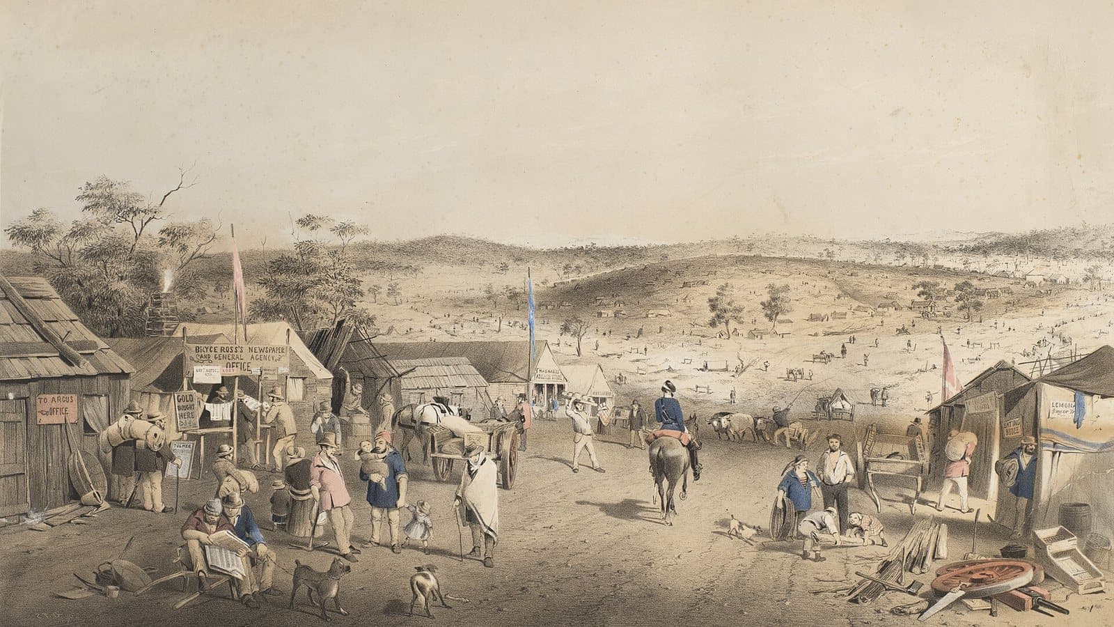
Forest Creek, Castlemaine, 1852. S. T. Gill, public domain.
The rules in one minute
You need a Miner's Right
It costs $29.40 and lasts 10 years. Buy it online through Service Victoria or from an agent, and carry it with you. Under-18s can prospect with an adult who holds one.
Where you can go
Most State forests, regional parks, and the designated areas of the parks listed below. Private land with the landholder's permission.
Where you can't
National, state and wilderness parks (except their designated areas), nature reserves, Aboriginal heritage places, and the banned rivers and creeks.
Hand tools only
Picks, shovels, pans, sieves and metal detectors. No machinery, no explosives, no mercury. Fill your holes.
On private land under a mining, prospecting or retention licence, you also need the licence holder's consent. Source: Resources Victoria, checked 6 Nov 2026.
New: the central west changed on 5 October 2026
New parks were created across the central west. Closed to prospecting: Wombat-Lerderderg National Park, Mount Buangor National Park, Pyrenees National Park, Hepburn Conservation Park, Cobaw Conservation Park and nature reserves.
Still open: bushland reserves, and Bendigo, Hepburn, Barkstead, Blackwood, Fingerpost and Spargo Creek regional parks, plus Mount Cole, Mount Lonarch, Musical Gully-Camp Hill, Pyrenees and Trawalla Andrews State Forests. Source: Parks Victoria.
The banned rivers and creeks
Victoria bans prospecting in more than 200 named rivers and creeks, and some of them run straight through famous goldfields: Bendigo Creek, the Loddon and Avoca rivers, Bet Bet Creek near Dunolly, Creswick Creek, the Yarrowee at Ballarat, the Ovens and most of its tributaries in the north-east, and the Yarra above the Plenty River, including Andersons Creek at Warrandyte.
Every guide below lists the banned waterways in and around it. Check the full list before you go.
Check any spot in seconds
On the Dig Here map, turn on Land tenure and Current leases and tap anywhere. You get a straight YES or NO, the reason, and what you need. All 1,774 Victorian mining titles are on the map, refreshed every Sunday, and every creek shows its flow direction. See what changed this week on the Mining Lease Updates page.
The Golden Triangle
Dunolly, Moliagul, Wedderburn, Inglewood and St Arnaud. Big-nugget detecting country, home of the Welcome Stranger and the Hand of Faith.
Open with a Miner's Right
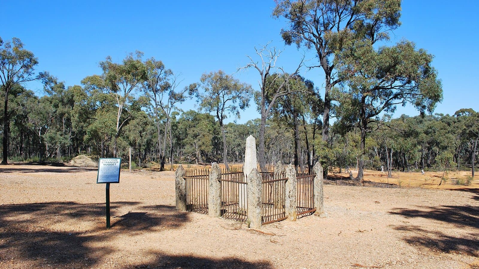
Moliagul State Forests
15 km north-west of Dunolly · 21 old workings
The forests around the tiny town where the Welcome Stranger, the biggest alluvial gold nugget ever found, came out of the ground in 1869.
Open with a Miner's Right
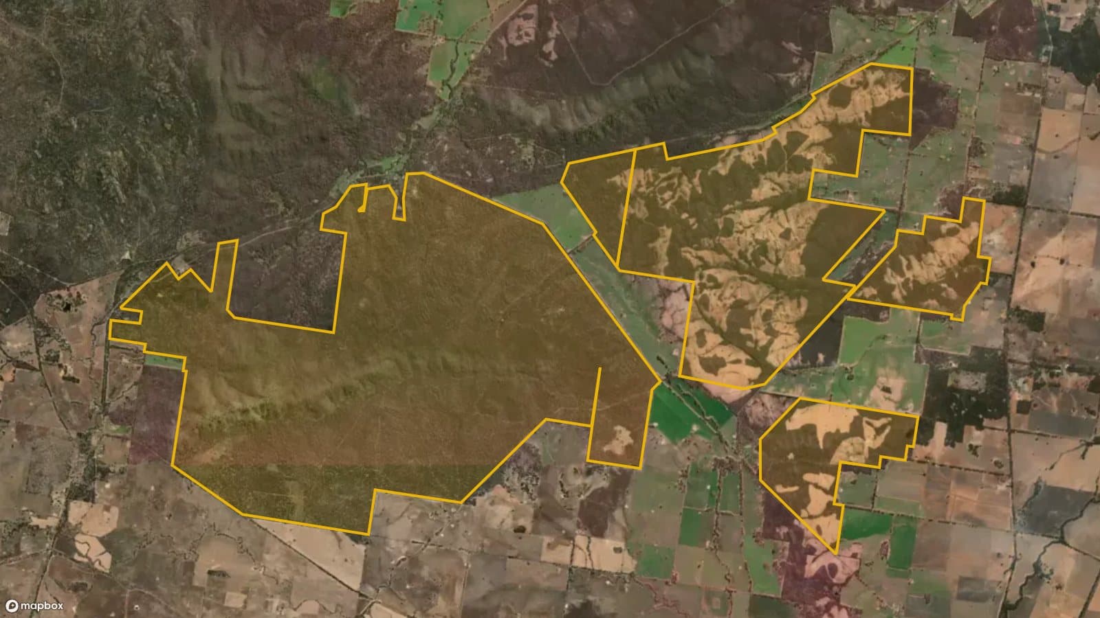
Kingower State Forest
12 km west of Inglewood · 2 old workings
Small forest blocks near Kingower, where the Hand of Faith, the largest nugget ever found with a metal detector, turned up in 1980.
Designated areas only
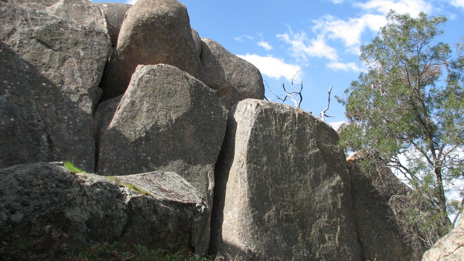
Kooyoora State Park
18 km west of Inglewood · 4 old workings
Granite ranges and box-ironbark forest with the Melville Caves, the hideout of the bushranger Captain Melville. Prospecting in the designated areas only.
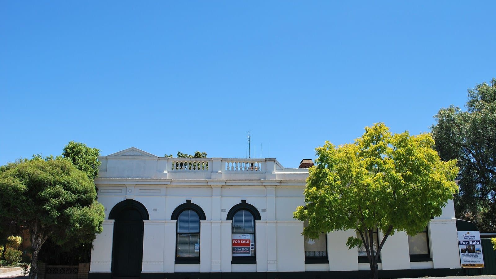
Open with a Miner's Right
Wedderburn State Forest
Wedderburn · 37 old workings
A State forest right on the edge of Wedderburn, one of the best-known nugget towns in Victoria.
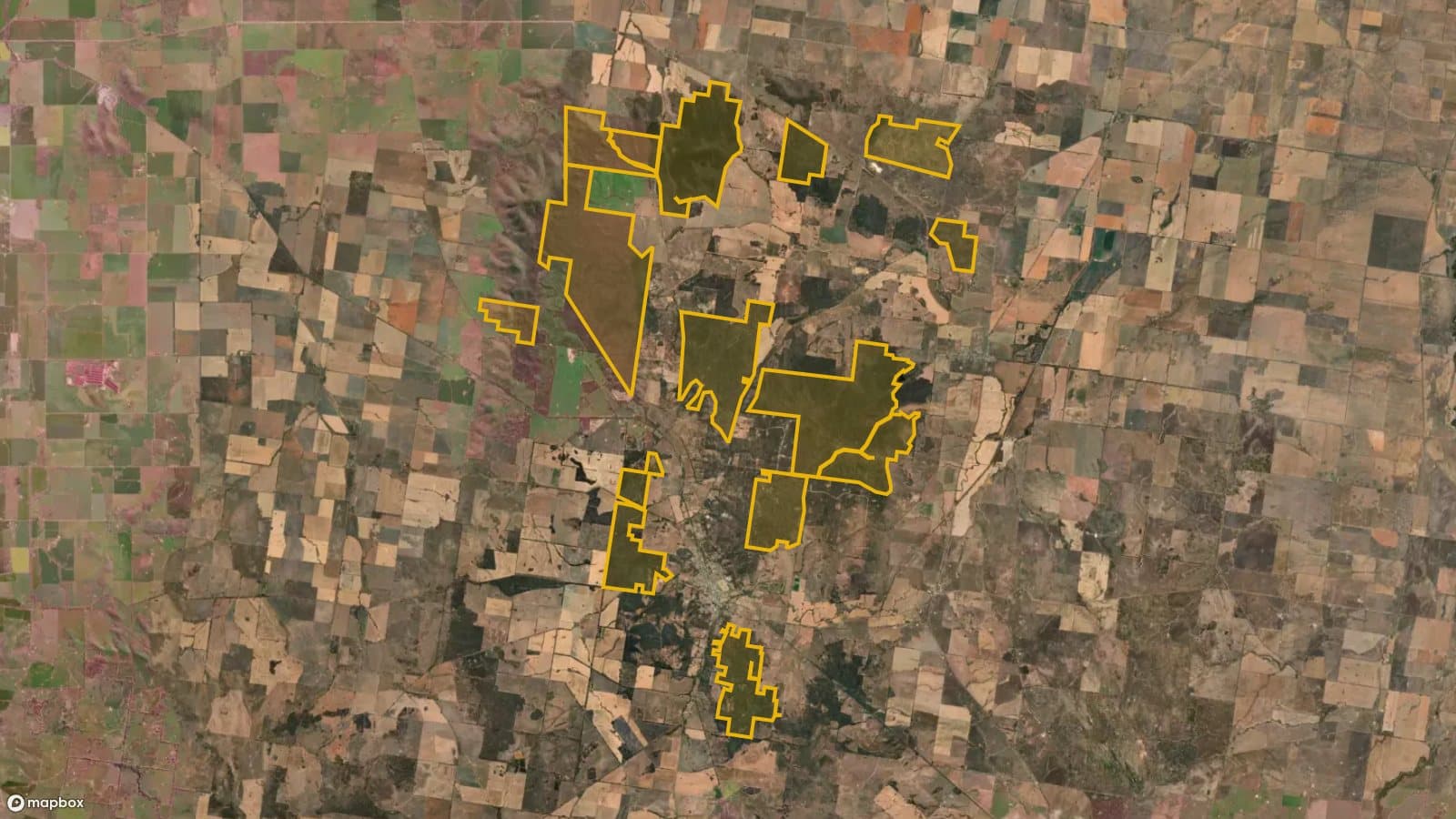
Designated areas only
Wychitella Nature Conservation Reserve
5 km north of Wedderburn · 102 old workings
Mallee and box-ironbark country north of Wedderburn with more than 100 recorded old workings, open in its designated prospecting areas.
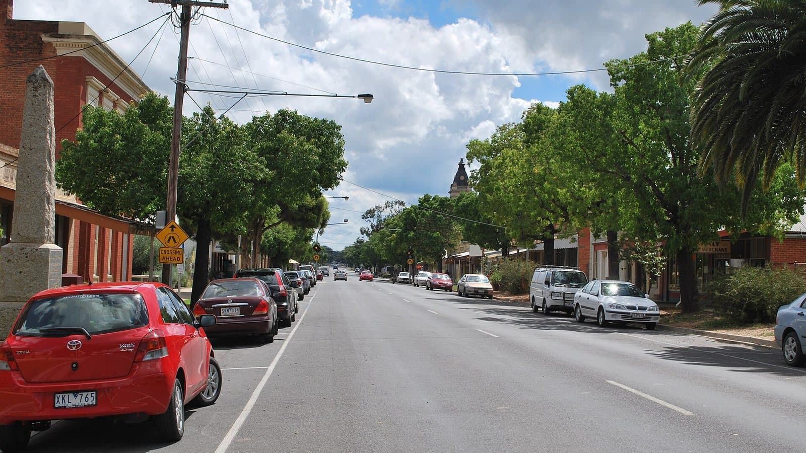
Open with a Miner's Right
Mt Hooghly State Forest
5 km west of Dunolly · 16 old workings
Forest blocks just west of Dunolly, the town at the centre of the Golden Triangle.
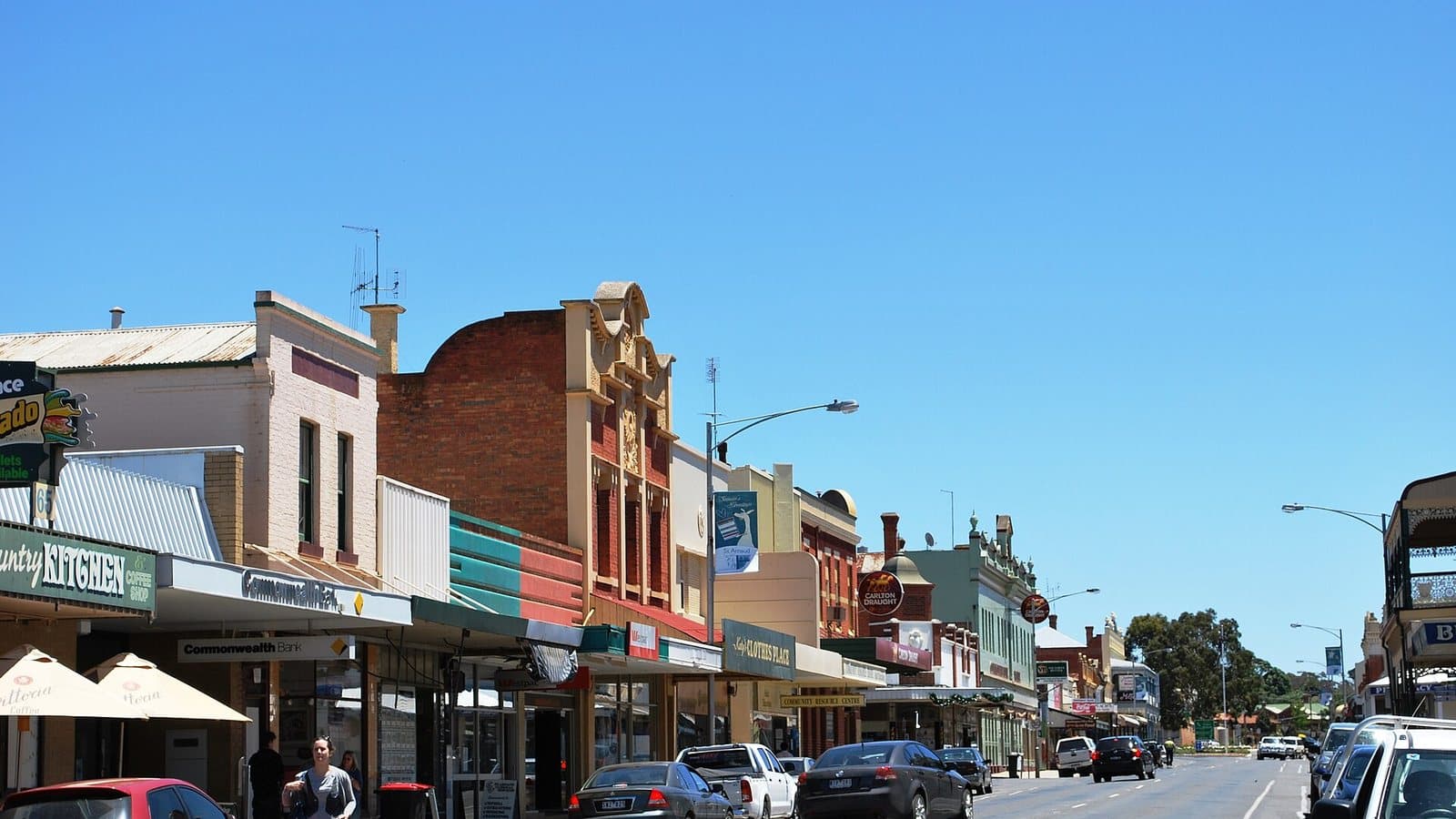
Designated areas only
Kara Kara National Park
15 km south of St Arnaud · 13 old workings
The St Arnaud Range, south of St Arnaud. A national park, but with designated areas where prospecting is allowed.
Bendigo and Heathcote
Reef gold. Bendigo was one of the richest goldfields in the world, and the box-ironbark parks around it are open in places.
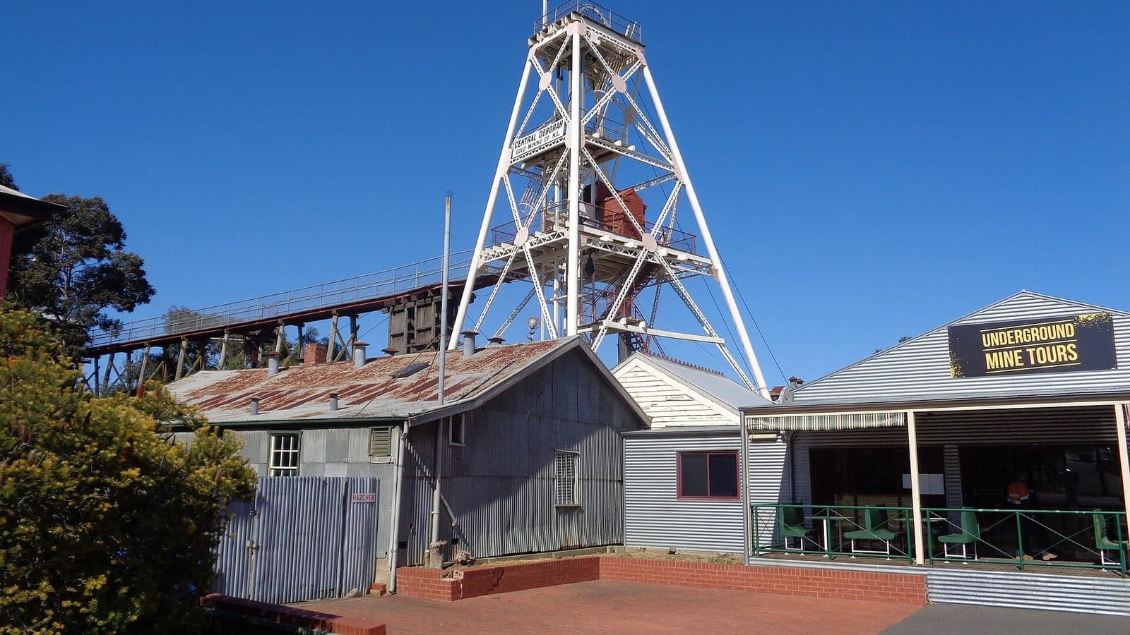
Open in part, designated areas in the rest
Greater Bendigo National Park and Bendigo Regional Park
Bendigo · 98 old workings
The box-ironbark forests that ring Bendigo, one of the richest goldfields on earth. The regional park is open; the national park is open in its designated areas.
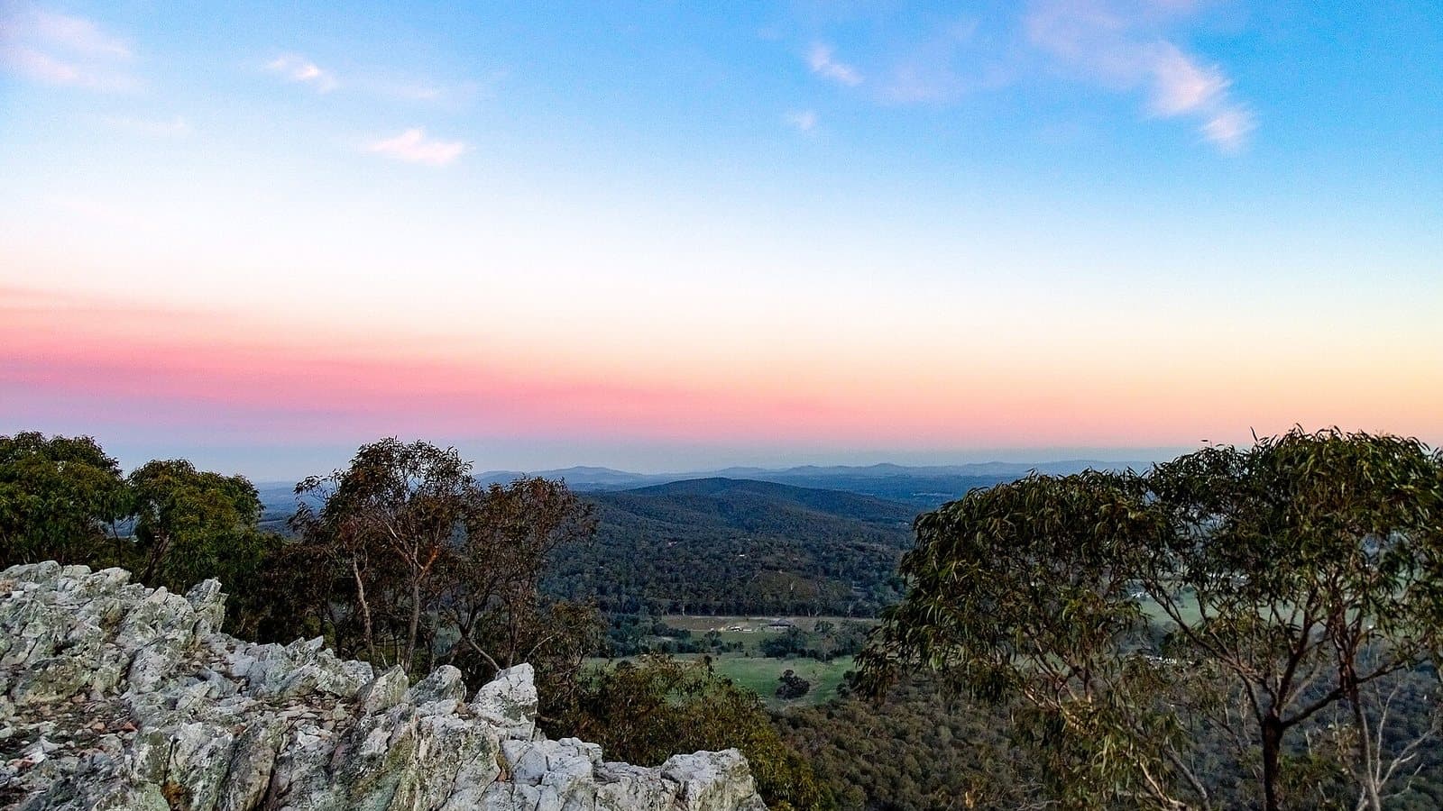
Designated areas only
Heathcote-Graytown National Park
East of town of Heathcote · 29 old workings
Victoria's largest remaining box-ironbark forest, east of Heathcote, on the old McIvor diggings. Open in its designated areas.
Castlemaine and Maryborough
The Mount Alexander diggings, a landscape still scarred by the 1850s, and the Paddys Ranges outside Maryborough.
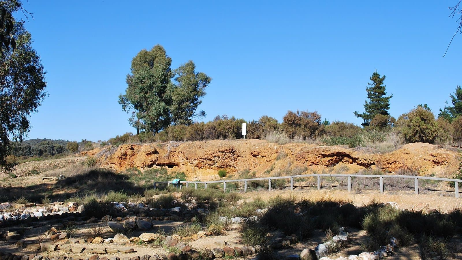
Designated areas only
Castlemaine Diggings National Heritage Park
South of town of Castlemaine · 1,363 old workings
The Mount Alexander diggings of 1851, Australia's first national heritage park. More than 1,300 recorded old workings, and prospecting in the designated areas.
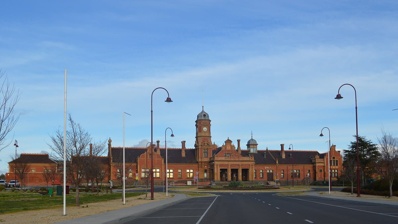
Designated areas only
Paddys Ranges State Park
5 km south of Maryborough · 21 old workings
Box-ironbark ranges just south of Maryborough, a town built on the 1854 rush. Open in its designated areas.
Ballarat, Creswick and Daylesford
The central west changed on 5 October 2026. Regional parks and State forests stay open; the new national parks are closed.
Open with a Miner's Right
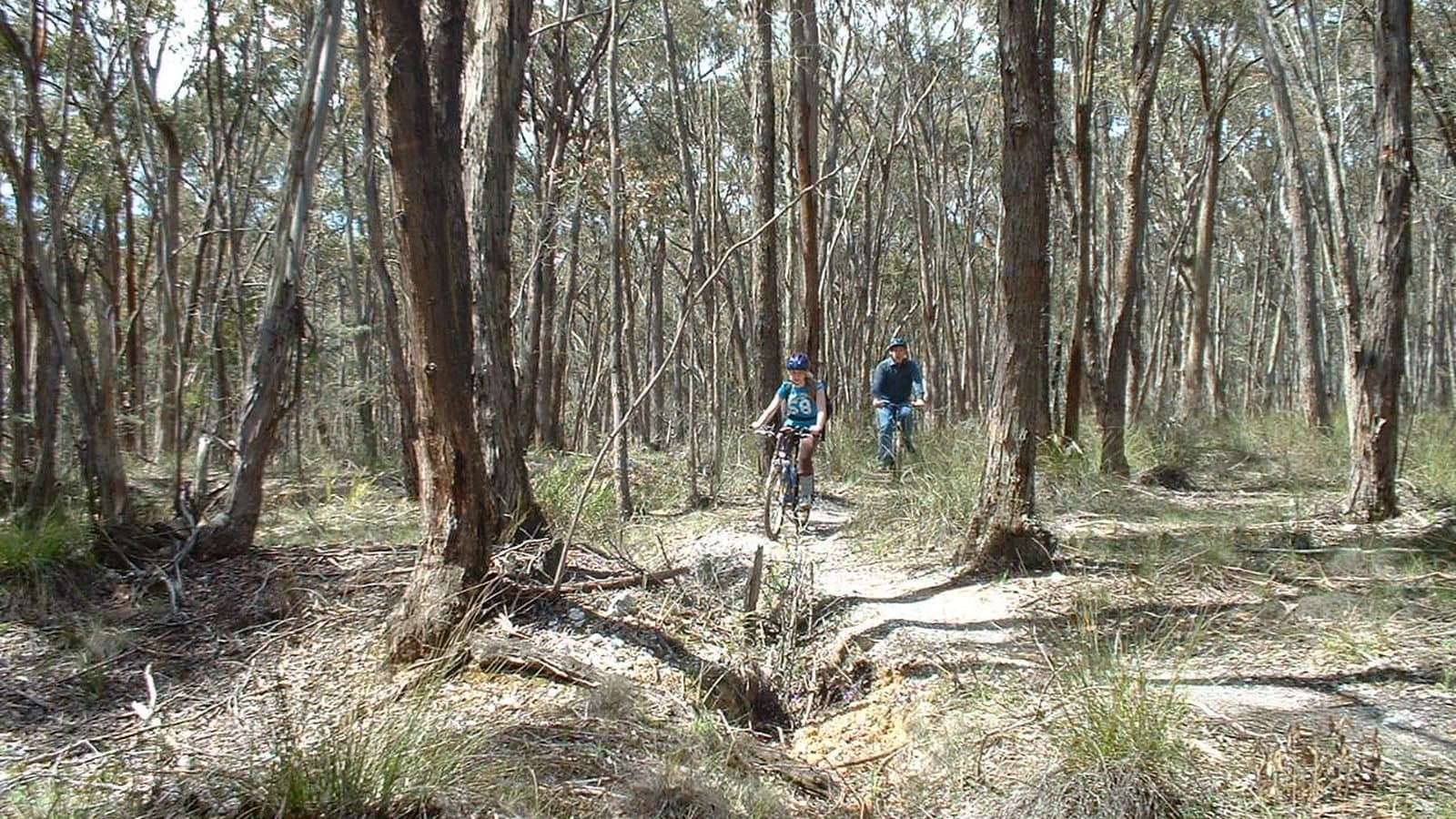
Creswick Regional Park and State Forest
Creswick · 4 old workings
Forest right next to Creswick, a Ballarat-district gold town. Regional parks stay open to prospecting after the 5 October 2026 changes.
Open with a Miner's Right
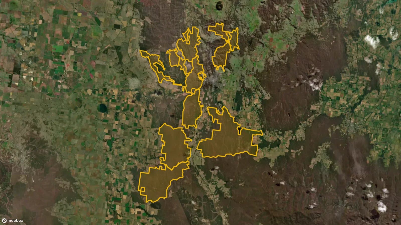
Hepburn Regional Park
Daylesford · 52 old workings
The forest around Daylesford and Hepburn Springs, on the old Jim Crow diggings. Prospecting continues here; the new Wombat-Lerderderg National Park next door is closed.
Open with a Miner's Right
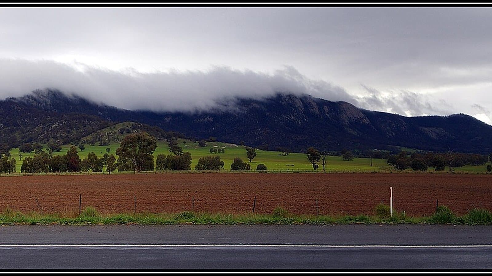
Mount Cole State Forest
20 km north-west of Beaufort
A big forest in the ranges near Beaufort, named by Parks Victoria as one of the forests where prospecting continues after the central west changes.
The North-East
Beechworth and Chiltern, on the Ovens goldfield. Many streams here are on the banned list, so check before you dig.
Designated areas only
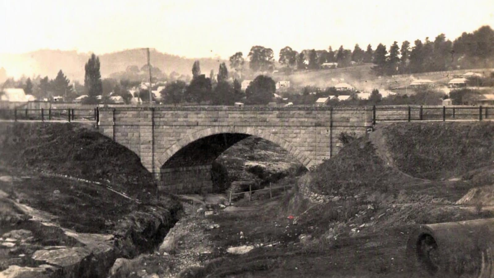
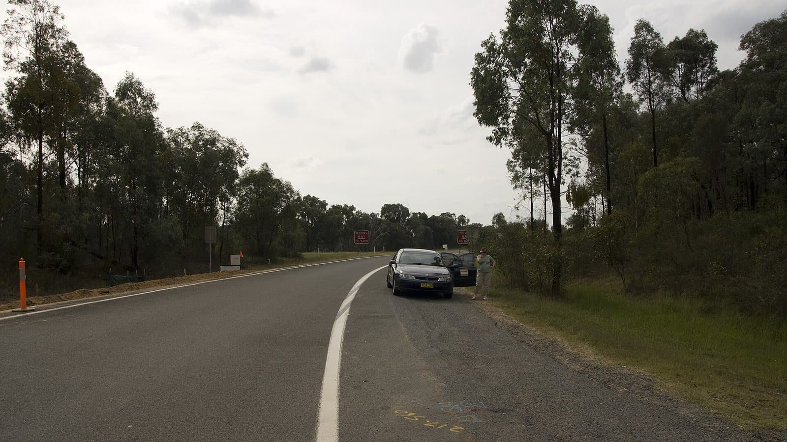
Beechworth Historic Park
Beechworth · 5 old workings
The granite gorge and old diggings beside Beechworth, centre of the Ovens goldfield. Open in its designated areas.
Designated areas only
Chiltern-Mt Pilot National Park
East and south of town of Chiltern · 88 old workings
Box-ironbark forest between Chiltern and Beechworth on the old Chiltern and Eldorado diggings, with 88 recorded old workings. Designated areas only.
Near Melbourne and Geelong
Warrandyte, where Victoria's gold story began in 1851, and Steiglitz in the Brisbane Ranges.
Designated areas only
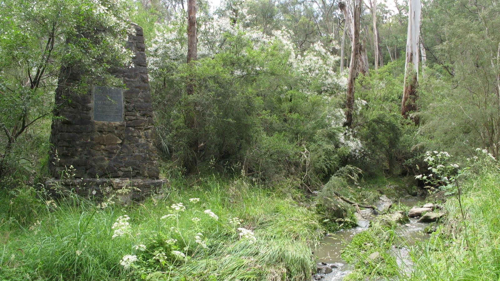
Warrandyte State Park
Warrandyte
Victoria's gold story started here, on Andersons Creek, in 1851. Only 25 km from Melbourne. Designated areas only.
Check with Parks Victoria
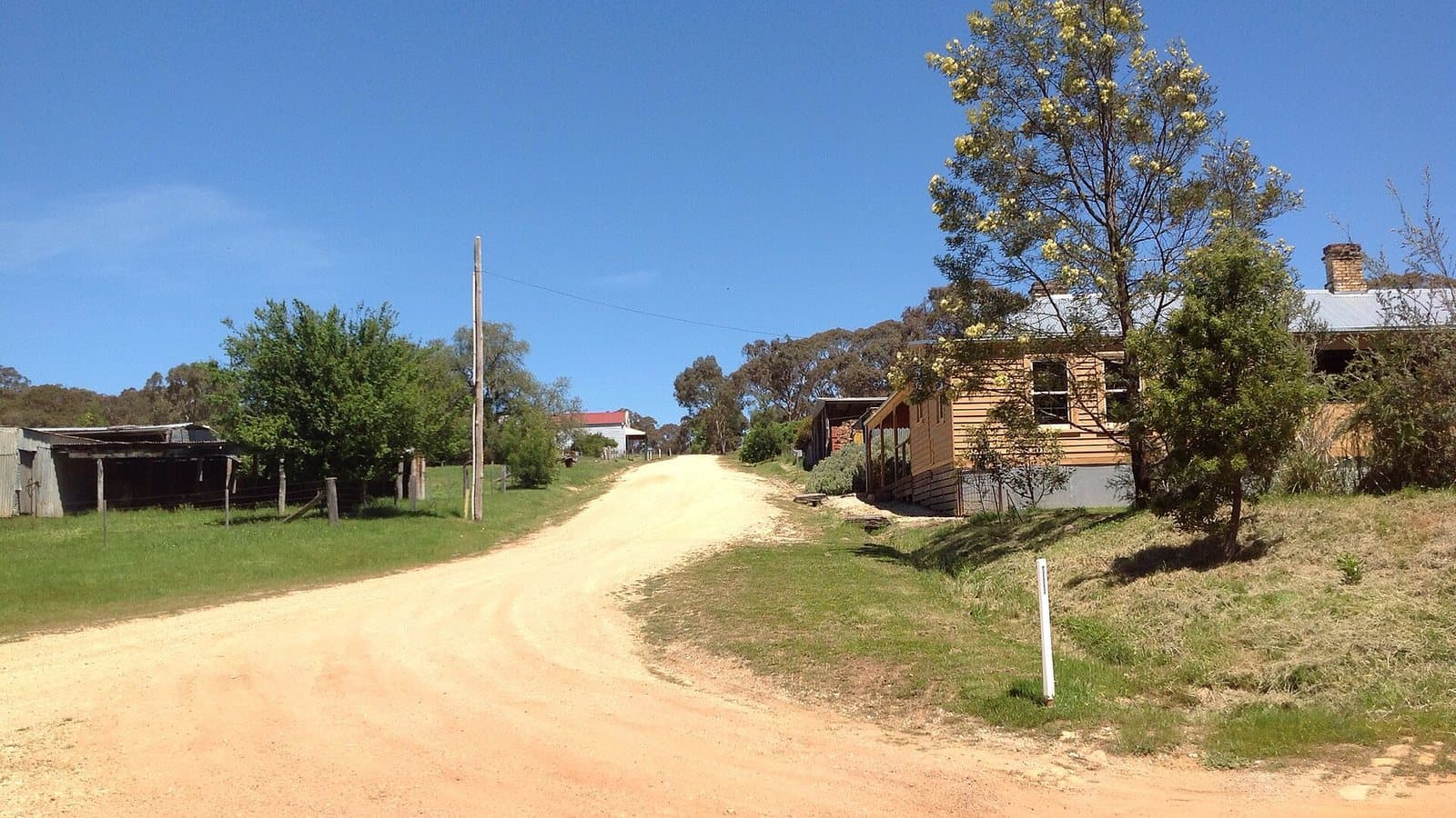
Steiglitz Historic Park
10 km east of Meredith · 16 old workings
A near-ghost town in the Brisbane Ranges, once a busy reef-gold town. Parks Victoria lists it as a prospecting park, but has no area map published.
Rules from Resources Victoria and Parks Victoria, checked 6 November 2026. Park and forest boundaries from DEECA Public Land and Parks. Old workings from the Dig Here historic workings layer. Photos from Wikimedia Commons, credited on each page. Rules and closures change: always check Parks Victoria (13 1963) and Forest Fire Management Victoria before you go.