Mt Hooghly State Forest
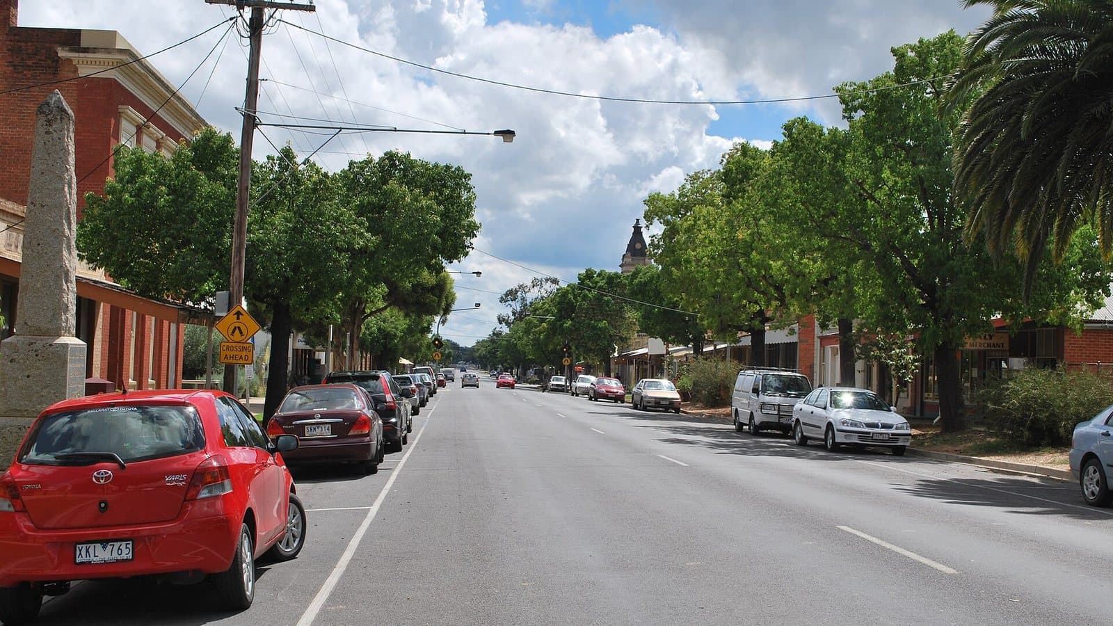
Forest blocks just west of Dunolly, the town at the centre of the Golden Triangle.
Land
State forest
Nearest town
Dunolly
Distance
5 km west
Old workings inside
16
Photo: Mattinbgn, Wikimedia Commons, CC BY-SA 3.0
Location
Mt Hooghly State Forest is near the Dunolly region
Fossicking Area Boundary
Official declared boundary from the NT Government. You may only fossick within this area.
Boundary coordinates from NT Government gazettal
Can you prospect here?
- !State forest: prospecting is allowed with a current Miner's Right and hand tools, including a metal detector.
Banned waterways here: Bet Bet Creek, Burnt Creek. Victoria bans prospecting in these rivers and creeks. Full list.
Mining and exploration licences can sit over any of this ground. On the Dig Here map, turn on Land tenure and Current leases and tap the spot: you get a straight YES or NO, and the titles update every Sunday.
History
Dunolly grew from the rushes of the 1850s and is famous for the number of large nuggets found in its district. The Welcome Stranger was taken to the bank at Dunolly in 1869.
Where to look
Old reef workings and shallow ground through the forest. Our workings layer shows 16 recorded workings inside the boundary, including Caledonian and Hibernia reefs.
Getting there
West of Dunolly via local roads off the Dunolly-Moliagul Road.
Camping
Dispersed camping is generally allowed in State forests unless signs say otherwise. Dunolly has a caravan park.
See Mt Hooghly State Forest on the map
Old workings, flow direction on every creek, mining titles and a YES or NO for any spot.
Open the mapMore in The Golden Triangle
Rules: Resources Victoria and Parks Victoria, checked 6 Nov 2026. Boundaries: DEECA Public Land and Parks. Always check before you go.