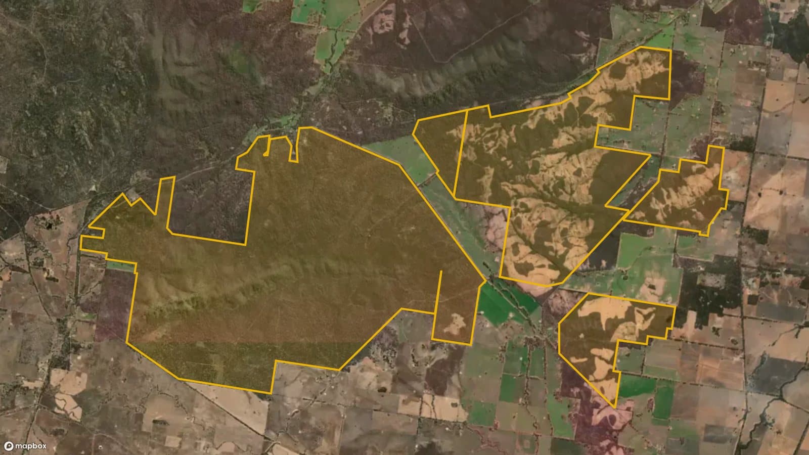
Kingower State Forest
Small forest blocks near Kingower, where the Hand of Faith, the largest nugget ever found with a metal detector, turned up in 1980.
Land
State forest
Nearest town
Inglewood
Distance
12 km west
Old workings inside
2
Satellite: Mapbox, Maxar. Boundary: DEECA
Location
Kingower State Forest is near the Inglewood region
Fossicking Area Boundary
Official declared boundary from the NT Government. You may only fossick within this area.
Boundary coordinates from NT Government gazettal
Can you prospect here?
- !State forest: prospecting is allowed with a current Miner's Right and hand tools, including a metal detector.
- !Kooyoora State Park next door allows prospecting only in its designated areas.
Banned waterways here: Bullabul Creek, Kangderaar Creek. Victoria bans prospecting in these rivers and creeks. Full list.
Mining and exploration licences can sit over any of this ground. On the Dig Here map, turn on Land tenure and Current leases and tap the spot: you get a straight YES or NO, and the titles update every Sunday.
History
In 1980 Kevin Hillier found the Hand of Faith near Kingower with a metal detector. At about 27 kg it is the largest gold nugget ever found with a detector, and it was lying close to the surface.
Kingower is on the edge of the Kooyoora Range, between Inglewood and Rheola, in country that was worked hard in the 1850s and 1860s.
Where to look
Old surface diggings and shallow ground on the forest blocks. Detector users do best on ground the old-timers could only pan.
Getting there
Kingower is off the Calder Highway west of Inglewood. The forest blocks are reached by local roads and forest tracks.
Camping
Dispersed camping is generally allowed in State forests unless signs say otherwise. Melville Caves in Kooyoora State Park has a campground.
See Kingower State Forest on the map
Old workings, flow direction on every creek, mining titles and a YES or NO for any spot.
Open the mapMore in The Golden Triangle
Rules: Resources Victoria and Parks Victoria, checked 6 Nov 2026. Boundaries: DEECA Public Land and Parks. Always check before you go.