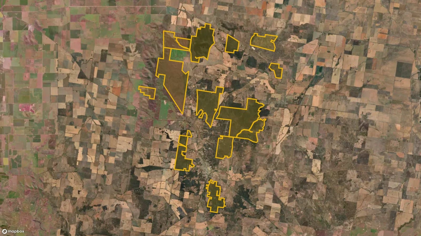
Wychitella Nature Conservation Reserve
Mallee and box-ironbark country north of Wedderburn with more than 100 recorded old workings, open in its designated prospecting areas.
Land
Nature conservation reserve (designated prospecting areas)
Nearest town
Wedderburn
Distance
5 km north
Old workings inside
102
Satellite: Mapbox, Maxar. Boundary: DEECA
Location
Wychitella Nature Conservation Reserve is near the Wedderburn region
Fossicking Area Boundary
Official declared boundary from the NT Government. You may only fossick within this area.
Boundary coordinates from NT Government gazettal
Can you prospect here?
- !Prospecting is allowed only in the designated areas shown on the Parks Victoria map.
- !A current Miner's Right and hand tools only.
Parks Victoria prospecting areas map (PDF)
Mining and exploration licences can sit over any of this ground. On the Dig Here map, turn on Land tenure and Current leases and tap the spot: you get a straight YES or NO, and the titles update every Sunday.
History
The reserve takes in the old diggings north of Wedderburn. Our workings layer shows 102 recorded workings inside it, most of them old alluvial leads.
Where to look
The designated areas only. The old leads and reef workings are where the gold was, and where detector users still look.
Getting there
North of Wedderburn off the Wedderburn-Wychitella Road and the Borung Highway.
Camping
Check with Parks Victoria (13 1963) for camping in the reserve. Wedderburn has a caravan park.
See Wychitella Nature Conservation Reserve on the map
Old workings, flow direction on every creek, mining titles and a YES or NO for any spot.
Open the mapMore in The Golden Triangle
Rules: Resources Victoria and Parks Victoria, checked 6 Nov 2026. Boundaries: DEECA Public Land and Parks. Always check before you go.